|
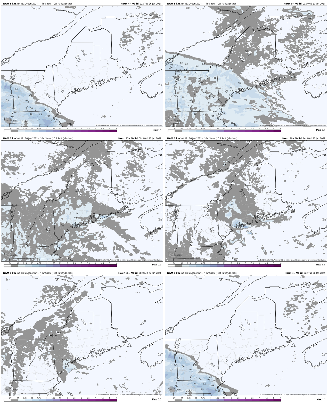
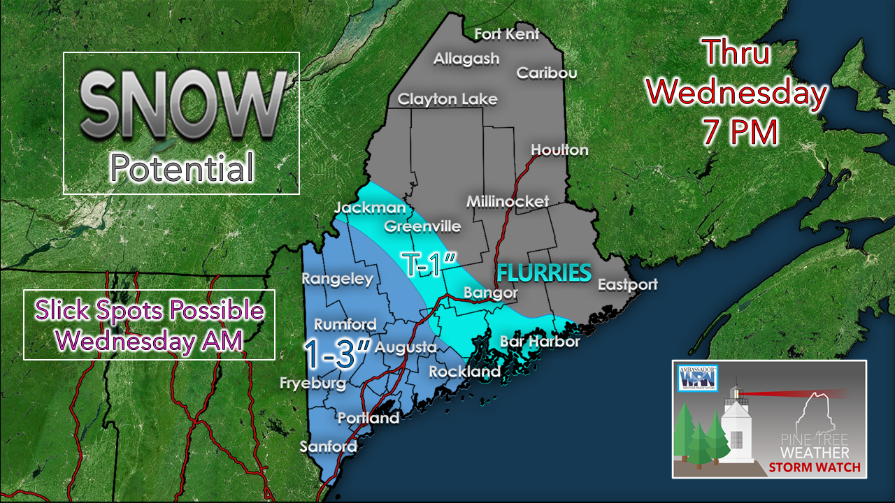
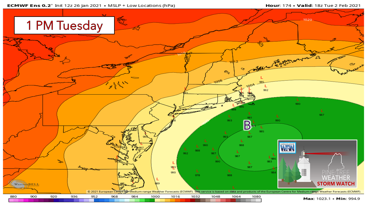
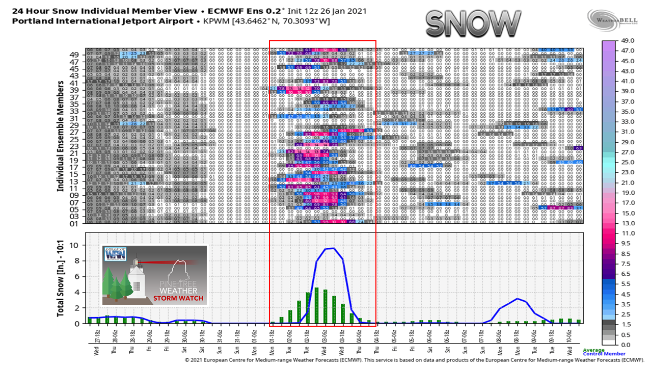
Just a heads up here that I am in depths of school. Not only am I keeping an eye on what is going on here for you folks, but I am also forecasting for New Orleans through next Friday for the education end of my life. I will be jumping around to other locations every two weeks for the next three months. The long discussions are going to go away until school ends for me in late April. I will drop in bits and pieces of information here and on Twitter as time permits. Thank you for your understanding. Light snow overnight to freshen up areas a bitA warm front nosing in from the southwest brings light snow to southern and western areas of the state overnight and into Wednesday. Most of this appears to be on the ground by Wednesday morning, Road crews should be able to get the main drags cleaned up in time for the morning commute. The secondary roads and other areas less traveled may be a bit slick in spots. The western mountains and coastal areas should be on the look out for a potential inverted trough set up as a major storm to the south taps into energy to the northwest. If you watch carefully at the end of this loop of potential 1 hour snowfall, you can see some enhancement at the end, which is by 5-7 PM Wednesday night. Expect off and on snow showers for Thursday and Friday as well. DownEast areas east of Cherryfield may see some flurries from this but that is a about it through Wednesday afternoon. This appears to be a Currier and Ives snowfall event overall, and help to whiten areas up that are currently seeing brown. Storm potential to watch next weekPardon me if you've seen this movie before. I am just going to do my due diligence here to say this something to watch. It's a week out, deterministic one-trick pony's are doing their thing, but going under the hood, there is still plenty of potential for this idea to change, either snowier or less to no snow. Looking at Portland here, there is roughly a 50% chance of snow next Tuesday. Of that 50%, about 50% of that thinks it could be a decent snowfall. We'll see what happens. Stay tuned. If you see snow, please mPING!mPINGers Wanted! Report your weather anywhere anytime anonymously and help improve forecast verification. No special training required. Download the mPING app and start reporting what you see from any location. For more information, check out the mPing site. Be prepared to receive alerts and stay updated!
For more information in between posts,
please follow Pine Tree Weather on Facebook and Twitter. Thank you for supporting this community based weather information source operates by financial contributions. Stay updated, stay on alert, and stay safe! Thank you as always for your support! - Mike |
Mike Haggett
|

