Pine Tree Weather
  • DISCUSSIONS
  • DONATE
  • WEATHER WALL
  • MAPS
  • RAIN OUTLOOK
  • SEVERE
  • MARINE
  • CPC OUTLOOK
  • Kennebunk
  • MY BIO
  • PTW IN MEDIA
  • OBSERVING WEATHER
  • INTERNSHIPS
  • INTERN ALUMNI
  • DISCUSSIONS
  • DONATE
  • WEATHER WALL
  • MAPS
  • RAIN OUTLOOK
  • SEVERE
  • MARINE
  • CPC OUTLOOK
  • Kennebunk
  • MY BIO
  • PTW IN MEDIA
  • OBSERVING WEATHER
  • INTERNSHIPS
  • INTERN ALUMNI

A few showers for the coast Thursday; interior snow likely to start the weekend

5/6/2020

Comments


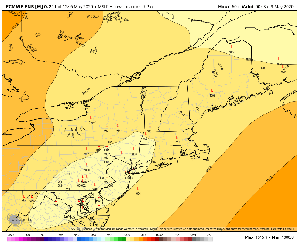
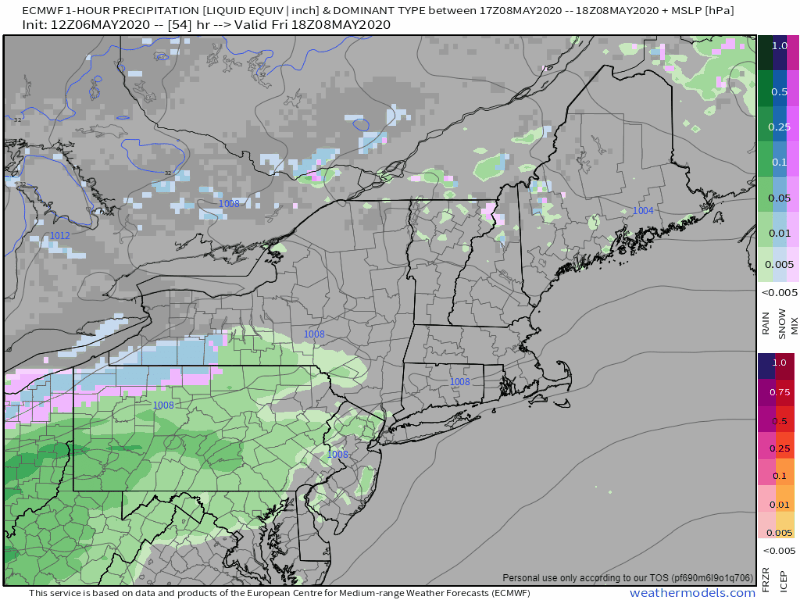
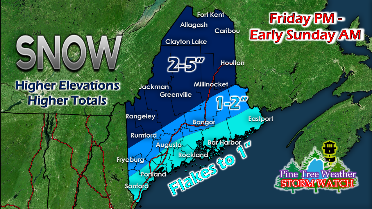
Forecast for Thursday into Friday morning

Picture
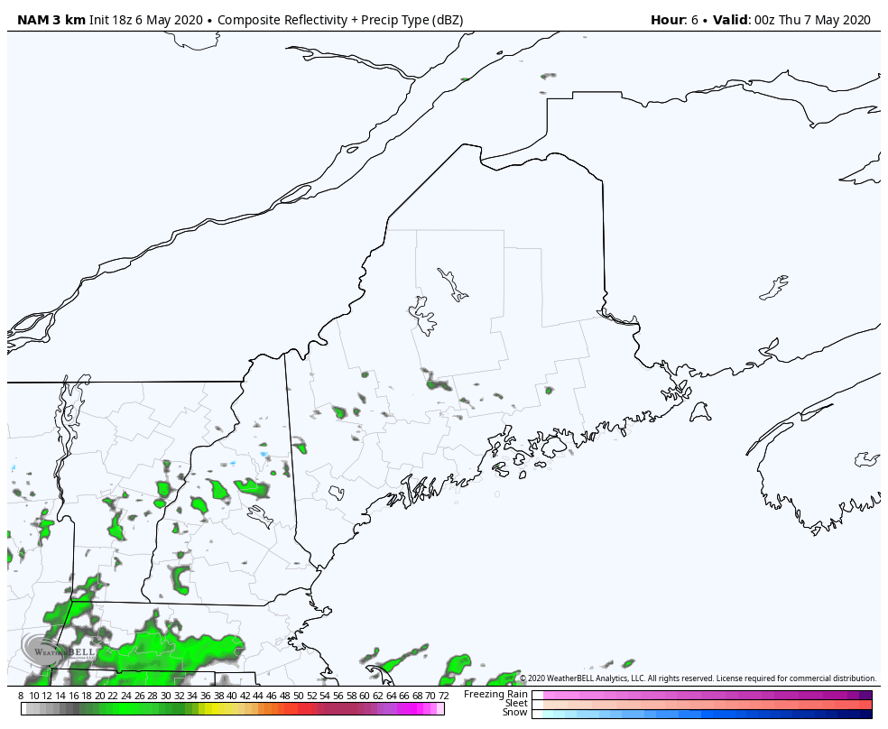
NAM model precipitation forecast 8 PM Wednesday to 8 PM Thursday
Clouds generated during Wednesday hang around for the overnight for most areas outside of the Allagash region. The coastal plain may pick up a light shower through early Thursday morning, but rain amounts are expected to be very low. Lows to start Thursday will be in the upper 20s for the far northwestern part of Aroostook, 30s to near 40° elsewhere.

Thursday starts off with varying amounts of clouds early, perhaps some clearing for a time with clouds on the increase through the afternoon. High temperatures range in the 50s for most, 60° possible for interior southwestern areas. Shorelines deal with the seabreeze which may pop a brief light shower in the afternoon.  
Picture
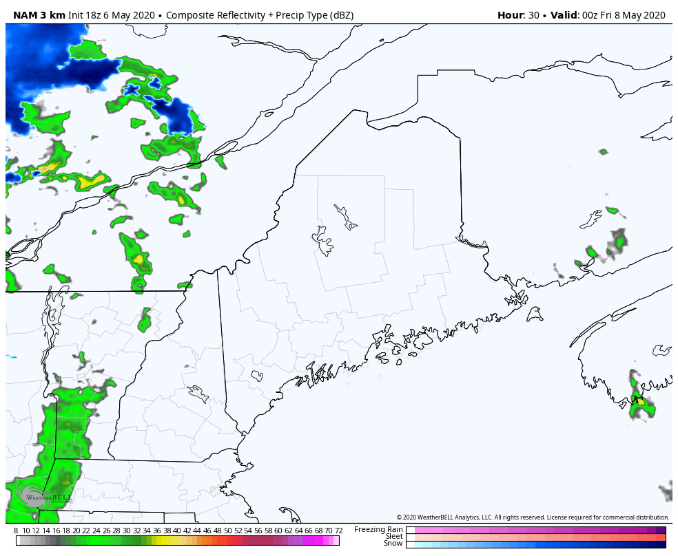
NAM model precipitation forecast 8 PM Thursday to 11 AM Friday
A cold front passes through the region Thursday night into Friday morning. The mountains could see some snow shower activity, with a chance for a shower elsewhere. Overnight lows range from the upper 20s in the mountains, 30s for most, with 40° possible along the coast. 

This cold front is one of the key table setters for the storm that impacts the region Friday night into Saturday.

Heavy, wet snow to impact interior areas
​to start the weekend

Picture
Right out the gate I will forewarn you that the track is not nailed down as of yet. As the Euro ensemble run above indicates there is some uncertainty with track and timing. Since the event kicks into gear Friday night into early Saturday, what happens in darkness will be key. 
Picture
European model 1 hour precipitation / sea level pressure forecast 2 PM Friday to 2 AM Sunday
The operational / deterministic models for the most part are indicating a coastal hugger at this point, but ensembles are bit further offshore, which creates some of the uncertainty. While the mountains are likely to get the higher snowfall totals, who gets how much elsewhere depends on the timing and track. There is plenty of moisture to work with here as this has a Gulf of Mexico hose attached to it. The upper level pieces I discussed here yesterday (driver / kicker) appear to come together during the day on Saturday. By the time the storm gets to Maine Friday night, it appears to be in early development stage and then will mature as it moves eastward into the Canadian Maritimes Saturday afternoon. This means while the region gets some impacts, the bigger threat is for our neighbors to the east. 
Picture
My first call on snowfall shows the heavier amounts over the interior. A few things to keep in mind here. This is May. The sun angle is high, which helps warm the atmosphere. We are dealing with some deep anomalous cold, however. There will be records shattered for recorded temperatures in the sky above. Most of the snow from the season is gone, and soil temperatures have warmed up, so snow will melt.

The concern I have is with "the thump" to come, especially over interior areas where hourly snowfall rates could be 1-1.5" per hour. Ground temperature does not matter in that case.  This will cause snow covered roads and slick spots. 

With tropical hose, there is always the chance for thunder to come along with it.  

The storm will intensify, and with that,  comes wind.  Places that see snow stick to everything will need to be concerned with power outages. Fortunately with this painfully slow, cold spring going on, the foliage has not developed on trees, which helps reduce the power loss potential somewhat.  That said, interior areas should keep supplies on the ready in case disruption of power occurs. 

Shovelling of this storm is optional. 

Storm aftermath

Sunday appears to be on the breezy side as the storm slowly moves eastward. The wind starts off in the northwest then shifts west by afternoon, and settles down toward evening. Temperatures range in the mid to upper 30s where there is snowpack, 40s for most with perhaps 50s for interior York County. The wind chill is different story with 20s for snowpack regions 30s/40s elsewhere. The cooler than normal trend continues into next week as it appears for now. 

​► ► For the latest official forecasts, bulletins and advisories, please check in with the National Weather Service in Gray for western and southern areas, or Caribou for northern and eastern parts of Maine.

Thanks as always for your support!

​- Mike
Comments
    Picture

    Mike Haggett
    Kennebunk, ME

    Weather-Ready Nation
    Ambassador

    Certified Weather
    Forecaster
    Penn State '21

    American Meteorological Society

    National Weather Association
    ​
    ​SKYWARN-CWOP

    Matthew 19:26


    DONATE

    Picture
    Picture
    Picture
    Picture
    Picture

    Picture

    Picture

    Picture

    Picture

    Picture

    Picture

    Picture

    Picture

    Picture

    Picture

    Picture

    Picture


    Archives

    May 2025
    April 2025
    March 2025
    February 2025
    January 2025
    December 2024
    November 2024
    October 2024
    September 2024
    August 2024
    July 2024
    June 2024
    May 2024
    April 2024
    March 2024
    February 2024
    January 2024
    December 2023
    November 2023
    October 2023
    September 2023
    August 2023
    July 2023
    June 2023
    May 2023
    April 2023
    March 2023
    February 2023
    January 2023
    December 2022
    November 2022
    October 2022
    September 2022
    August 2022
    July 2022
    June 2022
    May 2022
    April 2022
    March 2022
    February 2022
    January 2022
    December 2021
    November 2021
    October 2021
    September 2021
    August 2021
    July 2021
    June 2021
    May 2021
    April 2021
    March 2021
    February 2021
    January 2021
    December 2020
    November 2020
    October 2020
    September 2020
    August 2020
    July 2020
    June 2020
    May 2020
    April 2020
    March 2020
    February 2020
    January 2020
    December 2019
    November 2019
    October 2019
    September 2019
    August 2019
    July 2019
    June 2019
    May 2019
    April 2019
    March 2019
    February 2019
    January 2019
    December 2018
    November 2018
    October 2018
    September 2018
    August 2018
    July 2018
    June 2018
    May 2018
    April 2018
    March 2018
    February 2018
    January 2018
    December 2017
    November 2017
    October 2017

Proudly powered by Weebly