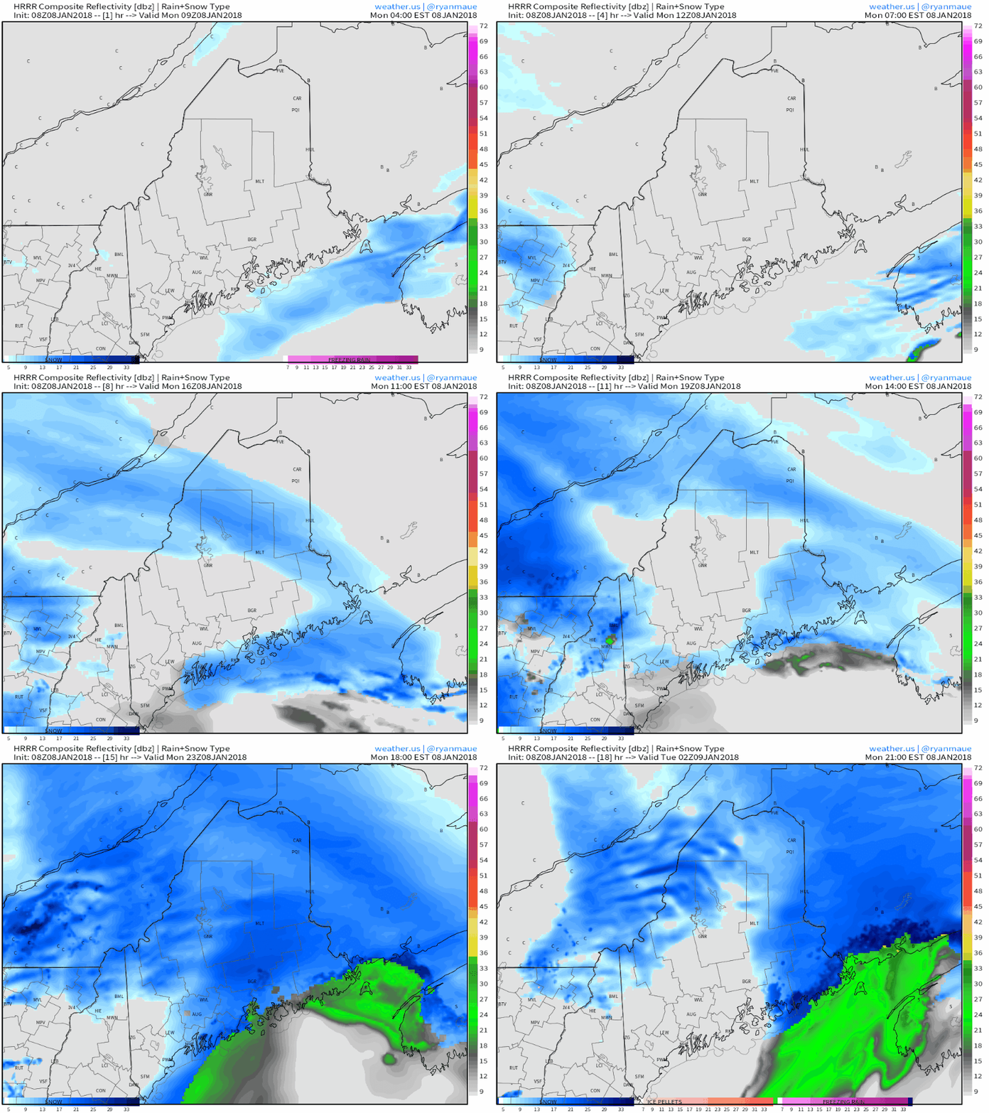
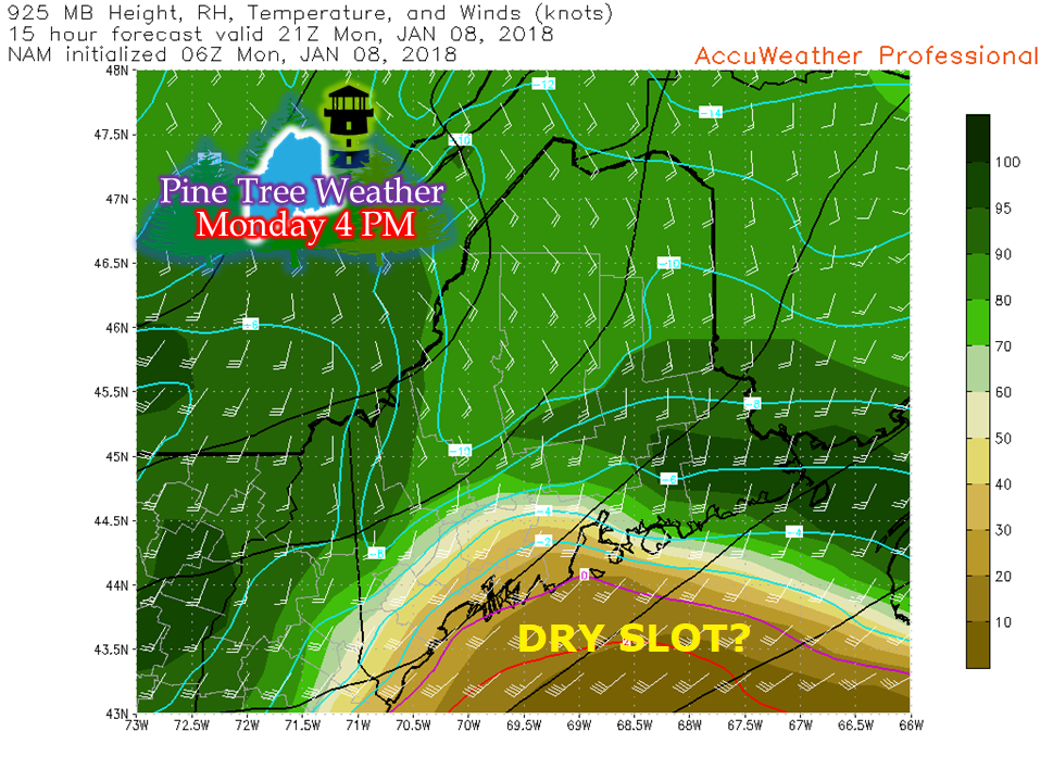
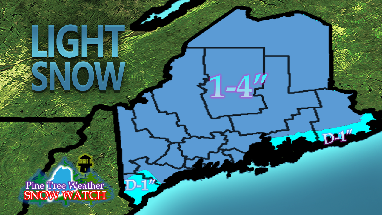
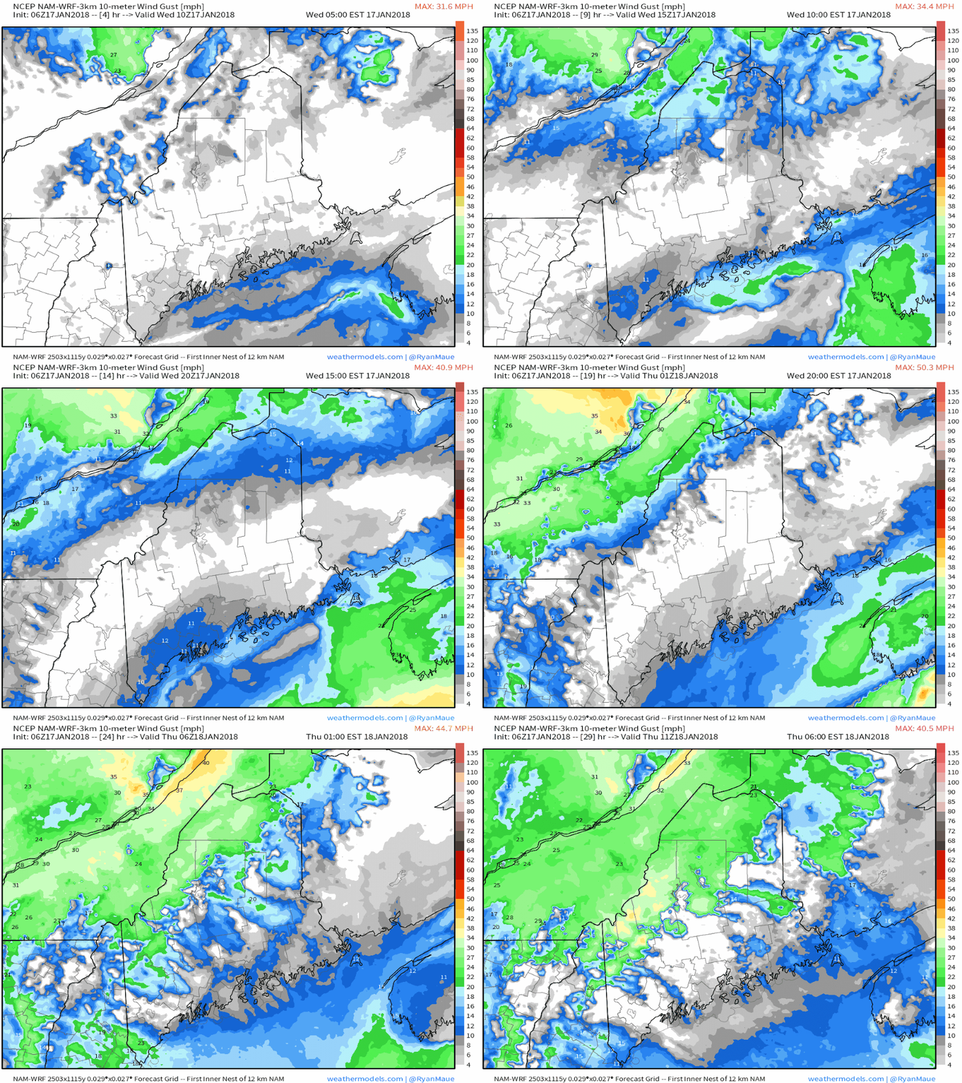
HRRR futurecast radarNo real changes to the forecast I presented here on Sunday. All in all, this won't be a big deal, but just enough to be a nuisance and slick the roads up a bit. Heaviest of the snow falls in the afternoon in time for the evening commute. This may not be a textbook "Body Shop Special" for southern areas, but could be for Augusta, Waterville and Bangor, with just enough accumulation to cause accidents by careless driving. The snow is likely to stick on any untreated areas given the deep cold as of late. To dry slot or not to dry slot... that is the questionI will micromanage this forecast a bit here of the potential for a low level dry slot that could knock down the already low accumulation predicted for the southwest coast. If this happens, snow totals around the Portland area south may amount to a dusting. Guidance is somewhat conflicted about this occurring. The difference here is an inch or two of accumulation. Because of that subtle conflict, I am not going to change my snow prediction. Areas where I may bust high would be in northern areas around the Van Buren area and Katahdin which could see around 6" at most. Areas where I may bust on the low end would be the southwest coast around Portland, the MidCoast, and perhaps Lewiston/Auburn. This is hair splitting at this point, because this isn't a big deal in the first place. Breeze picks up todayAfter a day where the wind finally took a break, it will pick up again this afternoon as the front approaches. It will be strong enough where it may reduce visibility a bit during the evening commute as the heavier snow showers and squalls work through.
Have a good day, and travel safe! - Mike |
Mike Haggett
|


