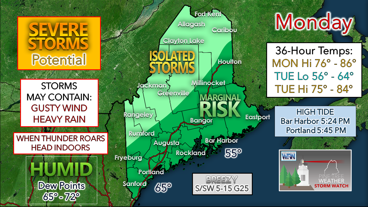
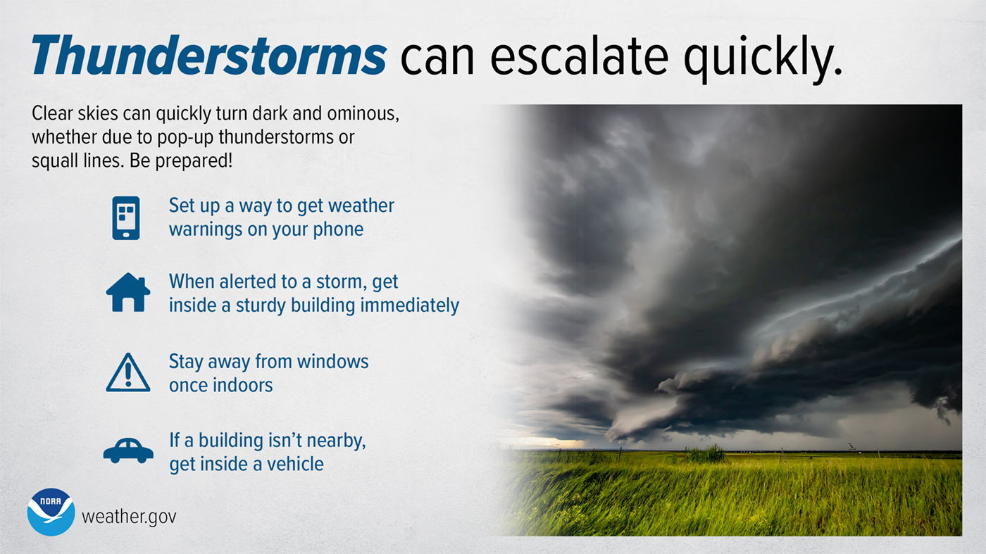
Humidity increases for a dayWith the high pressure system that gave us dry and pleasant weather well to the east, a southwest flow kicks up, and humidity values spike up to uncomfortable levels in a hurry across the state. A cold front situated along the St. Lawrence River early Monday morning moves southeast, and that triggers off showers and storms in the afternoon into early evening. The general trend with guidance is the parameters of severe chances appear low, but any that do form could bring heavy rain and gusty winds, with potential for damaging wind with any severe called storms. While the idea of localized flash flooding from downpours appears limited, there is potential for training / back building of storms which could dump 1-2" of rain in a very short period of time. The front clears the shoreline by 8-10 PM Monday evening. Humidity levels over the mountains and north drop quickly in the wake of the departure of the boundary, but it appears the coastal plain remains on the sticky side until around noon on Tuesday. With the humidity and areas that see rain, patchy fog is possible Monday night into Tuesday morning. Tuesday is on track to be a breezy, warm day with falling dew points to wrap up the month of August and meteorological summer. Remnants of Hurricane Ida is our next potential source for rain Wednesday night into Thursday, but guidance to this point is inconclusive on what happens with that. One idea gives the coastal plain a soaker, another a slight brush of rain along the shorelines, a third a complete miss. The set up does favor some rainfall, but how far north is still to be determined. ThunderstormsThunderstorms and squall lines can quickly turn clear skies dark. Stay Weather-Ready by having a way to get weather alerts on your phone and stay safe by immediately going inside when the skies turn threatening. weather.gov/safety/thunderstorm Be prepared to receive alerts and stay updated!
For more information in between posts, please follow Pine Tree Weather on Facebook and Twitter.
Thank you for supporting this community-based weather information source which operates by reader supported financial contributions. Stay updated, stay on alert, and stay safe! - Mike |
Mike Haggett
|


