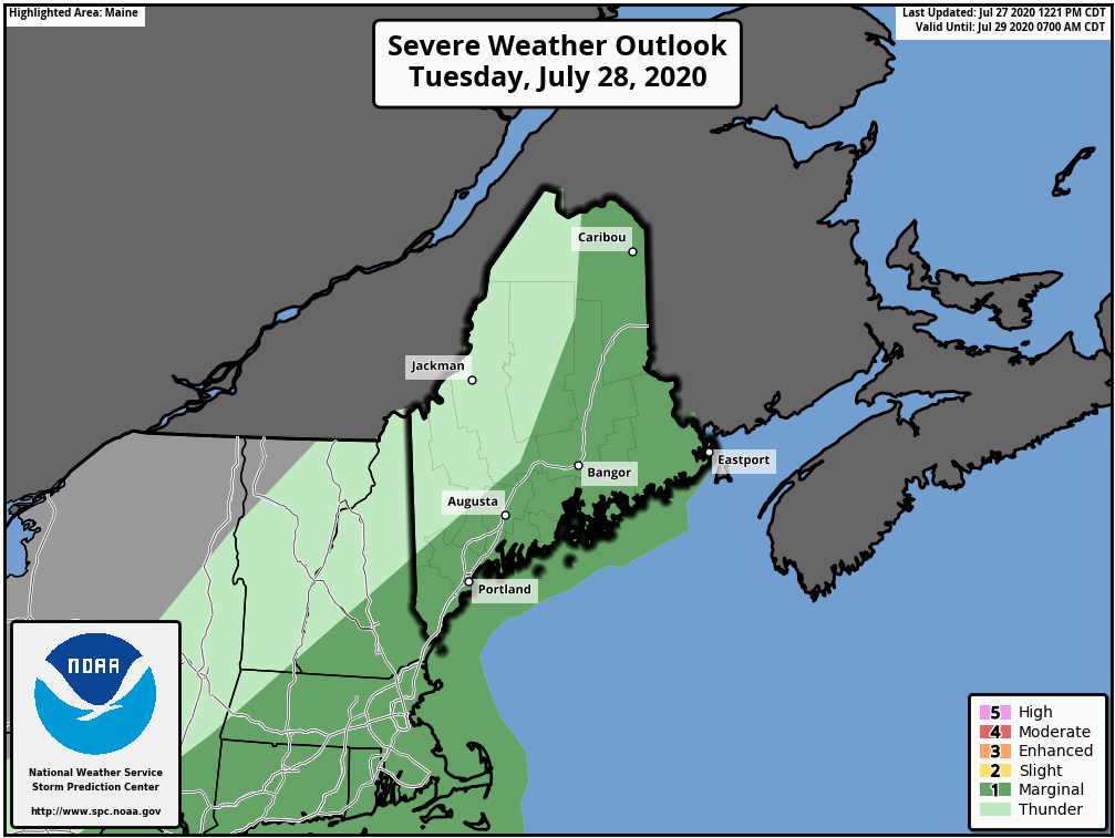
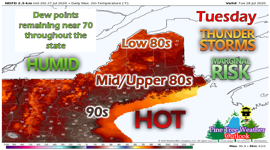
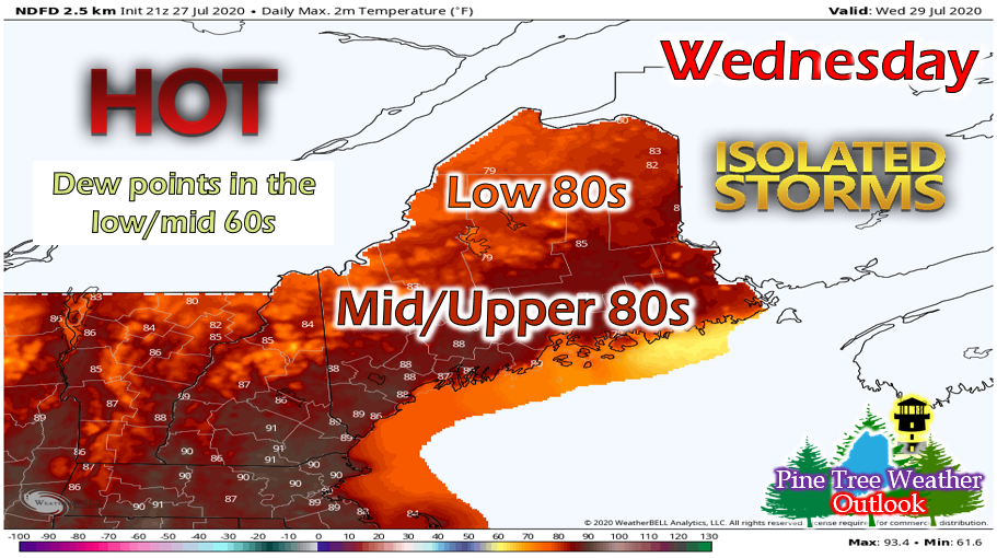
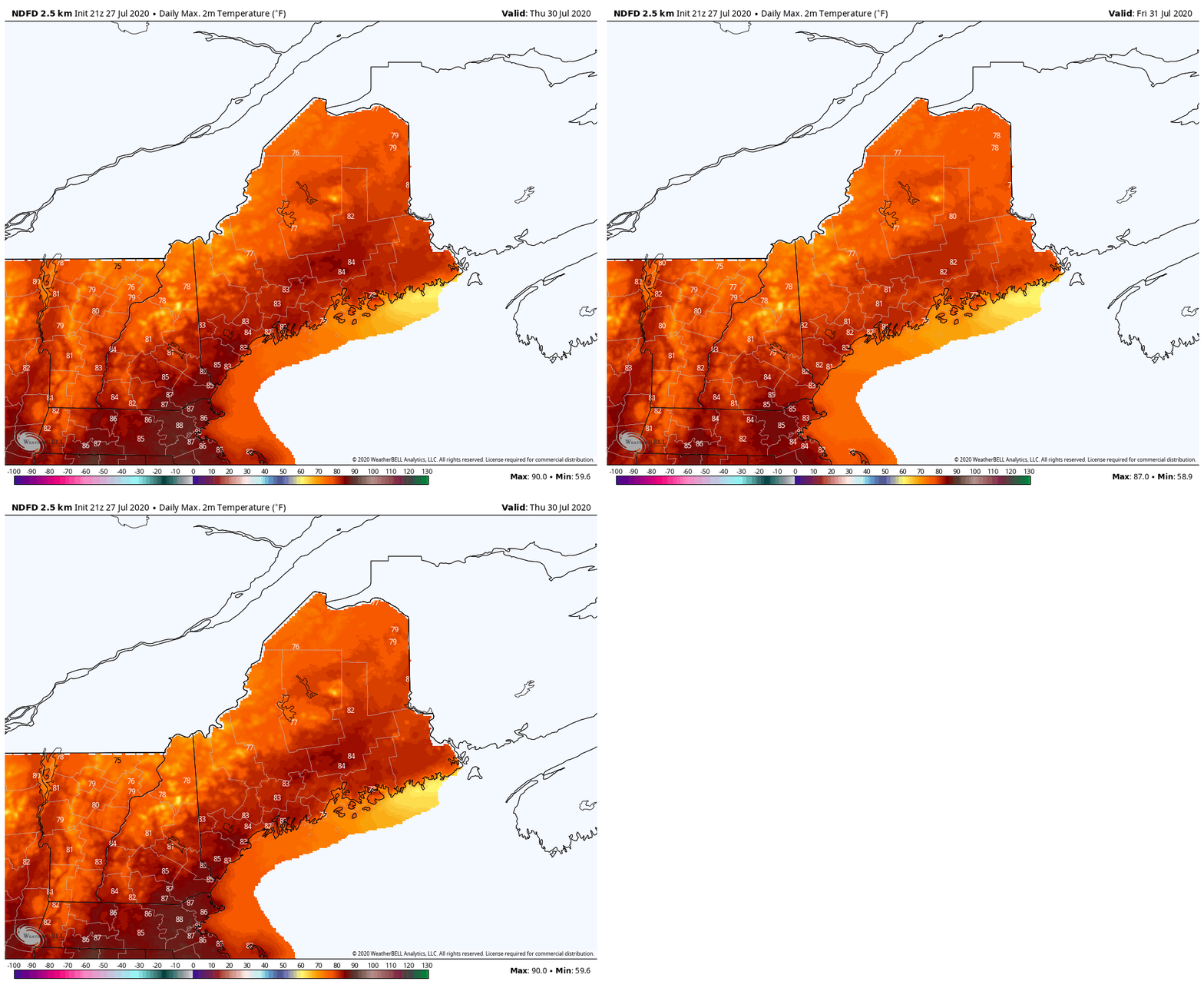
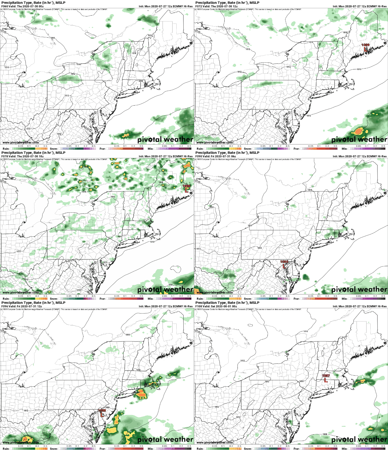
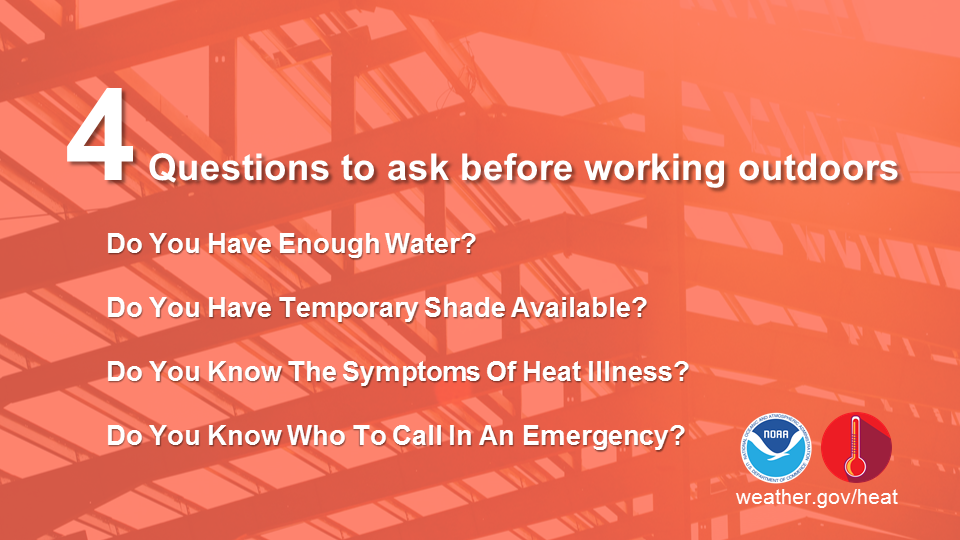
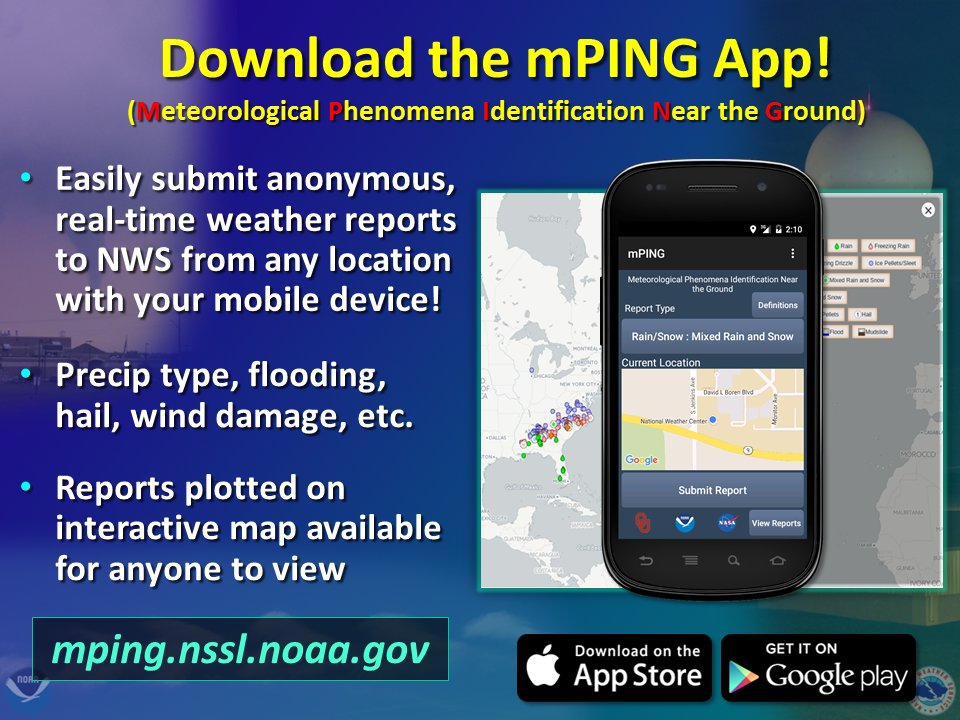
Muggy and stormy TuesdayThe Storm Prediction Center (SPC) has most of eastern Maine in a marginal (1 out of 5) risk, while western Maine is in a general thunderstorm risk. Dew points and temperatures will be generally higher in eastern Maine tomorrow, so when the cold front passes, storms are more likely to form and be stronger in this area. It will be cloudy in the morning hours, so when/how much the clouds clear out will determine if/when storms pop-up and how strong they may be. If the clouds clear out and we're able to get enough sunshine, storms that pop-up will feature gusty winds and localized heavy downpours. It will be another hot and humid day tomorrow with temperatures in the 80s throughout the state with a few isolated 90s in southwestern regions. Dew points will linger in the upper 60s and low 70s, with the higher dew points in eastern regions. If you head outside tomorrow, make sure to stay extra hydrated, as hot and humid conditions can be dangerous. Storms will linger throughout the afternoon hours but will mainly be cleared out by the evening, leaving behind mostly clear skies and some patchy fog overnight. Drier air moves in for Wednesday, but still hot with a chance of stormsThe cold front will leave behind slightly drier air for Wednesday, with dew points getting up to the low/mid 60s throughout the state. Temperatures will still remain fairly warm with temperatures in the 80s. Some scattered showers and storms are possible during the afternoon hours, associated with a developing surface low. Showers will mainly be confined to northern and central regions of the state. Skies will be mostly clear throughout most of the state, with increased cloudiness near the coast. More seasonable for the rest of the week with afternoon stormsTemperatures will be more seasonable for Thursday and Friday, with upper 70s and low 80s throughout the state. It will remain slightly humid, with dew points in the low/mid 60s on Thursday and even dropping into the 50s in some regions on Friday. Afternoon showers and storms will be likely each day, as the system slowly moves out of the region by Friday night. Thursday afternoon is more likely to have storms, because the system is closest during this time, but there's still a decent chance on Friday. It depends on how fast the system moves and makes its way through the region. There is uncertainty with the weekend forecast, but it's looking likely that the threat for afternoon showers diminishes and we have a warm, dry weekend. More on heat safetyAs it remains hot and humid through Tuesday, it's important to remember to ask yourself these questions before you decide to head outdoors. Like I mentioned earlier, high heat and humidity can be a dangerous mix and you can easily become dehydrated or experience symptoms of a heat related illness. If you're going somewhere for the day, try to stay in the shade as much as possible or know an area where shade is available. Also, as I always say, don't forget to check on any elderly family or friends, as they are particularly high risk on days like today and tomorrow. Stay safe everyone! Help forecast verification, and stay informed!
For more information, please follow Pine Tree Weather on Facebook and Twitter.
Thank you for supporting this community based weather information source that is funded by your financial contributions. Stay updated, stay on alert, and stay safe! Thank you so much for all of your continued support! This is my Venmo if you'd like to contribute: @Alex-Hatfield-7 Make it a great day! - Alex :) |
Mike Haggett
|

