Pine Tree Weather
  • DISCUSSIONS
  • DONATE
  • MAPS
  • NWS BRIEFINGS
  • SATRAD
  • MARINE
  • SNOW / ICE OUTLOOK
  • RAIN OUTLOOK
  • CPC OUTLOOK
  • Kennebunk
  • OBSERVING WEATHER
  • Who We Are
  • My Photography
  • DISCUSSIONS
  • DONATE
  • MAPS
  • NWS BRIEFINGS
  • SATRAD
  • MARINE
  • SNOW / ICE OUTLOOK
  • RAIN OUTLOOK
  • CPC OUTLOOK
  • Kennebunk
  • OBSERVING WEATHER
  • Who We Are
  • My Photography

New Year's Weekend Update

12/27/2017

Comments


Chance for snow remains in forecast for Saturday

Picture
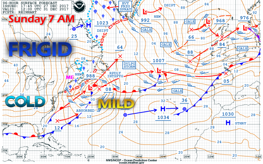
A look at the surface map via Ocean Prediction Center at 7 AM Sunday illustrates two key elements. A departing low that will be rapidly intensifying on its way to Newfoundland, along with a weak frontal boundary from Long Island New York into the Canadian Maritimes.

It will be that front that that will dictate just how close that low comes to Maine.  It's a good bet that that the Mid-Atlantic and Southern New England will get some plowable snow. The precipitation shield lurks very close to the Maine shorelines.

As that weak front drops through the region Friday night into Saturday, I expect it to bring snow showers with it, primarily in the north and mountains. As moisture tapped that it is and with the region being in a bone dry air mass, it may only amount to flurries and isolated squalls.

I am keeping the chance for snow showers in the forecast for the south and east due to the proximity of the low to the coast. Be advised that any slow down of that weak front may bring steadier snow for the coast. For now, it does not appear that way, but I refuse to dismiss any snow activity just yet.  At the very least, clouds will be more prevalent, but that weak front will reinforce the frigid cold already in place. 

Cold to linger through the first week of January at least

Picture
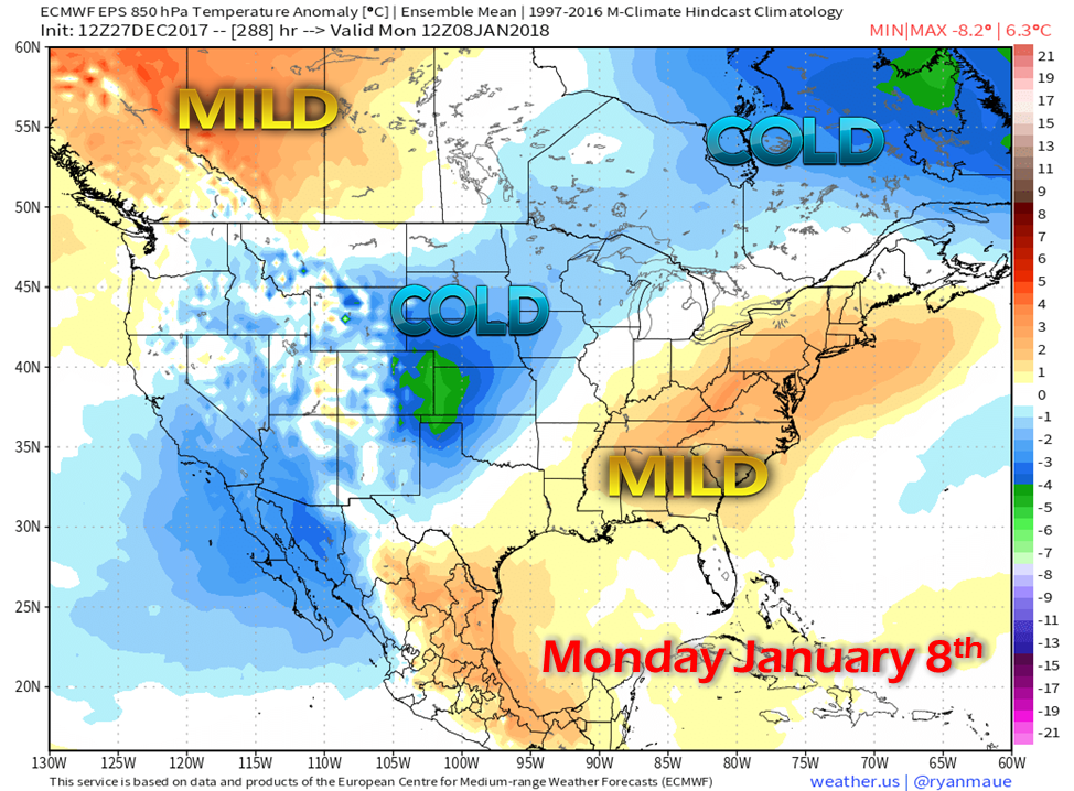
Take this idea with a grain of rock salt for now, but there may be light at the end of the cold roughly around the first full weekend in January.  Given the cold, their may be a storm involved to tip the scale to a more seasonable or slightly above normal period to break the snap.  Outside of Saturday, the region appears to remain in a frigid, dry pattern for the remainder of the New Year's weekend and into the following week. 

The 5-Day Outlook page has been updated through New Year's Day.

​- Mike 
Comments
    Picture

    Mike Haggett
    Kennebunk, ME

    Certified Weather
    Forecaster
    Penn State '21

    American Meteorological Society

    National Weather Association

    Weather-Ready Nation 
    Ambassador
    ​
    ​SKYWARN-CWOP

    Matthew 19:26


    Support
    Pine Tree Weather

    DONATE

    Picture

    Picture

    Picture

    Picture

    Picture

    Picture

    Picture

    Picture

    Picture

    Picture

    Archives

    January 2023
    December 2022
    November 2022
    October 2022
    September 2022
    August 2022
    July 2022
    June 2022
    May 2022
    April 2022
    March 2022
    February 2022
    January 2022
    December 2021
    November 2021
    October 2021
    September 2021
    August 2021
    July 2021
    June 2021
    May 2021
    April 2021
    March 2021
    February 2021
    January 2021
    December 2020
    November 2020
    October 2020
    September 2020
    August 2020
    July 2020
    June 2020
    May 2020
    April 2020
    March 2020
    February 2020
    January 2020
    December 2019
    November 2019
    October 2019
    September 2019
    August 2019
    July 2019
    June 2019
    May 2019
    April 2019
    March 2019
    February 2019
    January 2019
    December 2018
    November 2018
    October 2018
    September 2018
    August 2018
    July 2018
    June 2018
    May 2018
    April 2018
    March 2018
    February 2018
    January 2018
    December 2017
    November 2017
    October 2017

    RSS Feed

Proudly powered by Weebly