|
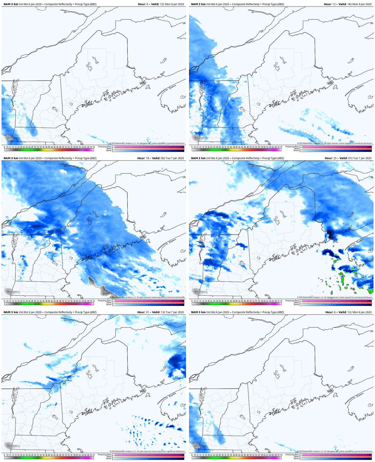
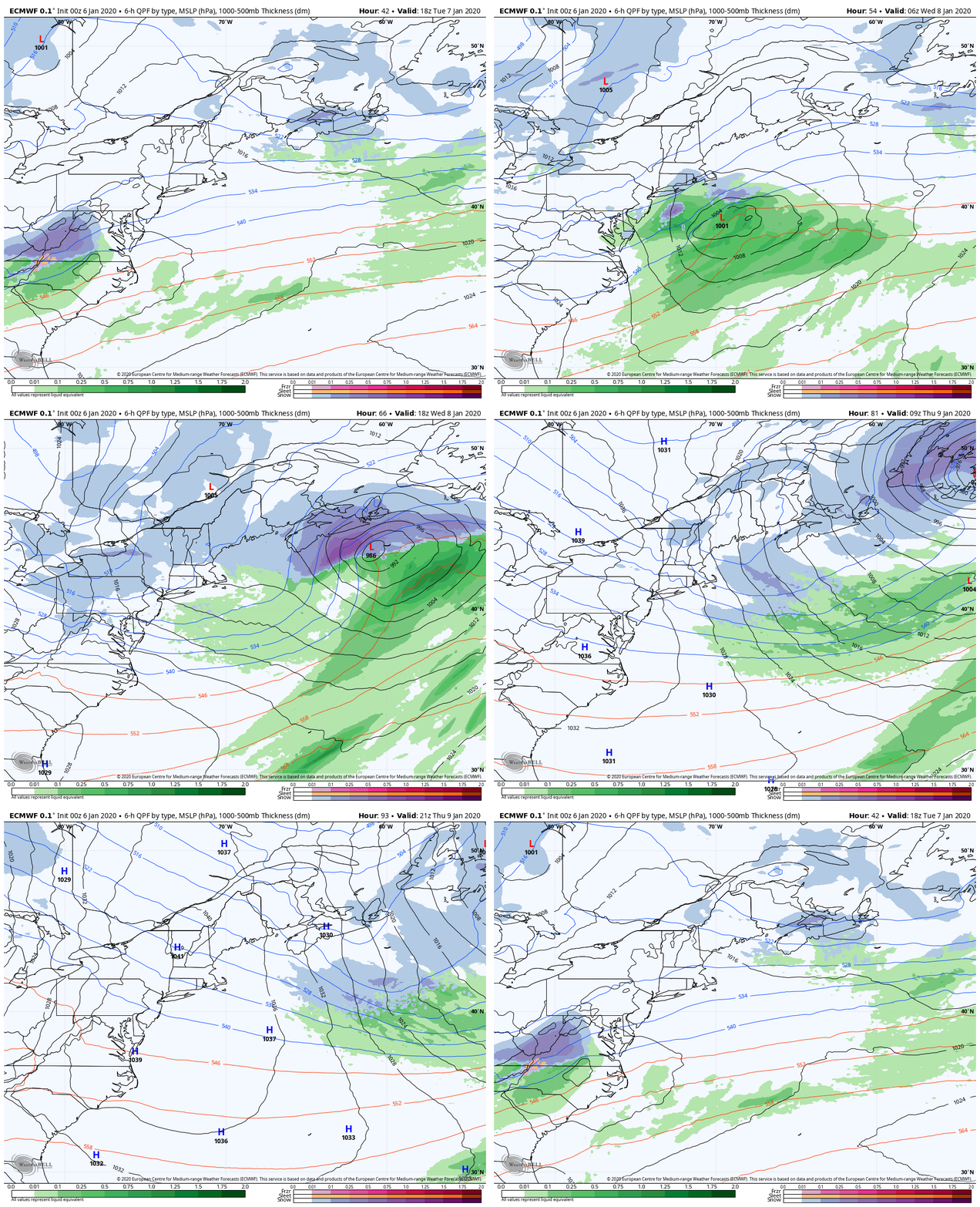
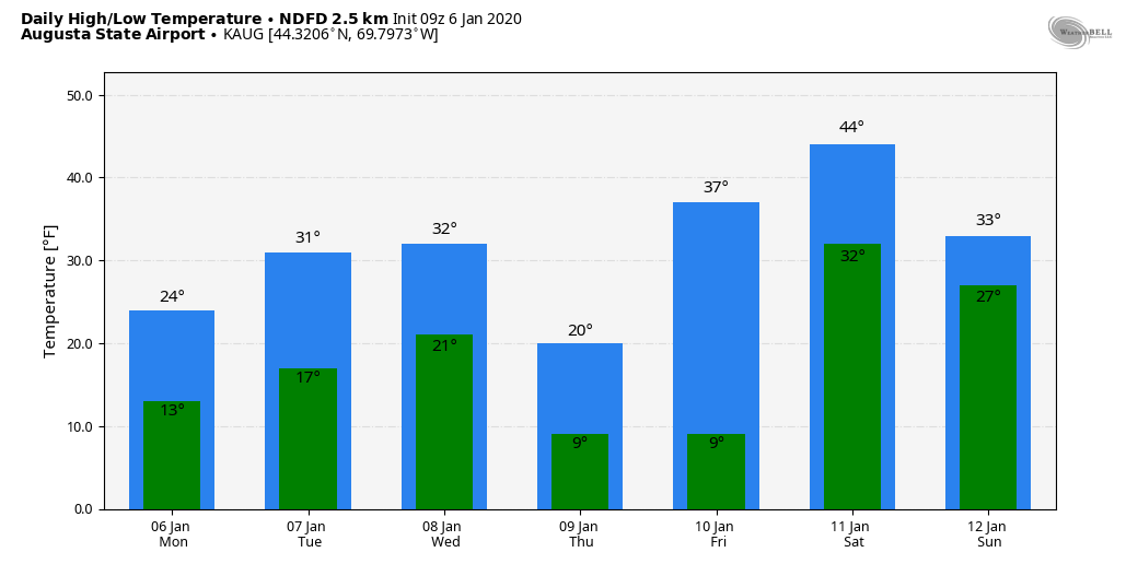
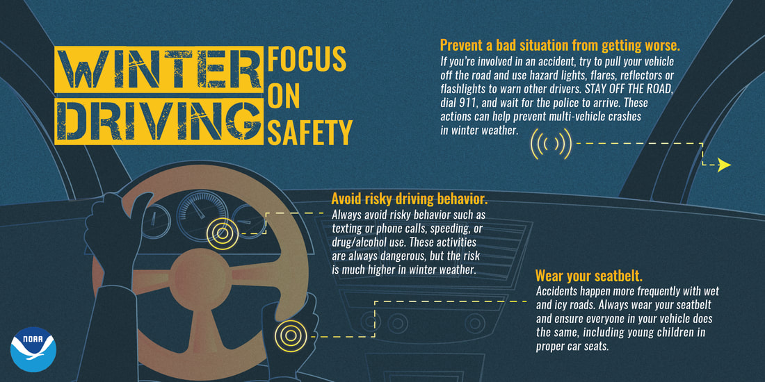
I want to thank everyone again for their messages and comments of concern and prayers for me as I have dealt with a stomach virus since New Year's Day. I am doing much better now. This was a rough one, as it took three days to pass. I've had plenty of rest, which I needed more than I thought. I have a busy stretch coming up here doing day job tasks to start the year, and then prepare for the American Meteorological Society conference in Boston starting Sunday through Wednesday of next week. First round of snow showers on MondayThe first of two nuisance snow events starts Monday as a weak area of low pressure slides through the region. Snow showers appear to affect the evening commute over southern and western areas, so there is potential there for greasy conditions and slow travel through the early evening. Snow passes through northern and eastern Maine this evening ending around midnight. Snow showers start the day in the mountains on Tuesday. Accumulations from a coating to 1" are possible statewide, with a bonus inch or two possible for the ski hills through Tuesday morning. Next round on WednesdayAt one point models had this storm potentially being a significant one, and it will be for Atlantic Canada and not Maine. An inverted trough appears to set up and bring snow showers to the state Wednesday, ending from west to east Wednesday afternoon into Thursday morning. Accumulations of a coating to 1" is again the general rule with this one, with the potential for 2-3" for the mountains and DownEast areas. Temperature outlook through the weekendOutside of chilly temperatures on Monday and Friday, temperatures appear to run above normal through the weekend. Normal temperatures for this period is around 28° for a high and 12° for a low for the Augusta airport. Expect wind to increase on Wednesday as the storm that passes to the southeast begins to crank up and drags cold air in from Quebec. Wind chills Thursday morning could be below zero in most locations, with -20° to -10° possible for the mountains and north. Stay on alert during light snow events► ► For the latest official forecasts, bulletins and advisories, please check in with the National Weather Service in Gray for western and southern areas, or Caribou for northern and eastern parts of Maine. So close to the finish line► ► $85 shortfall for the year ahead! You can help keep Pine Tree Weather going with a donation of ANY amount now through VENMO @PineTreeWeather, a monthly donation on Patreon or messaging me on Facebook or Twitter to send a check in the mail. Thank you for your support!
For more information from me, please check the Pine Tree Weather Facebook page as well as my Twitter feed. Always stay weather aware! - Mike |
Mike Haggett
|

