
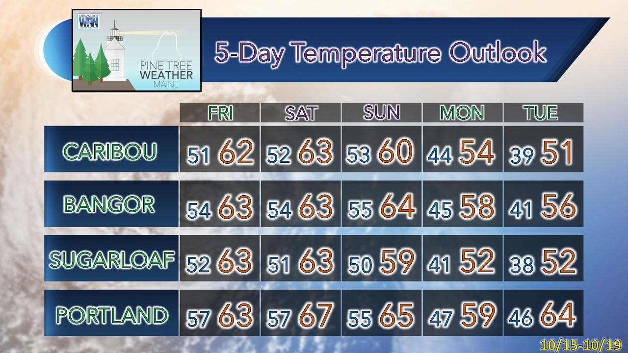
The last day of 70s for a while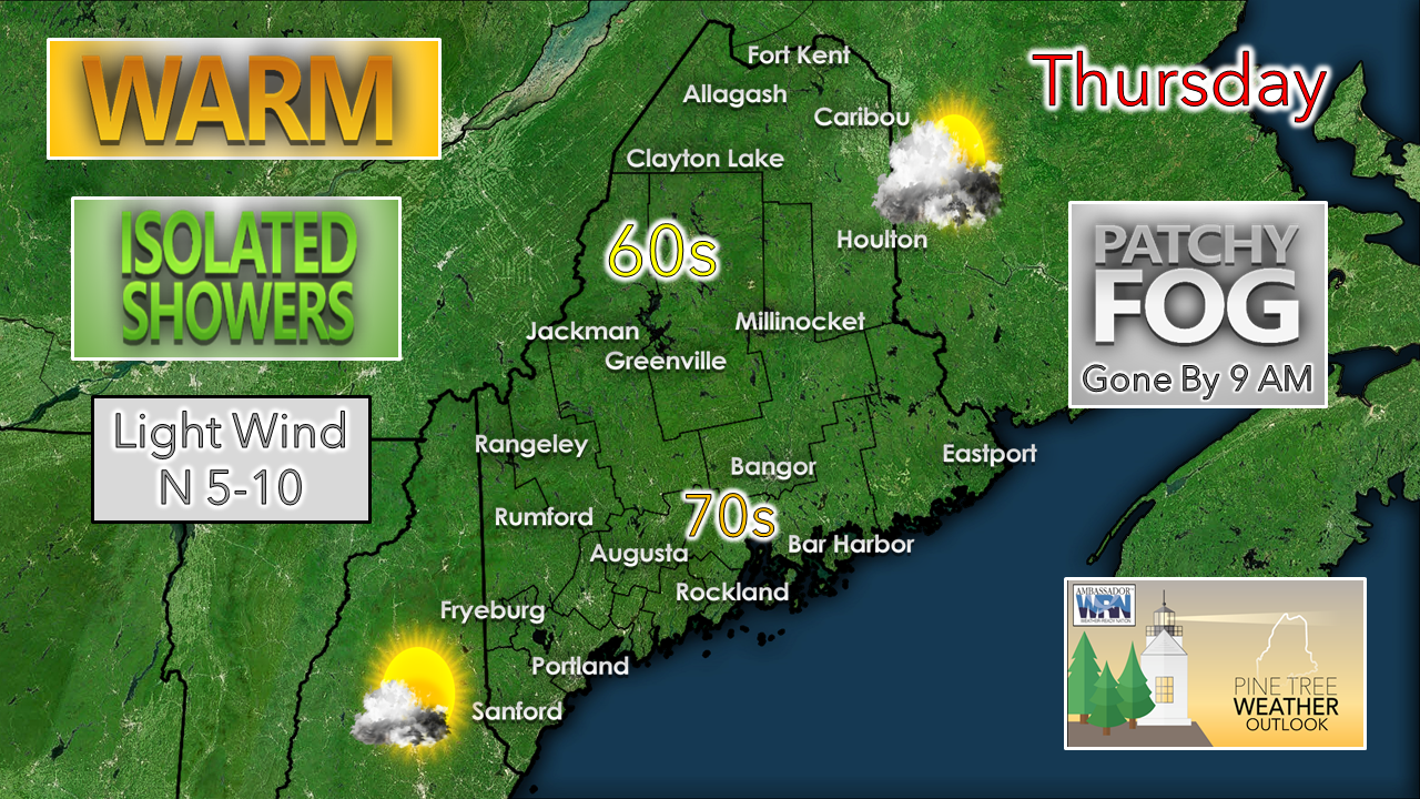 Thursday starts off with a few clouds around and some patchy fog in areas. Clouds appear to be on the increase during the day as warm air moves in aloft, which will keep temperatures cooler over interior areas. The further inland, the more clouds are likely for the day. 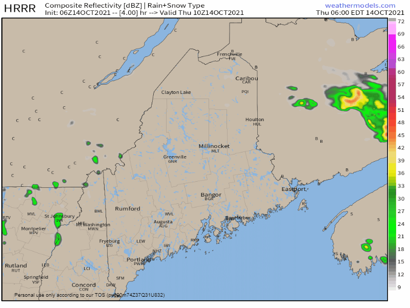 Thursday 6 AM - Friday Midnight: A weak cold front drops south over northern and eastern areas while a weak disturbance rides along an upper ridge to the west. The result is a few isolated spot showers / sprinkles across the state through the day and into the night. Scattered light showers for Friday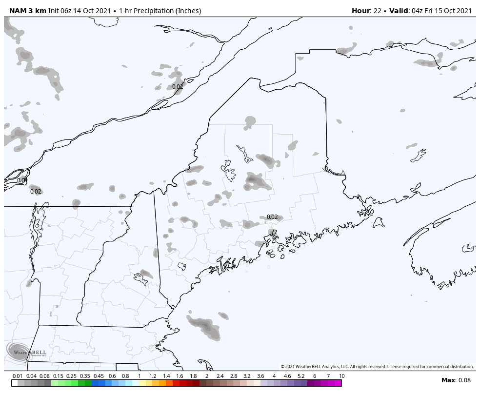 Friday Midnight to 8 PM: A warm front sets up just to the west. A weak disturbance rides along it, which brings the chance for light showers and sprinkles across much of the region during the day. Steady rain arrives Saturday night into early Sunday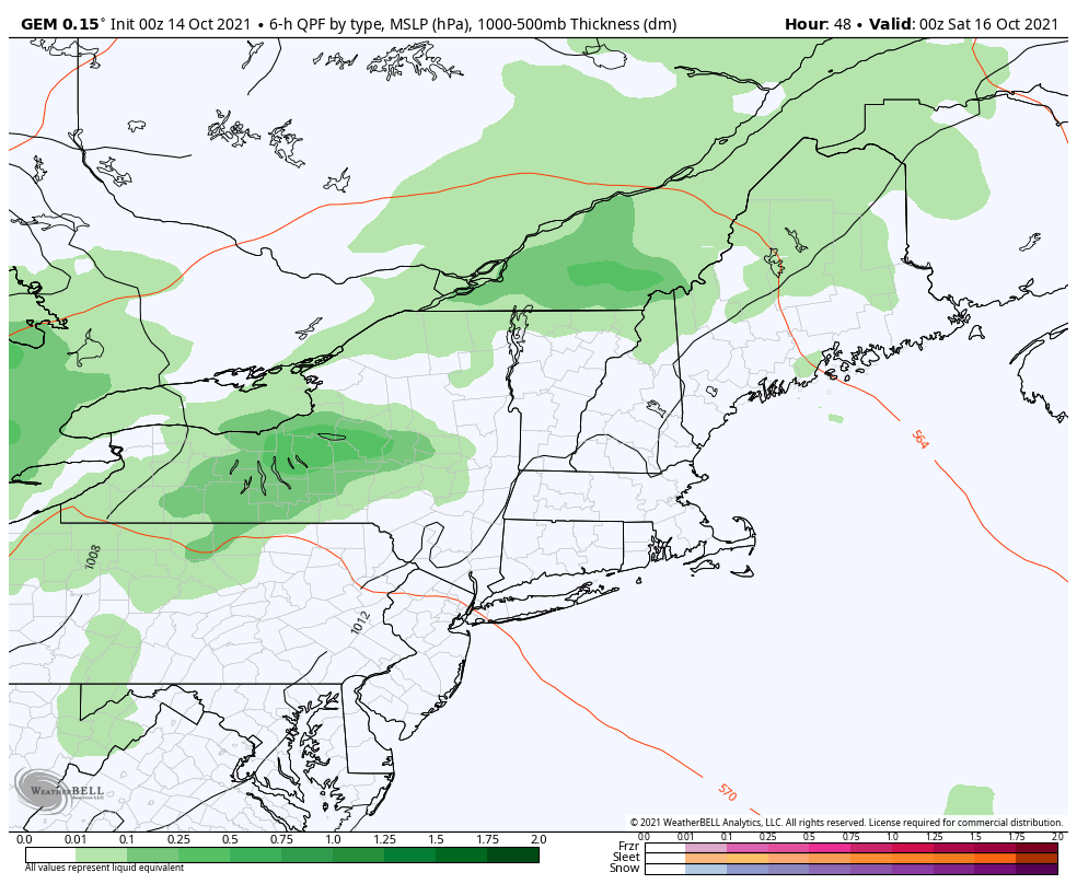 Friday 8 PM - Sunday 8 PM: An area of low pressure intensifies over the Great Lakes and heads into northern Quebec, while dragging a cold front through the region. Showers are possible at times on Saturday for western, northern, and eastern areas, with a low chance for southern areas. The front pushes through Saturday night into early Sunday where rain, which could be heavy at times, is expected across the entire state. An upper low precedes the passing front, which moves into the region on Sunday, and brings the chance for spot showers through the start of the week. Expect breezy conditions starting Saturday, which will continue through early next week, and cause widespread leaf drop, ending what has been an amazing foliage season. 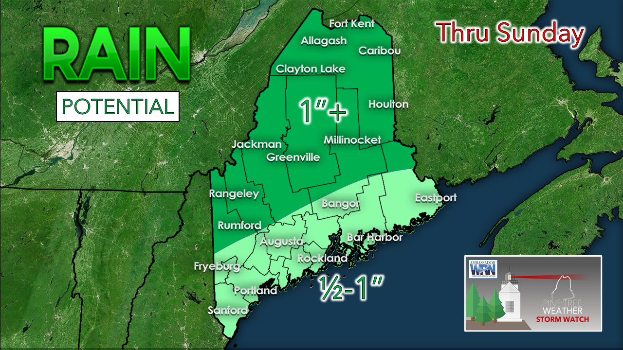 Rain amounts across the area favor the areas that need it the most. The north and mountains can expect the higher amounts from this event, with lesser amounts further south. Current deficit for 2022 - $2,000 |

| | BE PREPARED WITH A NOAA Weather Radio. For $20-$40, it could provide vital information to you when you need it. The weather bands are standard on most public safety scanners, and newer scanner models. Weather radios can be programmed for auto alert. Click here for more information. |
| ► ► For the latest official forecasts, bulletins, and advisories, please check in with the National Weather Service in Gray for western and southern areas, or Caribou for northern and eastern parts of Maine. |  |
Thank you for supporting this community-based weather information source which operates by reader supported financial contributions.
Stay updated, stay on alert, and stay safe!
- Mike

Mike Haggett
Kennebunk, ME
Weather-Ready Nation
Ambassador
Certified Weather
Forecaster
Penn State '21
American Meteorological Society
National Weather Association
SKYWARN-CWOP
Matthew 19:26
Please
Support
Pine Tree Weather
In 2024


Archives
July 2024
June 2024
May 2024
April 2024
March 2024
February 2024
January 2024
December 2023
November 2023
October 2023
September 2023
August 2023
July 2023
June 2023
May 2023
April 2023
March 2023
February 2023
January 2023
December 2022
November 2022
October 2022
September 2022
August 2022
July 2022
June 2022
May 2022
April 2022
March 2022
February 2022
January 2022
December 2021
November 2021
October 2021
September 2021
August 2021
July 2021
June 2021
May 2021
April 2021
March 2021
February 2021
January 2021
December 2020
November 2020
October 2020
September 2020
August 2020
July 2020
June 2020
May 2020
April 2020
March 2020
February 2020
January 2020
December 2019
November 2019
October 2019
September 2019
August 2019
July 2019
June 2019
May 2019
April 2019
March 2019
February 2019
January 2019
December 2018
November 2018
October 2018
September 2018
August 2018
July 2018
June 2018
May 2018
April 2018
March 2018
February 2018
January 2018
December 2017
November 2017
October 2017