
Showers return everywhere Saturday night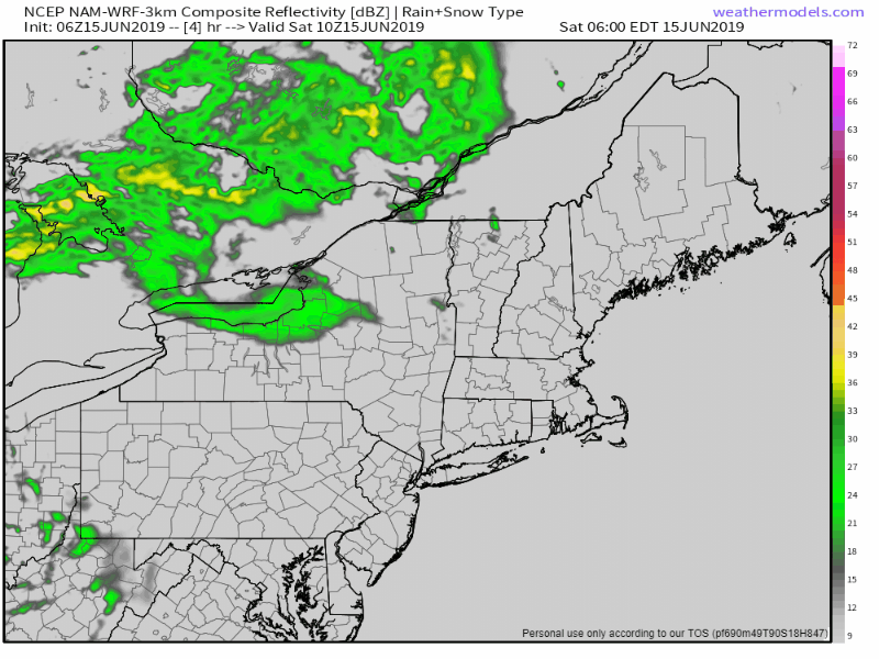 A cold front will approach the region this afternoon which will increase clouds and bring showers to northern areas this afternoon, then a chance everywhere overnight into early Sunday. The front appears to stall over southern New England Sunday. An area of low pressure travels along it, and will bring a chance of showers for southern areas of Maine Sunday afternoon. The shower activity ends by around dawn on Monday. 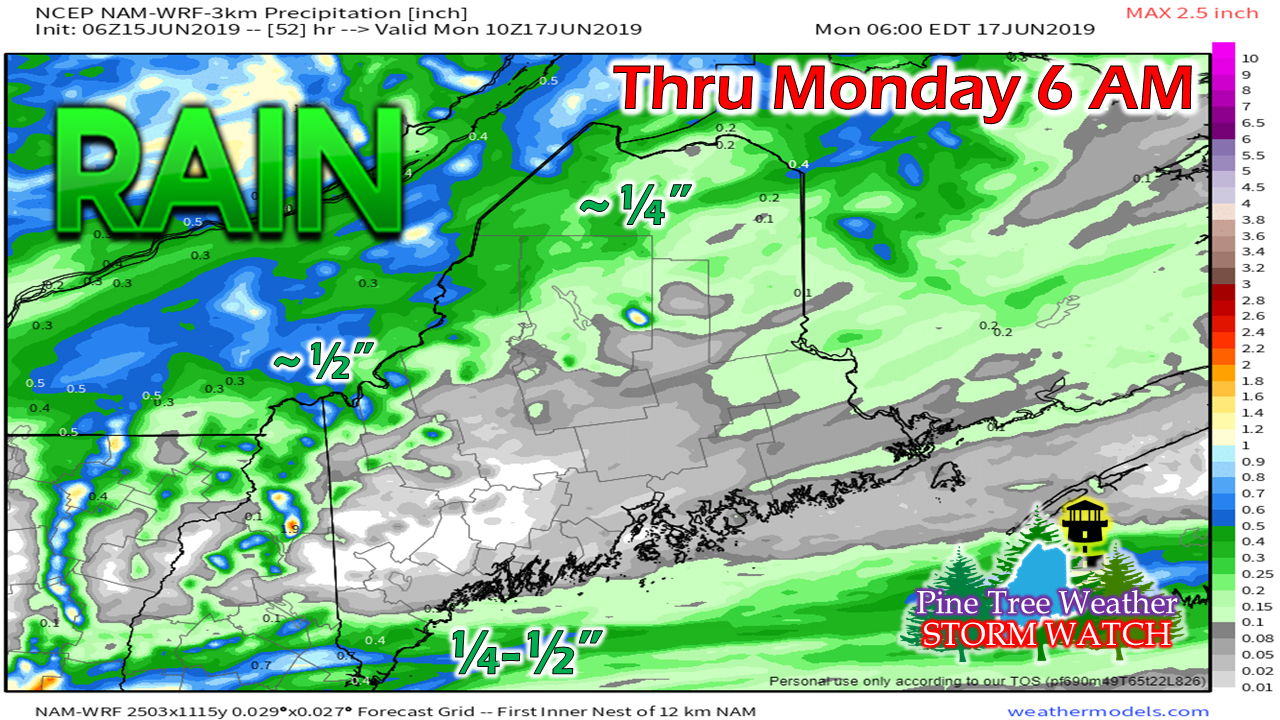 The north and mountains receive their rainfall Saturday afternoon through early Sunday. Southern areas get most of theirs Sunday into early Monday. Late week thunder potential The stalled front isn't expected to go too far through the first half of the work week. Another area of low pressure rides along the boundary and appears to bring another round of rain for southern areas Tuesday. The ridge below the boundary noses northeastward Wednesday into Thursday, and as it does will increase chances for showers and thunderstorms Thursday into Friday.
Folks camping and hiking later this week would be wise to stay updated on the forecast. Temperatures through the period will generally be in the 50s at night and 70s during the day, with shorelines the cooler areas when onshore wind is present. Next weekend appears dry with comfortable temperatures for now. Enjoy the weekend! ► ► For the latest official forecasts, bulletins and advisories, please check in with the National Weather Service in Gray for western and southern areas, or Caribou for northern and eastern parts of Maine. Please consider supporting Pine Tree Weather ► ► Your financial donations are much appreciated to keep this site funded and for further development. I sincerely appreciate your support not only financially, but also in sharing my efforts with others. For more information from me, please check the Pine Tree Weather Facebook page as well as my Twitter feed. Always stay weather aware! - Mike |

Mike Haggett
|


