
|
I mentioned on Facebook Sunday that this storm in the pipeline for Friday could be significant. That idea hasn't changed. For those waiting to get power back in the hard hit areas from last weekends storm, I am sure that the prospects of this storm are unnerving, if not alarming, with the Christmas holiday fast approaching. The good news is line crews will have three more days to go to try to get power back on to those who lost it. Resources from other power companies have been brought in to assist. Hopefully everyone gets back online by Friday. Then the game turns to how long it stays online. 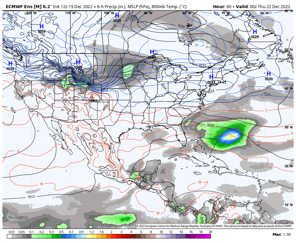 Wednesday 7 PM to Saturday 7 PM - The main idea continues to be consistent. Arctic air that has been bottled up in Siberia uncorks and moves southeast. The cold blast runs up against a ridge surging northeastward and a storm rapidly develops near the Great Lakes and tracks towards Hudson Bay, and spins a cold front through Maine Friday into early Saturday. Precipitation at this point appears to start off as a snow, sleet and/or freezing rain mix for the mountains and rain to the south. High pressure to the northeast brings cold air damming into the forecast early on, but with the rapid intensification of the low with the strong high surging in from the west, the high to the northeast is likely to get bullied out to the east. How long what falls as frozen or semi-frozen is still to be determined. The backside of this arctic front brings the potential for flash freezing and perhaps some snow showers as parting gifts. Rain ideas continue to run in the 2-5" range, with the highest amounts likely for the mountains. Rapid snowmelt along with the heavy rain is likely to cause flooding of brooks, streams, rivers, roadways and basements. Many areas have 2-4" of liquid in frozen form. If all of that would melt, that turns this event into a 4-9" rain event. Not all of it will, but there is a lot of water that will run here.. With the ground frozen, expect the rivers and tributaries to fill up quickly. With the big chill running in behind the front, all of this water is likely to freeze up and turn the state into a skating rink. Wind ideas continue to be strong. For now I am going with wind gusts of 40-60 mph, with the highest gusts for the mountains and shorelines. These high wind speeds could go on for several hours. There appears the possibility of widespread power outages pending on the duration of the high wind gusts. The idea of at least some folks being dark for Christmas is a distinct possibility. The shorelines are likely to get hammered. Ideas of seas 15-20', potential for 1-3 feet of storm surge, and astronomical high tides. The tides of concern are around the 10 AM hour on Friday morning, 11 PM Friday night. The daytime high tide is the higher of the two. Timing of the wind will be critical as to how bad it could get. For now, coastal flooding from the surf and surge appears likely, perhaps some inundation in low lying areas, along with beach erosion. I wish I had better news here, but this one looks like a doozy. This one will be much easier to shovel, but it will come at a price. Do yourself a favor and prepare now. My next update comes Tuesday afternoon. - Mike NOTE: The forecast information depicted on this platform is for general information purposes only for the public and is not designed or intended for commercial use. For those seeking pinpoint weather information for business operations, you should use a private sector source. For information about where to find commercial forecasters to assist your business, please message me and I will be happy to help you. |

Mike Haggett
|


