A showery day for much of the western half of the state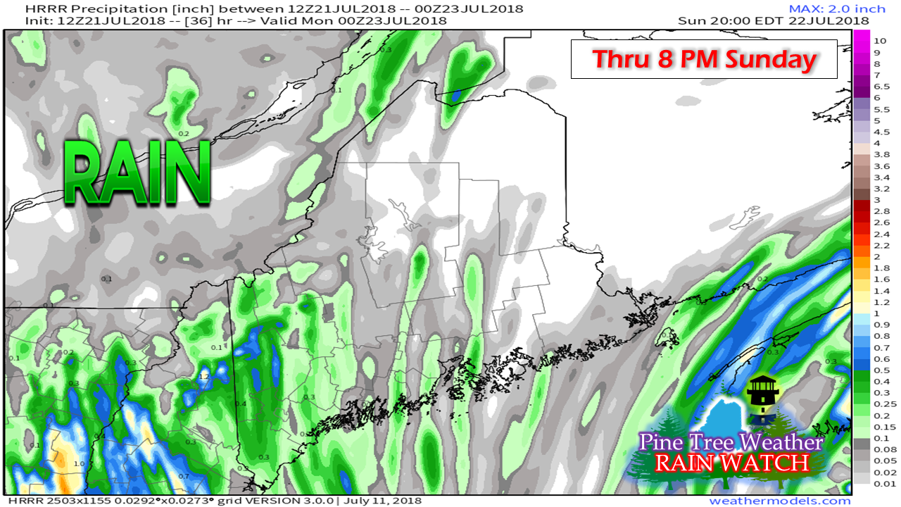 The first of several days of unsettled weather begins Saturday night and will carry into Sunday. With the approaching storm, humidity will also be on the increase. It appears to be a sticky week with more chances for showers and storms as the week unfolds. Sunday won't be a total loss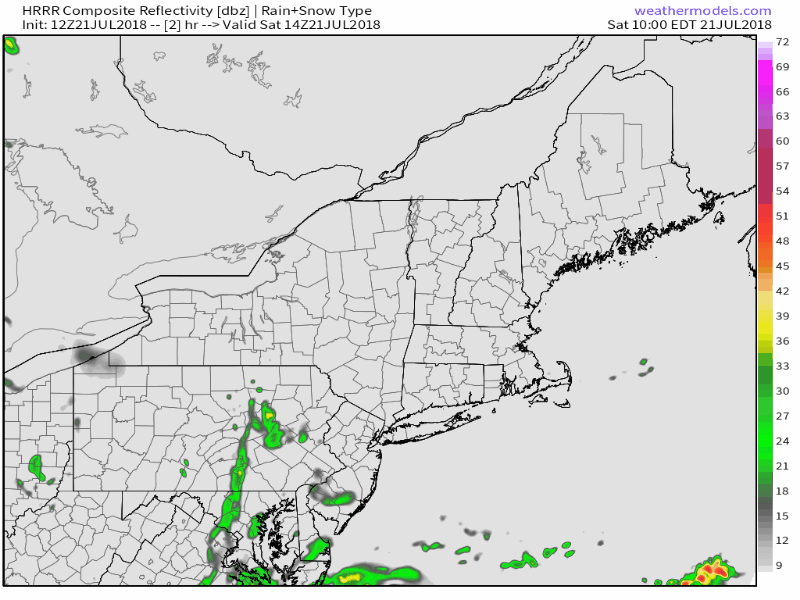 High pressure from the east appears to push the storm westward toward the Great Lakes, which will keep most of the eastern half of the state relatively dry outside of a chance shower or pop up storm. Since the state will be on fringe of storm track, any sky clearance for sunshine brings the threat for thunderstorms to develop. While the severe threat is low, it cannot be ruled out. Frequent lightning, gusty winds, and downpours are all possible. Models are also indicating some spin in the mid to low level of the atmosphere. Chances for tornado activity are very low, but are possible. Humid air mass means strong to severe |

Mike Haggett
|