
Sunday a bit cool, but dry August is in the books. Not only is that the close to the month, but it also closes meteorological summer. Cue up the Earth, Wind and Fire, we have reached September. The first day of the month and meteorological fall will be a cool one, with mainly 60s for highs. Clouds increase this afternoon into tonight as a frontal boundary approaches from the west. Showers move in Monday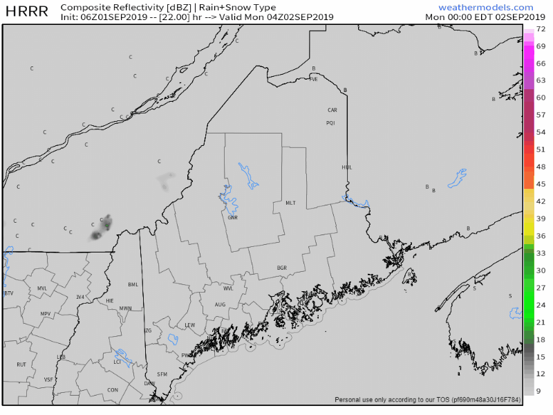 Timing appears for showers to develop over western and southern area in the morning, then move in over southern and eastern areas after noon. DownEast areas hold off on showers the longest, with rain arriving there late afternoon. Showers end from west to east Monday night into the wee hours of Tuesday, with any remaining showers exiting DownEast by mid-morning. 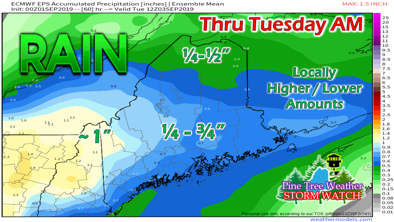 The Rangeley Lakes region appears to pick up the most rainfall, with roughly an inch possible there. The County appears to get the least from this, with a quarter to a half inch or less. For most areas, roughly a half inch is a safe bet. Looking ahead, the region may get another soaker on Wednesday, similar in amounts in a similar event last week. Stay tuned for more on that. Dorian is one to keep tabs on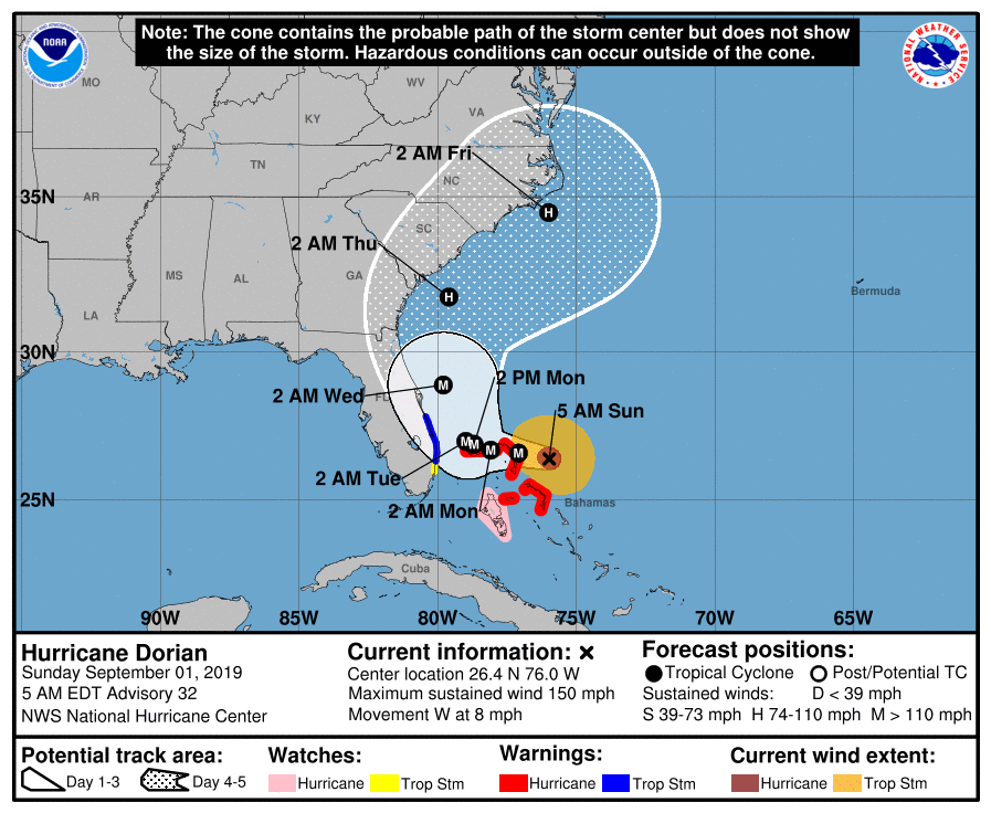 Dorian will be talked about for another week. It is slowly moving through the Bahamas and then appears to shave the southeast coast over the week before moving northeast later in the week. 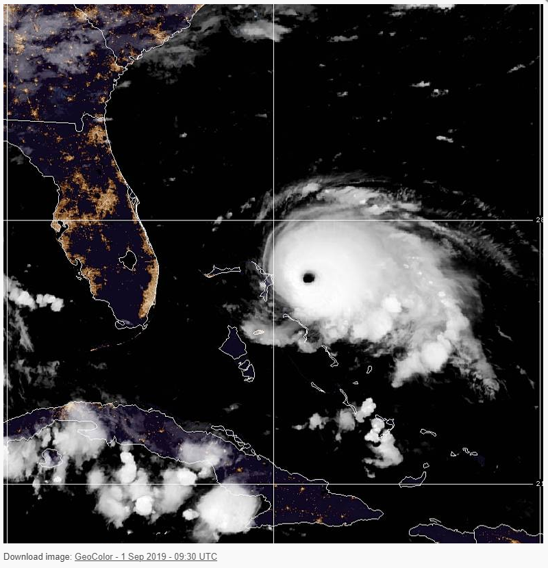 As of 5 AM Sunday, the major CAT4 hurricane was 255 miles east of West Palm Beach, Florida. The storm central pressure was at 934 mb / 27.38" with sustained gusts of 150 mph, moving west at 8 mph. Slow moving storms of this magnitude will hammer coastlines with battering waves, storm surge and damaging wind. Regardless if it makes landfall or not, the projected track is close enough to cause dangerous conditions for days as it slowly works along the shorelines of Florida, Georgia and South Carolina before accelerating northeast late week. 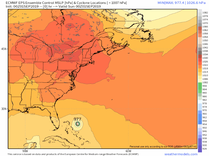 As far as New England goes, we'll certainly have to keep watch on the storm. Guidance appears to be in agreement that the storm will latch onto an approaching cold front late week. For now, the idea keeps the storm out to sea, with perhaps giving Cape Cod & Islands a glancing blow as it heads to Atlantic Canada. Timing of the frontal boundary and the connection will be the key, and it is too early to know just yet how this will play out.
As always, stay in touch with the National Hurricane Center for the latest on this storm. ► ► For the latest official forecasts, bulletins and advisories, please check in with the National Weather Service in Gray for western and southern areas, or Caribou for northern and eastern parts of Maine. Please consider supporting Pine Tree Weather ► ► Your financial donations are much appreciated to keep this site funded and for further development. FUNDRAISING FOR 2020 BEGINS SOON! I sincerely appreciate your support not only financially, but also in sharing my efforts with others. For more information from me, please check the Pine Tree Weather Facebook page as well as my Twitter feed. Always stay weather aware! - Mike |

Mike Haggett
|


