
A soggy couple of days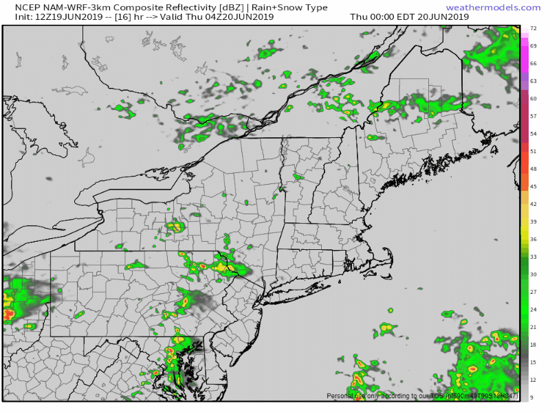 A cold front slowly moves through the region Thursday into Friday. Rain will be heavy at times Thursday night into Friday. Humidity will increase for the coastal plain as dew points rise into the mid-60s ahead of the front before it departs Friday evening. 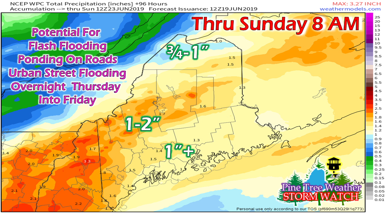 Between the rising humidity and precipitable water values pushing 1½-2", the results will be a general 1" rainfall for most of the state. Some areas could see rain amounts in the 2-3" range by the time all is said and done Friday night. I continue to stress concern for those camping and hiking. Flash flooding is real possibility given the tropical nature of the moisture. Friday morning could be a challenge driving due to heavy rain, ponding on roads, hydroplaning potential on highways, along with urban street flooding. Allow for plenty of extra time to get to where you are going. Regional Outlook through Monday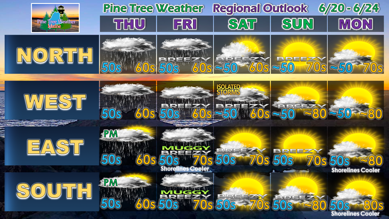 I still can't completely rule out a spot shower or sprinkle for northern and western areas Saturday. With the amount of moisture around, there is a slight chance for an isolated thunderstorm to pop over the western mountains. A northwest breeze will assist the drying process, along with very comfortable dew points through Sunday. Monday brings 80s to a good portion of the region. The next rain event appears Monday night into Tuesday.
► ► For the latest official forecasts, bulletins and advisories, please check in with the National Weather Service in Gray for western and southern areas, or Caribou for northern and eastern parts of Maine. Please consider supporting Pine Tree Weather ► ► Your financial donations are much appreciated to keep this site funded and for further development. I sincerely appreciate your support not only financially, but also in sharing my efforts with others. For more information from me, please check the Pine Tree Weather Facebook page as well as my Twitter feed. Always stay weather aware! - Mike |

Mike Haggett
|


