|
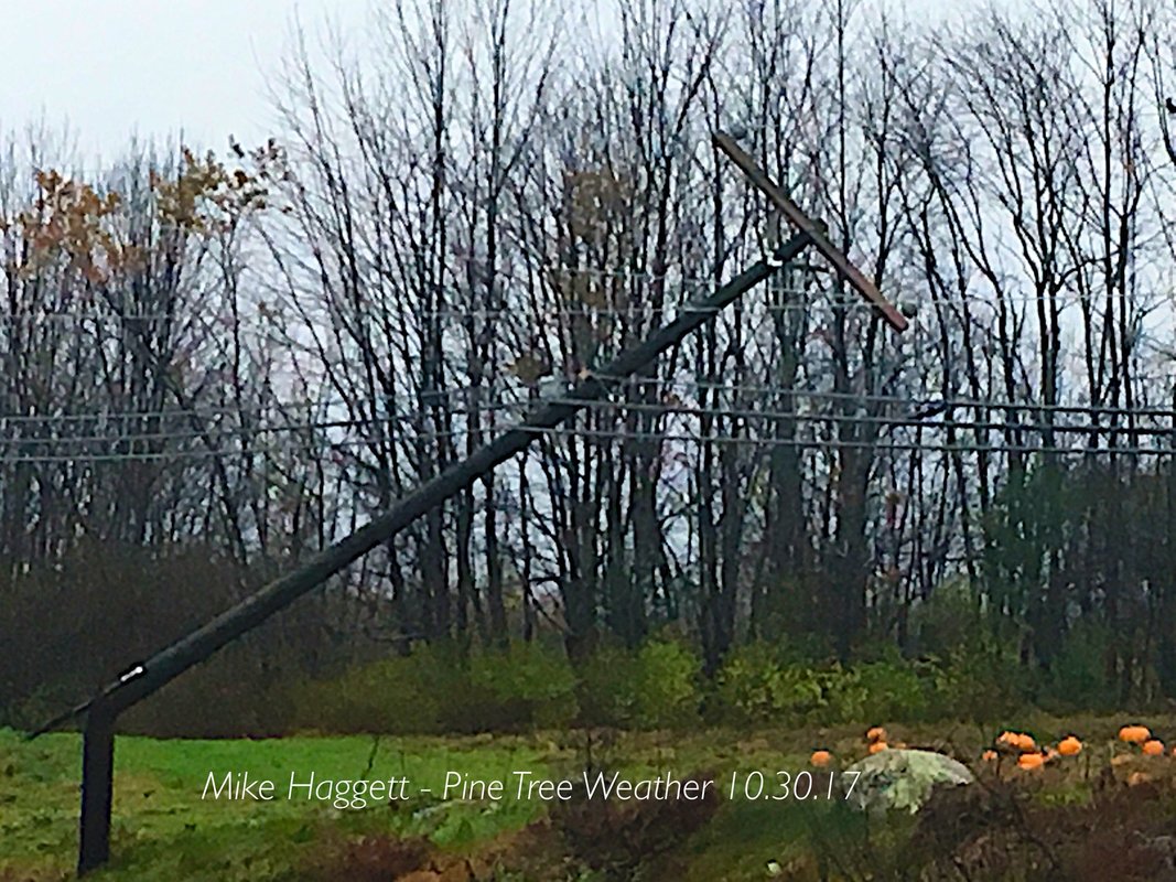
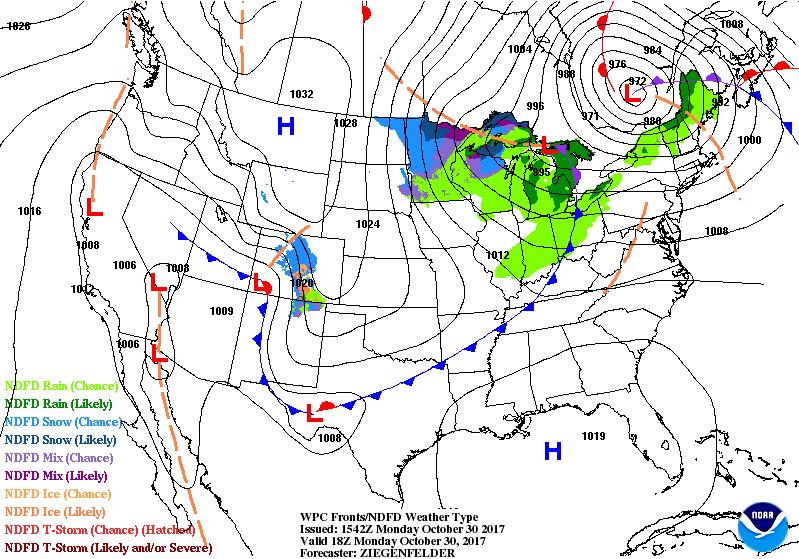
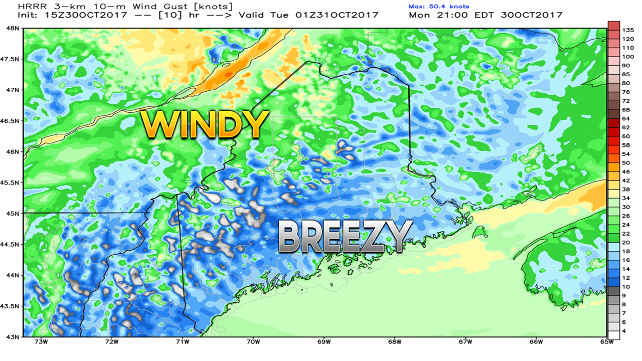
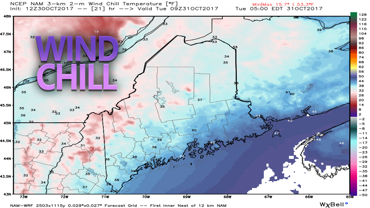
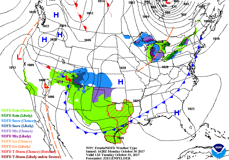
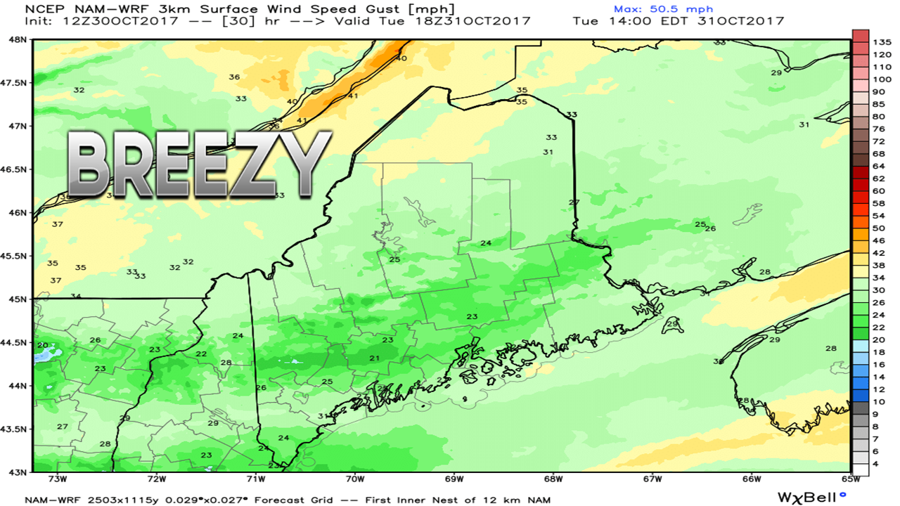
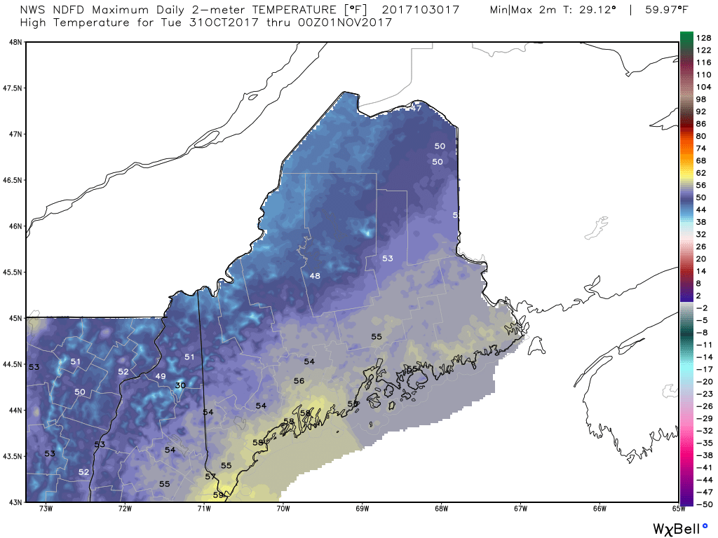
At the time of this post, 480,442 electricity customers are without power across the state. Those affected are looking for answers as to when they will get it back. Given the historic level of outages, it is likely to take days for service to be restored. Most of New England has been severely crippled by this impressive storm. As of early afternoon on Monday, the storm was located over west central Quebec province and heading toward Hudson Bay. A trailing cold front will work through the state in the afternoon, which may bring a few showers, wind gusts in the 40-50 mph range and cold air into evening. Wind gust levels are on track to drop by mid-evening Monday night over much of the state. It will still be rather breezy, however, which may make the recovery effort difficult in parts of the region, more notably the shorelines, mountains and north. With the cold air and the wind, comes the wind chill. Tuesday morning is likely to feature a bit of a snap in the air. Outside of a chance of a sprinkle or a light brief shower or snow flurry in the northern extremes of the mountains and crown, it will be dry day overall. High pressure over the Midwest will start to nose its way into the region, and that will keep the breeze going. A southwest wind flow could bring gusts in the 20-30 mph range at times during the day. High temperatures for the day range in the 40s to low 50s north, and the 50s for the south and east. It may feel a bit on the chilly side due to the breeze. These temperatures are close to the seasonal average, which may feel a bit odd given the abnormally warm fall. By Wednesday morning, the breeze will finally slack off. A weak frontal boundary riding along the St. Lawrence River may bring a sprinkle or a snowflake along the Quebec border early. It should be a mainly sunny day with highs in the 40s north and mountains and 50s south and east.
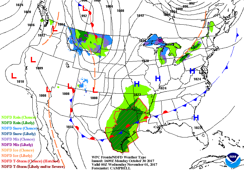
A disturbance to the south appears to merge with low pressure over the Canadian Rockies that will bring a chance for showers Thursday into Friday. The complete 7-Day Outlook with a peek at the weekend is posted in that section of the website. ~ Mike |
Mike Haggett
|

