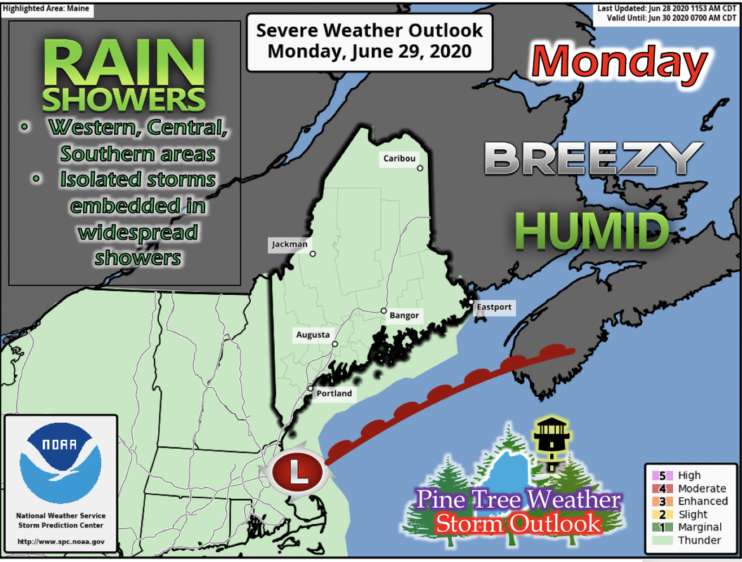
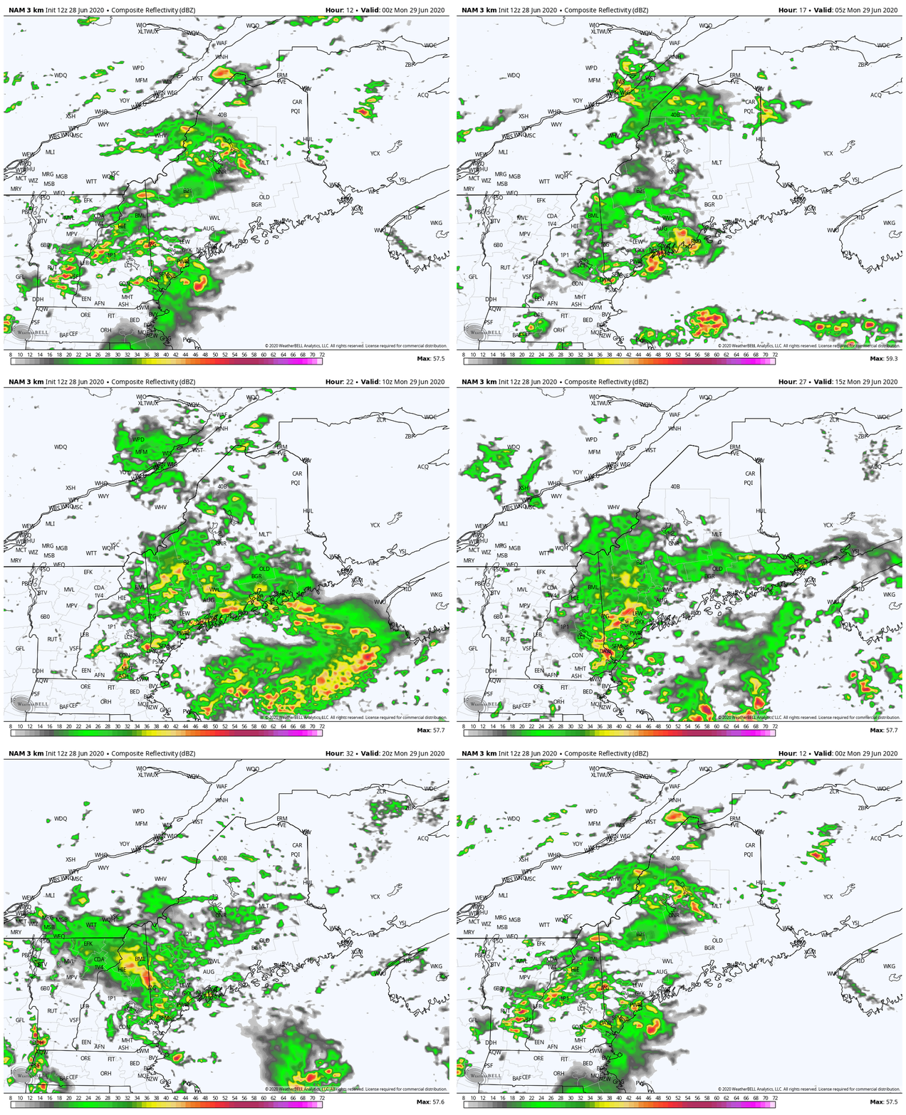
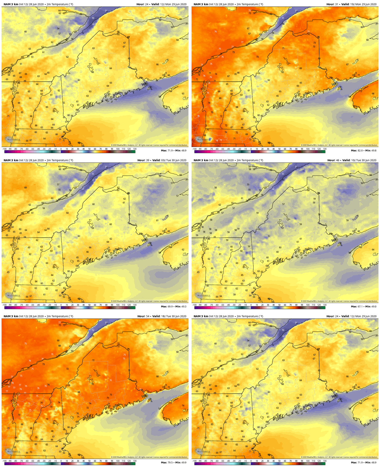
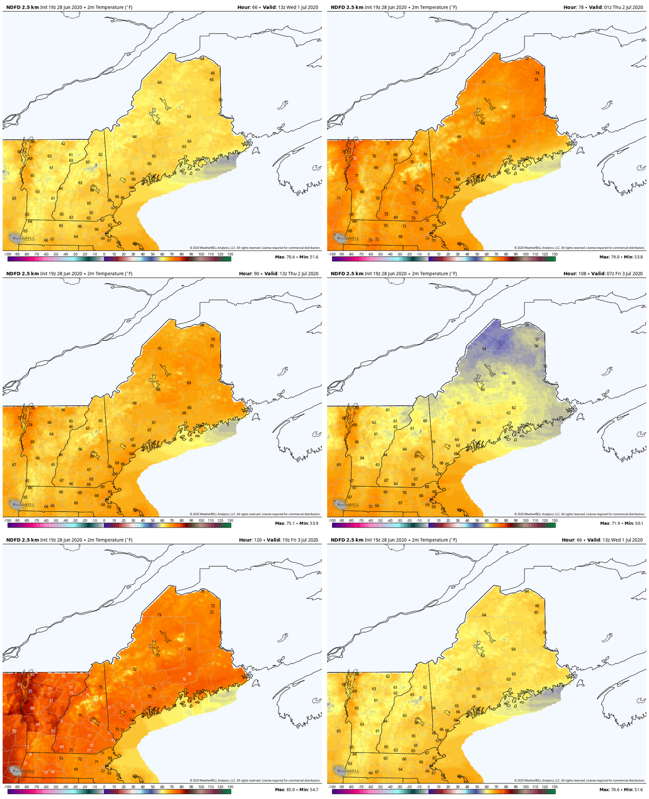
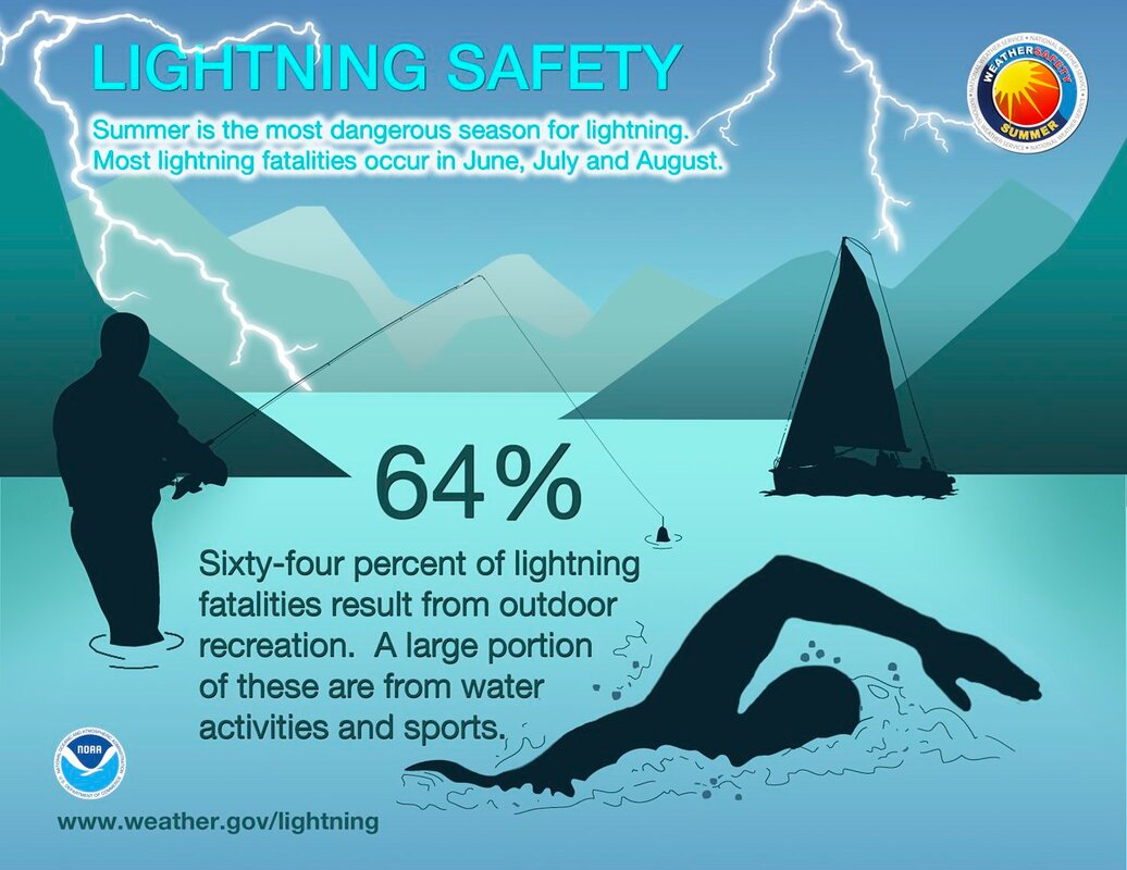
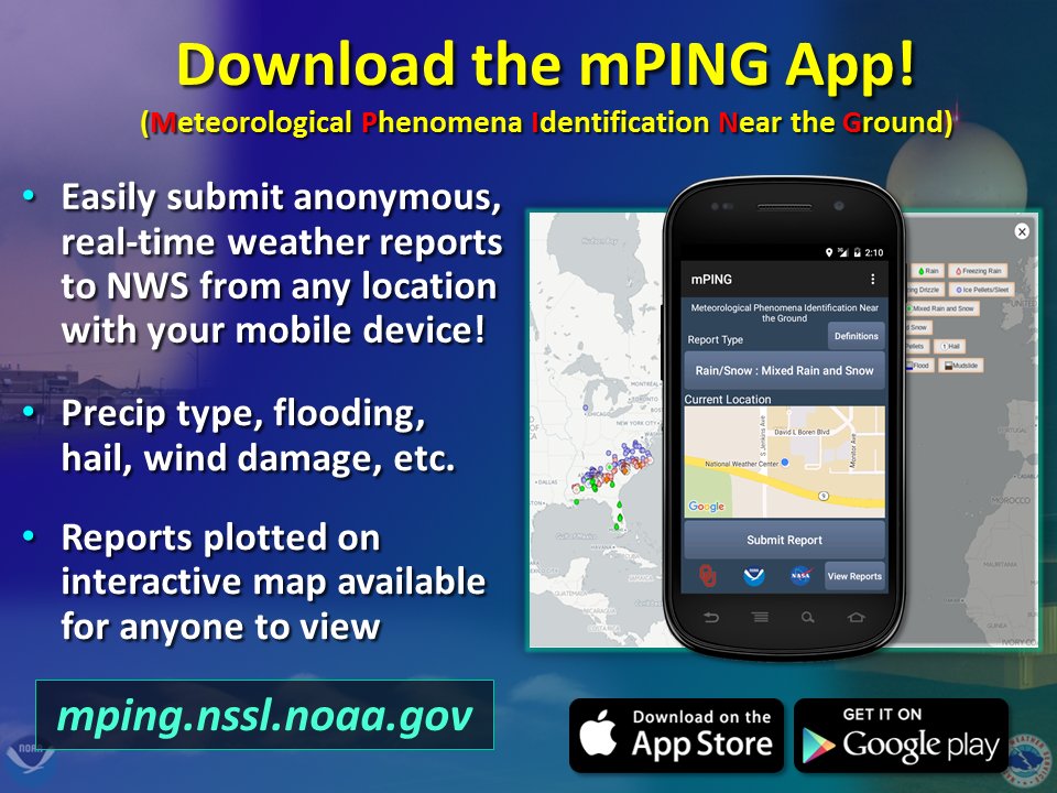
Relieving rainfall Sunday night and into Monday and a slight temperature increase this week6/28/2020 Sunday night into Monday Storm OutlookA low pressure system settles itself south of Maine on Monday. The Storm Prediction Center has put Maine under the "Thunder" category for their Convective Outlook, meaning thunderstorms in the state are likely or possible for Maine. It'll also be a little breezy with northeast winds ranging from 8 to 14 mph statewide. The GIF above runs from 7 PM Sunday to 7 PM Monday. The rain showers and thunderstorms will most likely affect southern and Portland areas, Mid Coast, western areas, and parts of central Maine. Isolated showers and thunderstorms are possible statewide, but the largest concentration of rainfall and storms will be in the previously discussed areas. Monday and Tuesday temperature outlookThe GIF above runs from 7 AM Monday to 7 PM Tuesday. For Monday, statewide temperatures are mild and in the 60s statewide. Temperatures warm up slightly as the area of low pressure begins to move away from the state on Tuesday, bringing daytime temperatures in the the low to mid 70s statewide, with exception of higher elevated areas, where they will likely feel temperatures in the upper 60s. Rest-of-the-week temperature outlookThe GIF above runs from 8 AM Wednesday to 8 PM Friday. As that low pressure moves away from the state, temperatures increase slightly through the week. This pattern continues until Friday, when a cold front from another low pressure system pushed into Maine from the north. In addition to cooler temperatures, small patches of isolated showers and storms may occur, but since it's far away still, there's plenty of uncertainty of any precipitation. Lightning SafetyLightning Safety week may be over, but the threat of lightning is still very much the same. As the year continues and we get deeper into summer, hazardous weather becomes an increasing threat. Lightning incidents may be rare, but never impossible. At the first detection of thunder, move indoors and stop all outdoor activities, especially those in or around water. Most incidents come from individuals who remain outdoors after they have heard thunder and say "five more minutes" and continue what they were doing. Help forecast verification, and stay informed!
For more information, please follow Pine Tree Weather on Facebook and Twitter.
Thank you for supporting this community based weather information source that is funded by your financial contributions. Stay updated, stay on alert, and stay safe! Have a great week! - Kaitlyn |
Mike Haggett
|

