
Showers hold off until after sunset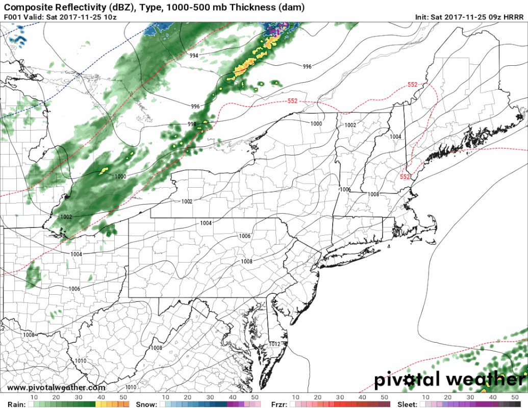 For anyone headed out for the day, it should be a decent day overall. Clouds will increase as the front approaches. What little shower activity occurs appears to happen around sunset or after. This is the first wave. Temperatures remain above freezing for most locales until the wind shifts on the backside of the front. 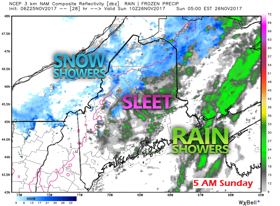 As the backside of the front sweeps through, this is where my concerns for some slick spots for early Sunday. Southern areas are the least likely to have issues, but anywhere north of York and Cumberland County could have some areas of icy roads. The daily highs will occur around midnight and then fall for the remainder of the day. I am not expecting widespread problems since there is not a lot of liquid equivalent precipitation involved, but drivers should be aware of changes in road conditions and adjust speeds accordingly. 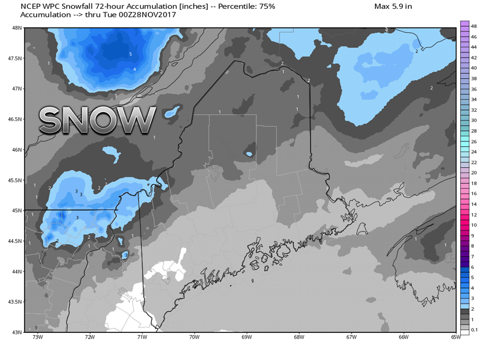 This is the Weather Prediction Center's idea for snowfall in the 75 percentile. I present this specific idea to you to show that the mountains and north are likely to see the most snowfall from this system. For the south and east, there is a chance of a dusting to come out of this, but not much more than that. It's a good bet that all areas will see at least a few flakes by the time this is over for most of the region Sunday afternoon. I do expect off and on snow showers to persist in the mountains and north until early Monday.
- Mike |

Mike Haggett
|


