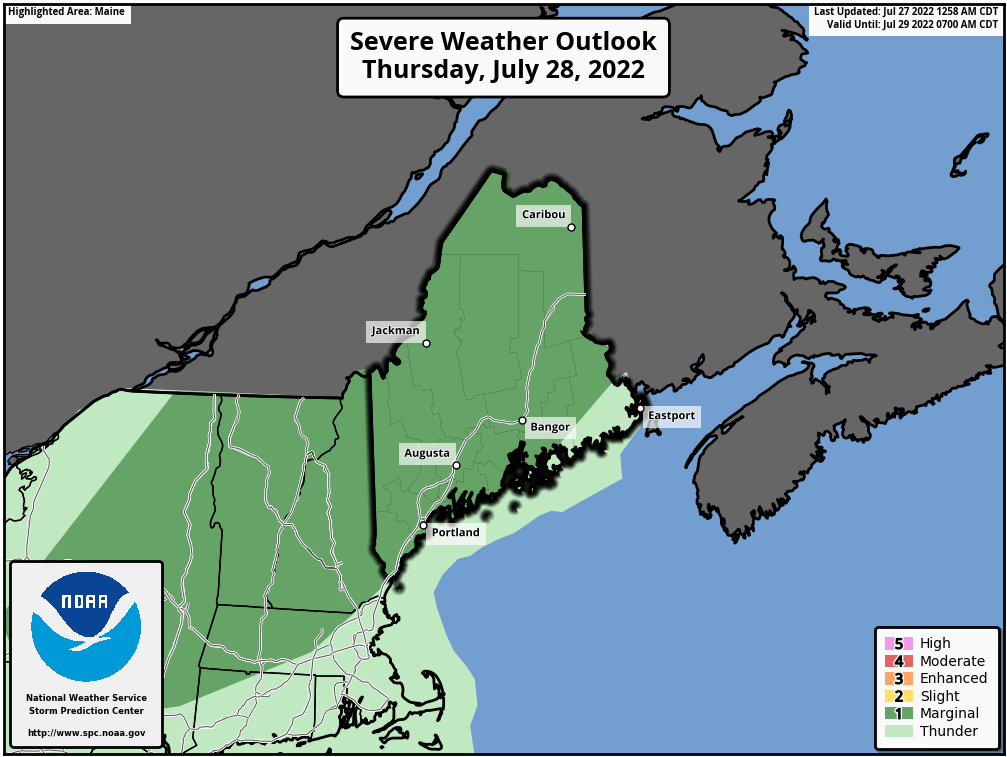
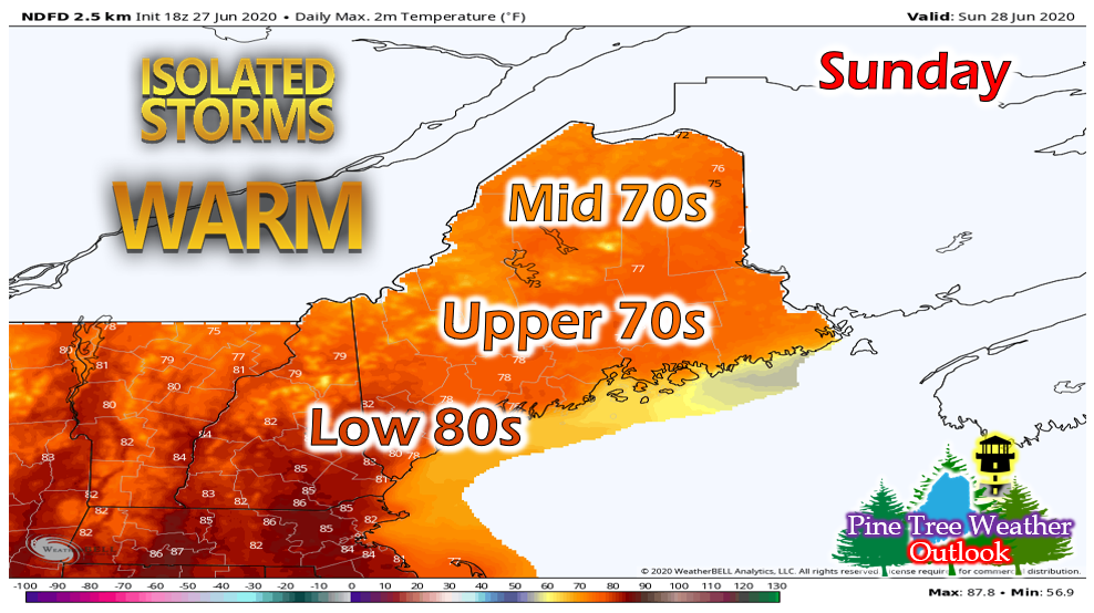
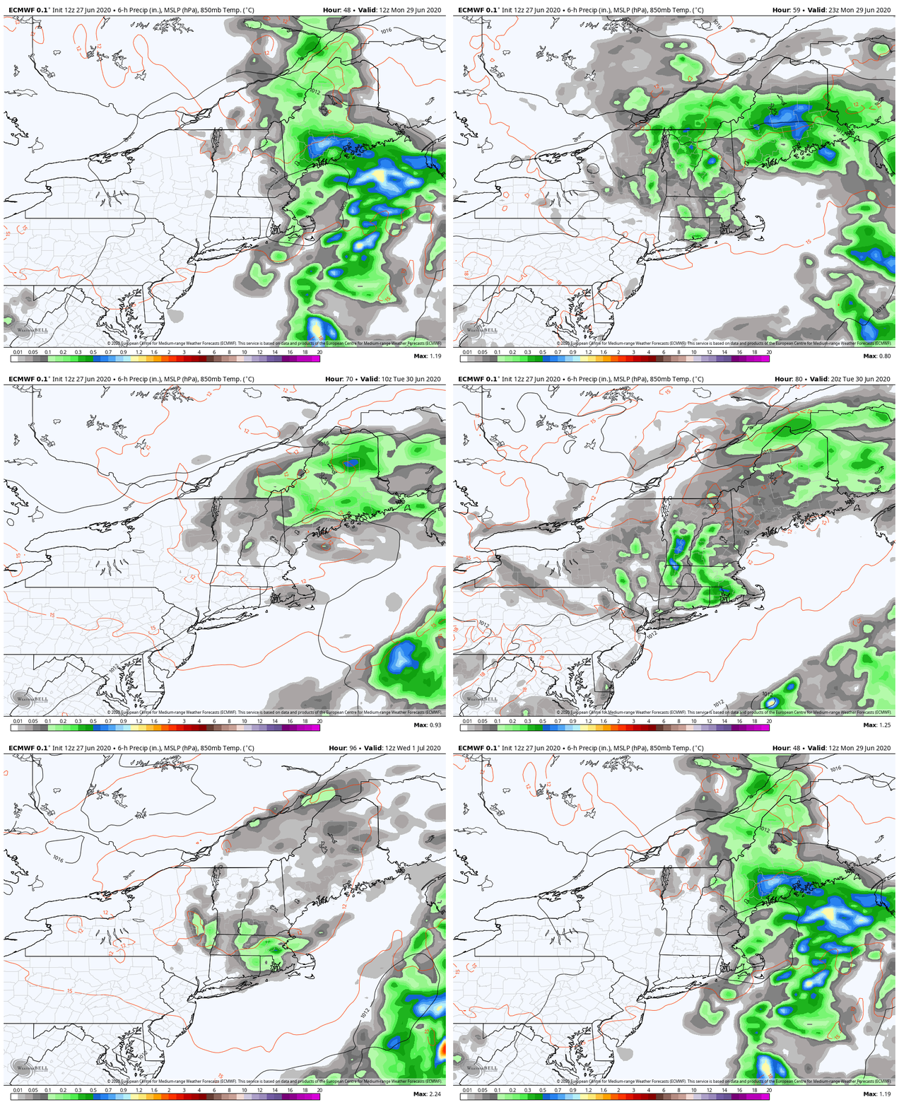
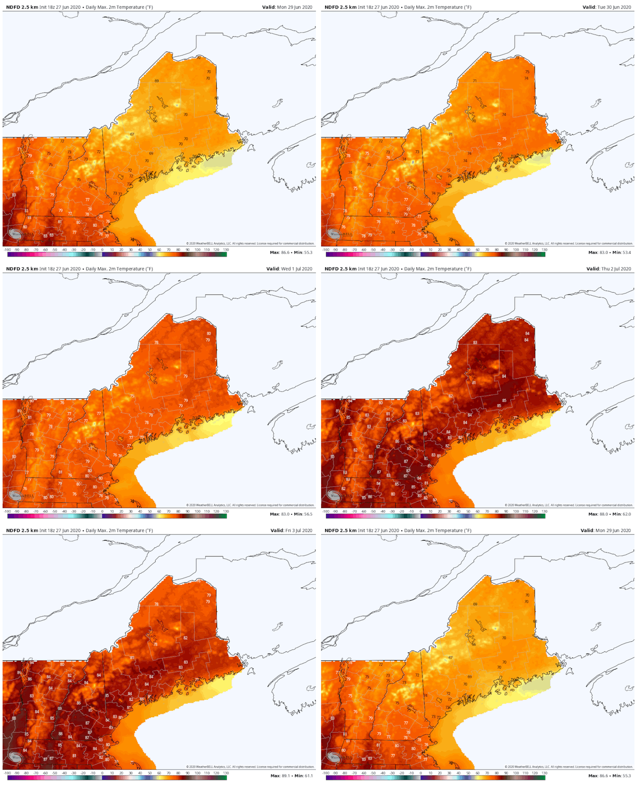
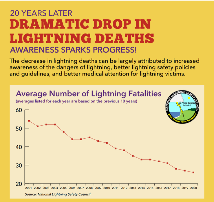
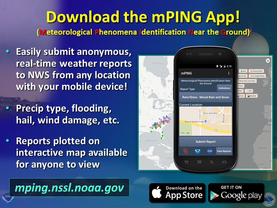
Scattered showers and thunderstorms for SundaySunday will feature some scattered showers and thunderstorms, with the greatest chance of thunderstorms in southwestern ME. The largest threats with these storms will be localized gusty winds and the potential for small hail. The showers and storms will likely begin in the late afternoon hours, with the showers lingering into the overnight hours. Temperatures will be mainly in the 70s throughout the state with dew points in the lower 60s. Southwestern portions of the state will see temperatures in the upper 70s/low 80s with dew points in the mid 60s, hence the greater chance for thunderstorms. Skies will be partly cloudy otherwise. Temperatures overnight will drop into the upper 50s and low 60s throughout the state. Scattered showers will linger overnight and fog will be likely, especially in areas where it rained. Much needed showers and a gradual warm-up throughout the weekThe system that brought the showers on Sunday will proceed to linger off the coast of Maine and impact the state throughout the next few days. Expect showers Monday through Wednesday, with a brief clear up for Thursday before a backdoor cold front swings through on Friday. This rainfall will hopefully be beneficial in compating the drought conditions in the state. Several locations in the state will likely see 1-2 inches of rain, however, some areas could see much less due to the convective nature of some of these showers. The threat for flash flooding cannot be ruled out as well, given that these storms will be fairly slow moving. As the system begins to move off, temperatures will gradually increase as the week continues. Beginning in the upper 60s and lower 70s for Monday and increasing into the mid 80s by Thursday. As previously mentioned, a backdoor cold front will move through on Friday, dropping temperatures slightly, especially in the northern regions of the state. Dew points will likely be in the 60s throughout the week, with mid-upper 60s likely towards the end of the week. Maine Lightning Safety Awareness WeekTomorrow is the last day of Maine Lightning Safety Awareness Week! Why do we continue to raise awareness about this subject? Because it works! As we raise awareness about lightning safety and learn how to protect ourselves and others from the dangers of lightning, the less number of lightning fatalities there are! We've been updating lightning safety graphics throughout the week, but if you'd like to read more about lightning safety and awareness, please visit this link: https://www.weather.gov/safety/lightning-safety. Stay safe and alert everyone! Help forecast verification, and stay informed!
For more information, please follow Pine Tree Weather on Facebook and Twitter.
Thank you for supporting this community based weather information source that is funded by your financial contributions. Stay updated, stay on alert, and stay safe! Make it a great week :) - Alex |
Mike Haggett
|

