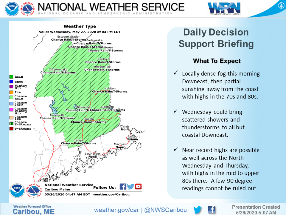
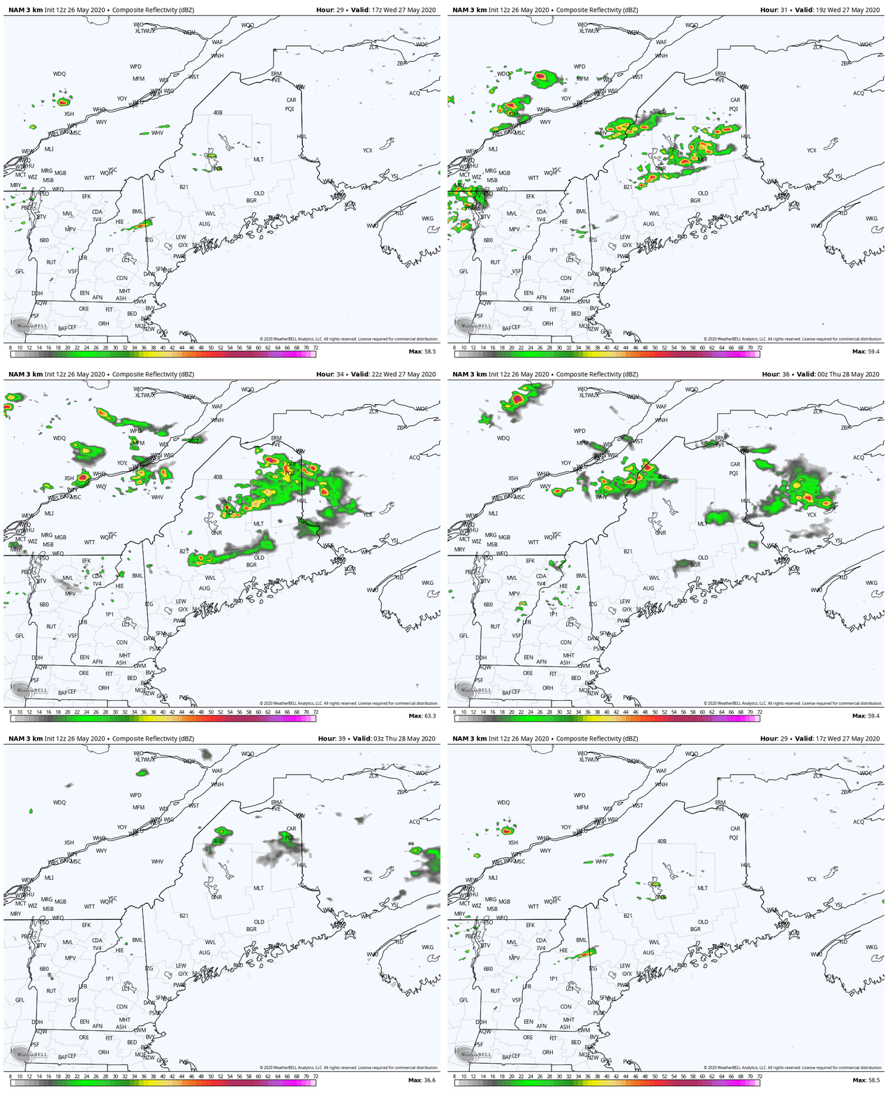
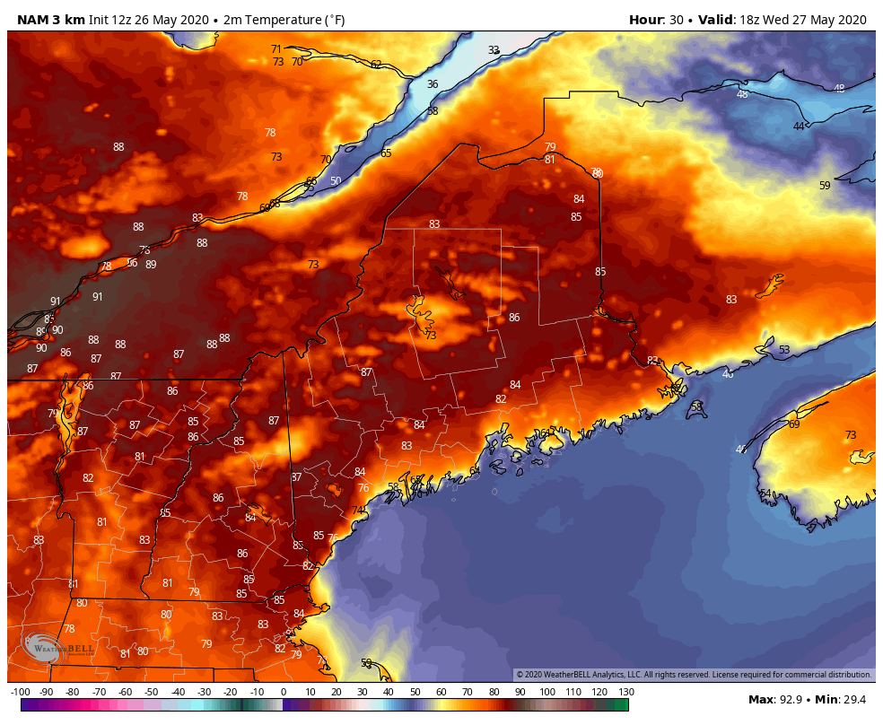
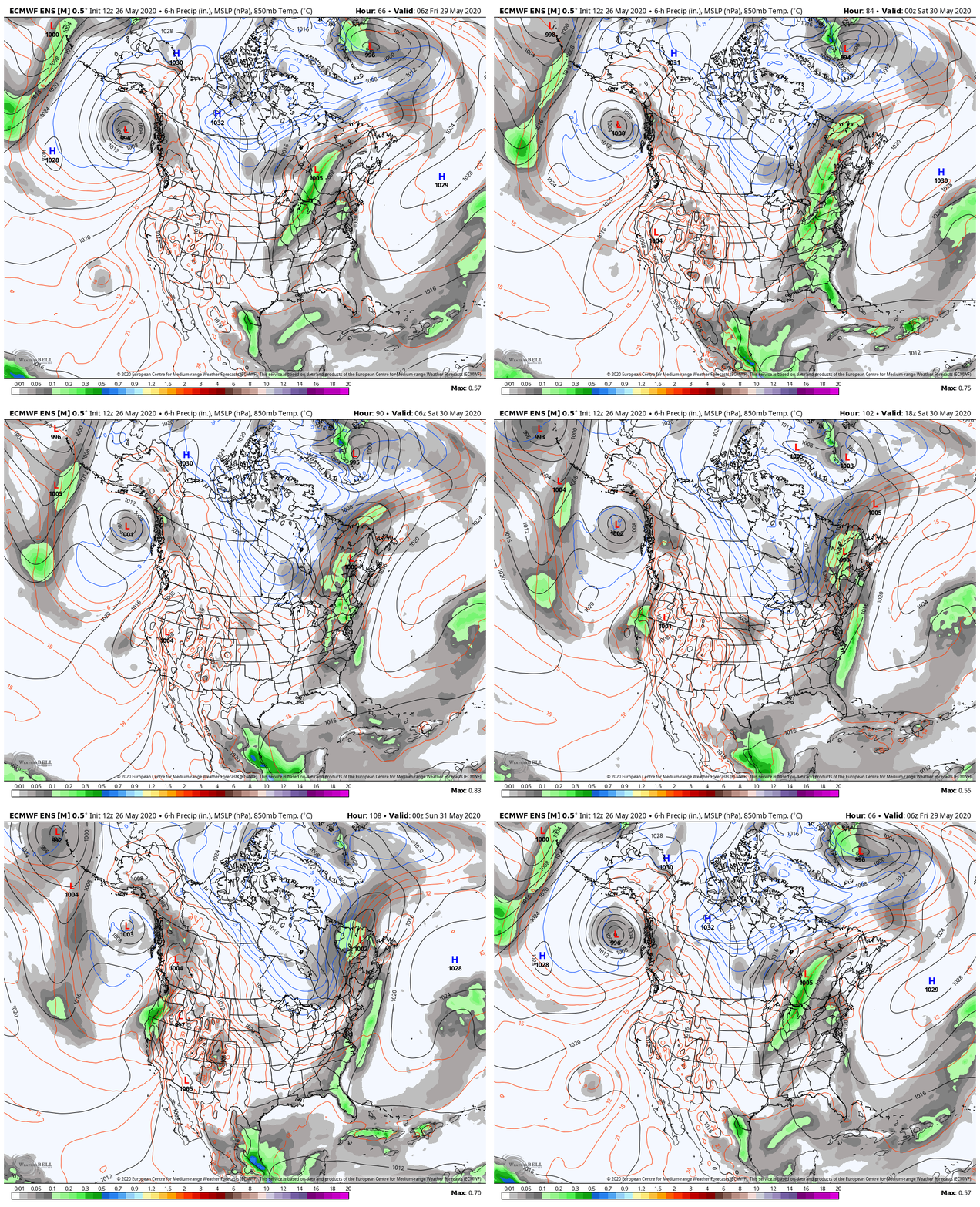
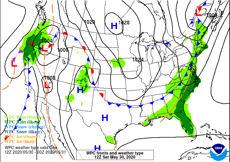
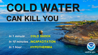
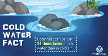
Warm, muggy conditions with scattered storms on WednesdayAs temperatures and dew points increase across the state, potential for afternoon scattered thunderstorms is likely. Increased heating of the surface creates an increase in the temperature gradient with height, and with the increased moisture in the air, creates potential for these afternoon storms. The GIF above is from 1 PM Wednesday to 12 AM Thursday. Wednesday temperatures are looking quite hot statewide. With increasing dew points in the 60s, the feel outside will be quite muggy. Lighter, westerly winds are expected for all of Maine except coastal areas, where onshore flow from the south will keep the coast a little cooler than inland Maine, ranging from mid-60s to mid-70s. Some places in Maine have potential to reach into the low-90s. Rain outlook for Friday/SaturdayLooking ahead into the week, a low pressure system moves north of Maine on Friday and into Saturday. This brings along a cold front pushing through Maine and bringing widespread rain across the state. The GIF shows the rain outlook for the weekend, from 2 AM Friday to 2 AM Sunday. The surface analysis shows the placement potential for fronts and pressure systems on Saturday at 8 AM. Reminder on Cold Water SafetyAs temperatures get warmer and the summer feeling comes back, this is a reminder that Maine's coast temperatures are still very cold to swim in, and swimming in cold water temperatures is a serious danger. Coast water temperatures are in the 50s, and any water temperature below 70 degrees is a danger and can decrease body heat at an increased rate. Stay informed!
For more information, please follow Pine Tree Weather on Facebook and Twitter.
Thank you for supporting this community based weather information source that is funded by your financial contributions. Stay on alert, stay updated, and stay safe! Have a great rest of your Tuesday and week, stay cool! - Kaitlyn |
Mike Haggett
|

