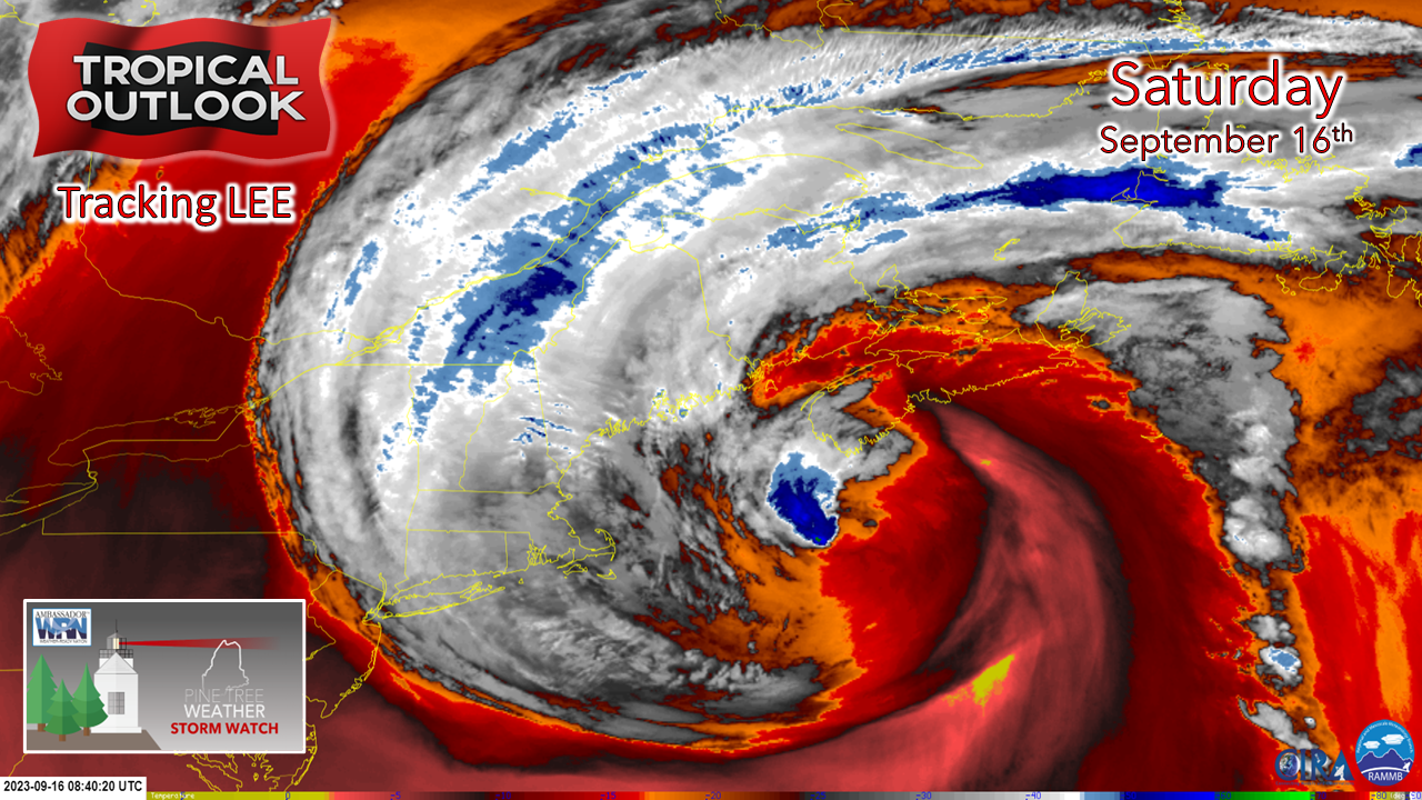
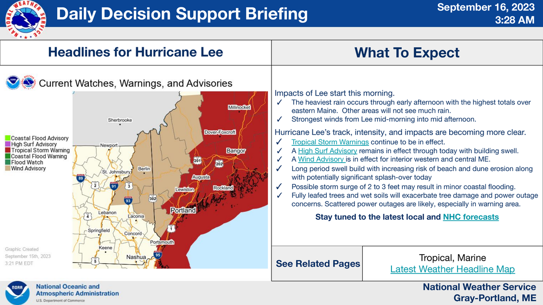
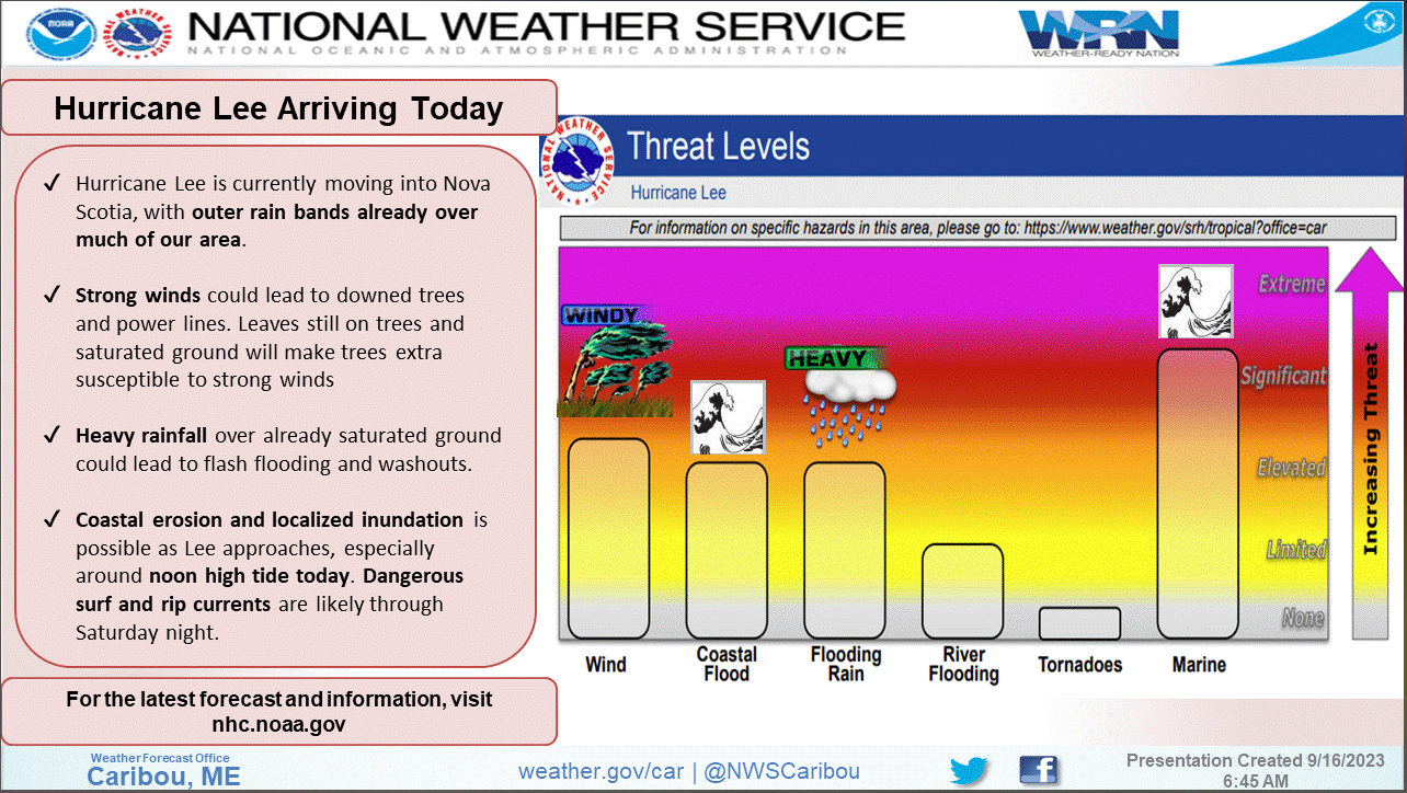
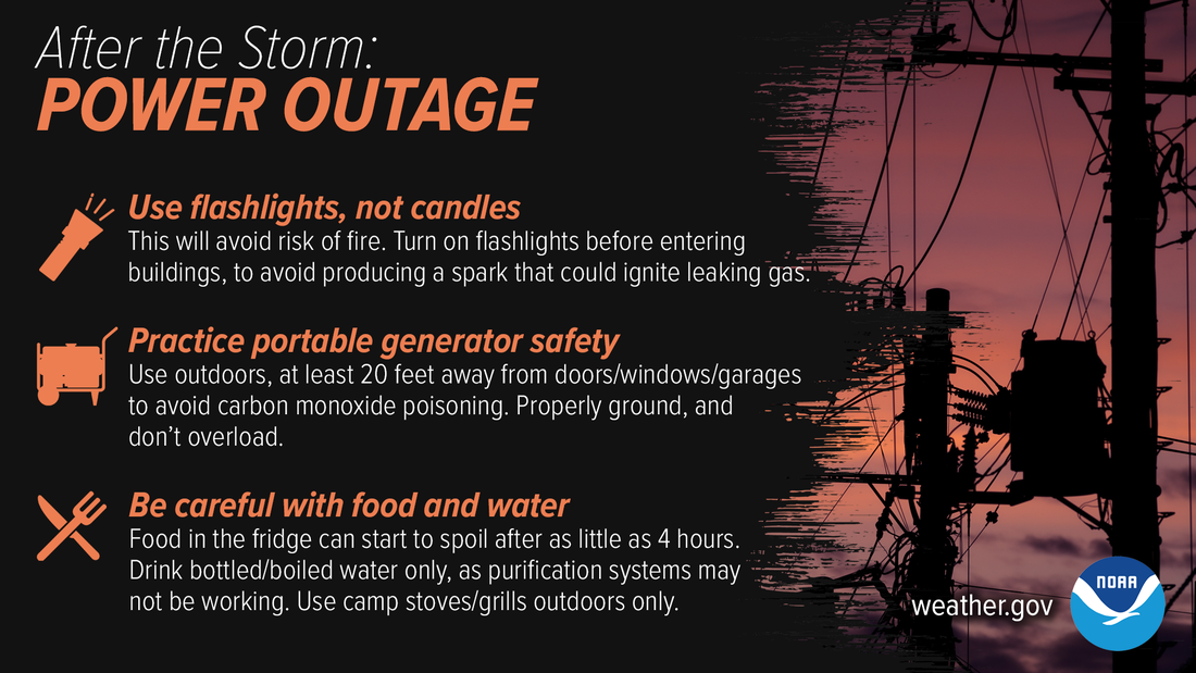
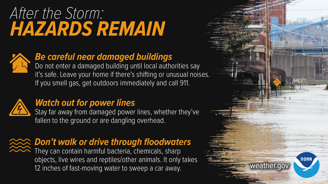
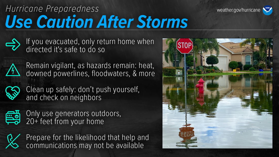
Play it smart and safe todayPlease respect the storm for what it is... strong, widespread, and impactful. Please DO NOT get caught up in the scientific semantics and get lured into thinking this storm won't be as bad since it has been downgraded to a post tropical cyclone. The wind field is massive. The mixing of strong gusts from the low-level jet at under 2,000 feet above that will be screaming between 50-80 knots will be impactful across the entire state. I've been saying for days this is going to be a bad storm. and it still is. I've been saying for days that this storm could bring surprises and outperform. In the past twelve years of monitoring and forecasting weather, I've seen many storms exceed forecast expectations. Granted, I've seen a few that busted as well. I have learned that storms with tropical characteristics aren't to be dismissed. There is an incredible amount of upper-level energy here. We've had a year's worth of rain in 8 months. The ground is too soft. Tropical storm force wind gusts will blow down trees and debris which will make for hazardous driving. Roads will be slick from rain and fallen leaves and pine needles. Further east, roads may become impassable due to fallen trees and road washouts. Power loss is expected to be scattered over the western interior, and more numerous along the southwest and MidCoast areas and into eastern and northern areas. I still expect around 250,000 will lose power out of this in Maine, over 500,000 for a total for the storm including Massachusetts and the Canadian Maritimes. I want to be wrong on this estimate, but seeing where power companies have several hundred reserve crews brought in already, they can see it. Expect disruption in communications over eastern areas. Loss of power, internet, and potentially cell phone service exists there. The shorelines are going to get battered. The hours between 10 AM and 2 PM are critical for the shorelines. Popular viewing locations such as Portland Head, Nubble Light, and Acadia National Park are closed. The ocean is a dangerous place to be. Even the surfers are staying home. If you don't have to travel today for work or emergencies, please stay home. By the end of the day, if you still have power, thank God, and rest well tonight. All the storm preparation you've made won't be for nothing. Climatologically, the stormiest time of the year is approaching. Consider this event to be a preseason test because there will be another storm sooner than later, but nothing imminent. We've got this. I will be updating on Twitter / X periodically and may update with a video on Facebook later in the day pending on how the storm evolves. Lee: The latest storm forecasts, maps, imagery and moreSouthern & Western Maine InformationClick on the image above for direct access to NWS Gray for more information. HURRICANE LOCAL STATEMENT for the latest official forecast information. This covers the ENTIRE southern and western Maine region. MAINE HURRICANE EVACUATION DASHBOARD Northern & Eastern Maine InformationClick on the image above for direct access to NWS Caribou for more information. HURRICANE LOCAL STATEMENT for the latest official forecast information. This covers the ENTIRE northern and eastern Maine region. MAINE HURRICANE EVACUATION DASHBOARD Storm Safety InformationEven after the storm passes, power outages have their own set of hazards. Be especially careful with generators — never use them inside or in garages to avoid carbon monoxide poisoning. Use flashlights, not candles, to avoid the risk of fire. weather.gov/safety/hurricane-after Hurricane dangers remain ever after the skies turn blue. Watch out for downed power lines and damaged buildings. Avoid floodwaters as they can hide a variety of dangers, and never drive through them, as it doesn’t take much to sweep your car away. weather.gov/safety/hurricane-after A key part of hurricane preparedness is understanding the dangers that remain after a storm. This is NOT the time to let your guard down. Nearly half of hurricane fatalities occur after the storm. noaa.gov/use-caution-after-storms FUNDING NEEDED FOR 2024 Pine Tree Weather is funded from followers like you. I would appreciate your financial support. Click here for how you can contribute. You may not like the weather, but I hope you like what I do, and support my efforts. Thank you! Stay updated, stay on alert, and stay safe! - Mike NOTE: The forecast information depicted on this platform is for general information purposes only for the public and is not designed or intended for commercial use. For those seeking pinpoint weather information for business operations, you should use a private sector source. For information about where to find commercial forecasters to assist your business, please message me and I will be happy to help you. |
Mike Haggett
|


