
A more summerlike day Friday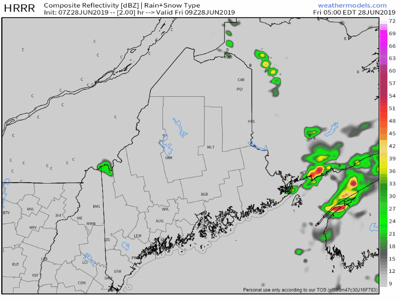 Areas seeing early morning fog can expect it to burn off by around 9 AM. It will be a dry morning, with temperatures rising quickly to the 70s north and east, 80s for western and southern areas away from the coast. Dew points in the 60s will make it feel rather a bit sticky for the coastal plain. Widely scattered pop-up showers and thunderstorms develop this afternoon. Any storms that form could contain gusty winds and small hail. Saturday a showery affair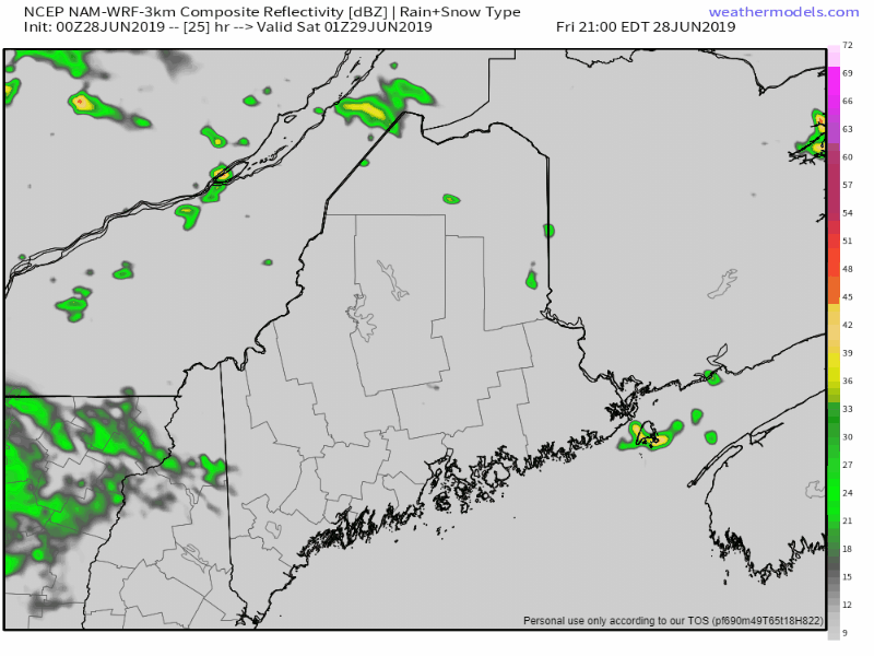 Expect areas of fog for coastal areas to start the day, with showers developing soon after daylight. Where the upper level low sets up shop will dictate who gets what for higher chances of shower and isolated storm activity for Saturday. For now, that appears to be New York and western New England. Low pressure forming along the ridge to the south of the upper low brings showers and isolated storms to the state. Storm chances will depend on how much sun can break through the clouds. There appears to be enough convective energy around for some strong to severe storms to develop, pending on solar enrichment. The zonal pattern returns through the week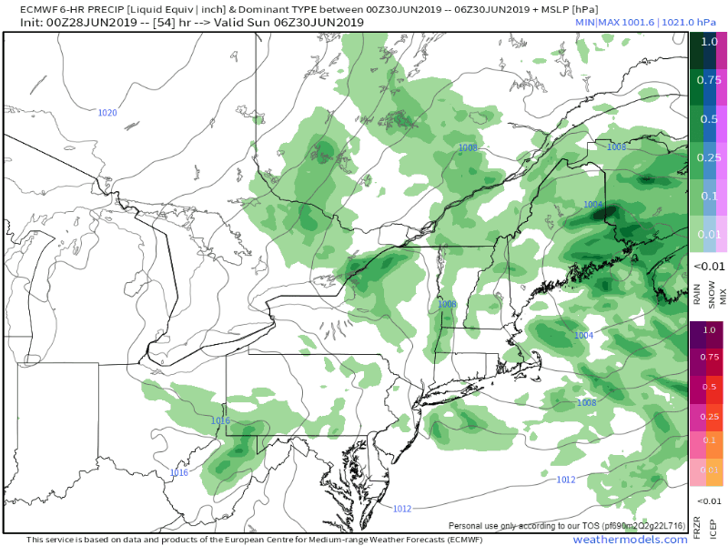 Pardon me if you've seen this movie before. This has been "the pattern" the region has dealt with since last fall. Weak disturbances will pass through the region, bringing warm air and convective energy in from the south, with frontal boundaries sweeping it away. I am concerned about severe storm potential on Sunday as the boundary entering the region from Quebec is a bit on the cool side. For now, southwestern areas have the best chance for some spicy storms to break out. Given the cold air aloft, there is concern for a large hail possibility. Gusty winds, downpours, frequent lightning and a low chance for a weak tornado are all on the discussion table. Monday appears to be dry, a bit breezy, and a bit cool for the start of July. Another frontal boundary heads for the region Monday night into Tuesday, bringing the chances for showers and isolated thunderstorms through Tuesday night. A weak wave works through northern and eastern areas Wednesday, which may bring a pop up shower or storm for those regions in the afternoon. I am cautiously optimistic that the Fourth will be a dry, warm, sunshine filled day. Rainfall outlook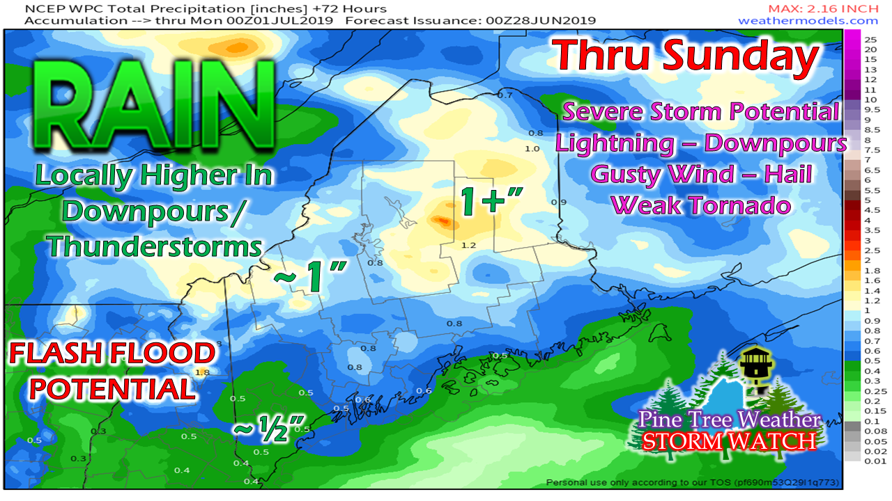 A general idea of what to expect here. For those who are camping out this weekend, pick your site with thoughts of rising brook, stream and river levels, along with potential runoff. Keep your NOAA Weather Radio handy and in alert mode for bulletins from the National Weather Service. Take appropriate action when storms hit. Regional outlook through Wednesday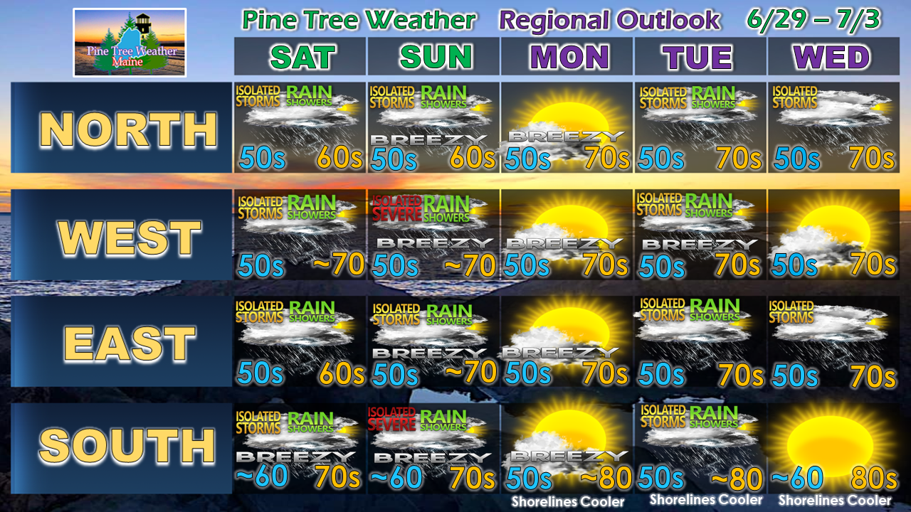 Stay on alert for strong to severe storms through the weekend.
► ► For the latest official forecasts, bulletins and advisories, please check in with the National Weather Service in Gray for western and southern areas, or Caribou for northern and eastern parts of Maine. Please consider supporting Pine Tree Weather ► ► Your financial donations are much appreciated to keep this site funded and for further development. I sincerely appreciate your support not only financially, but also in sharing my efforts with others. For more information from me, please check the Pine Tree Weather Facebook page as well as my Twitter feed. Always stay weather aware! - Mike |

Mike Haggett
|


