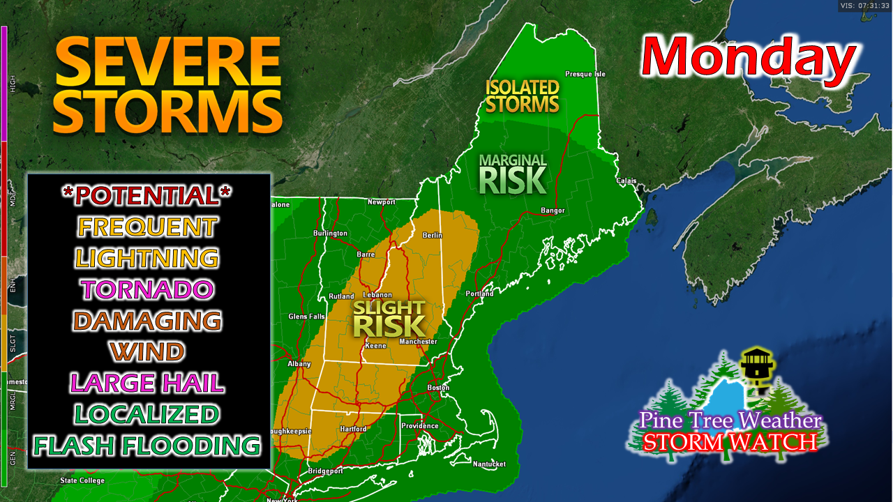
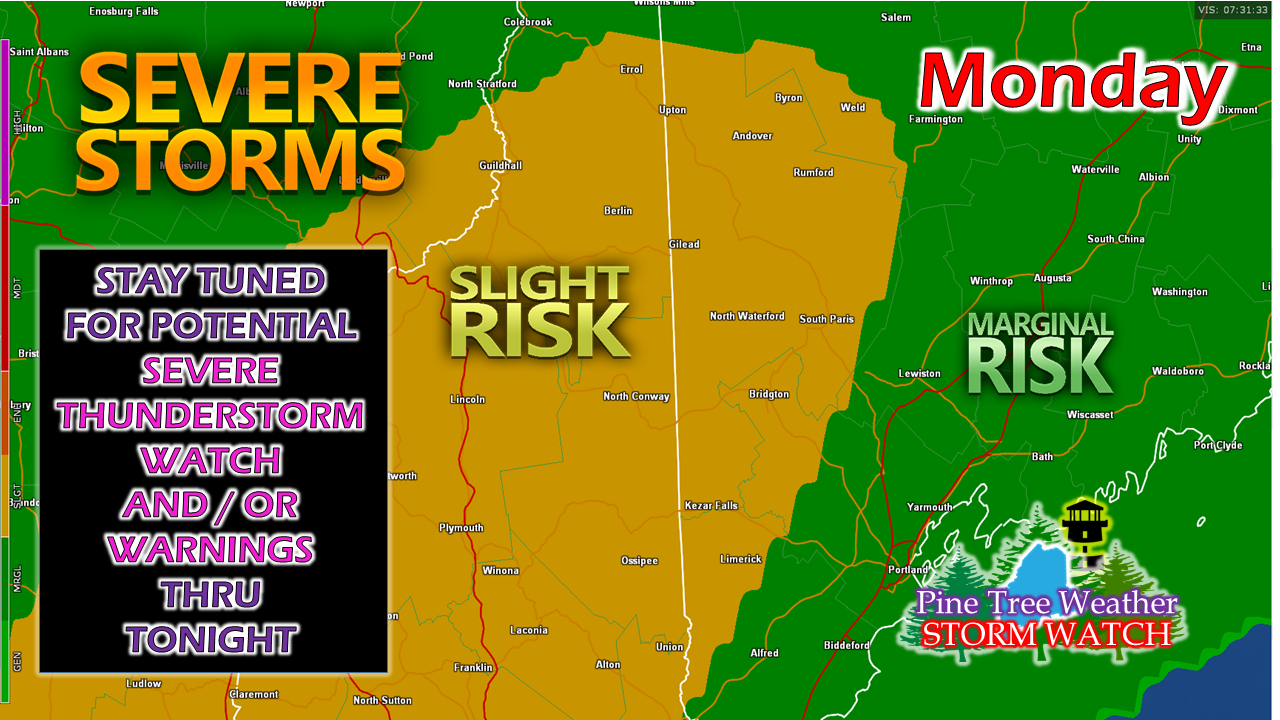
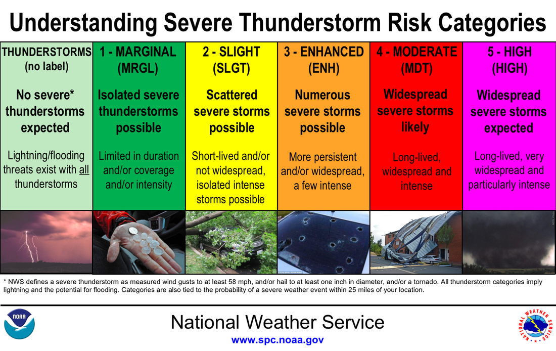
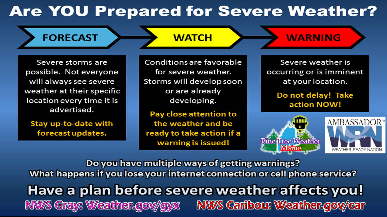
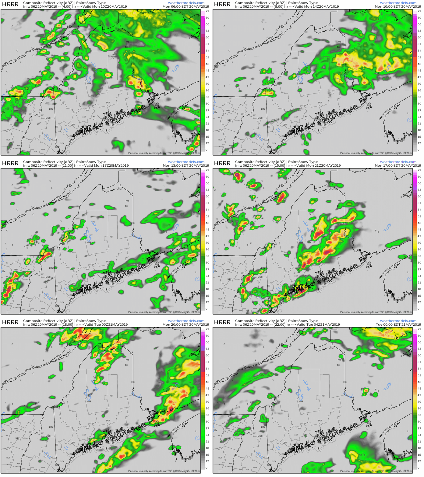
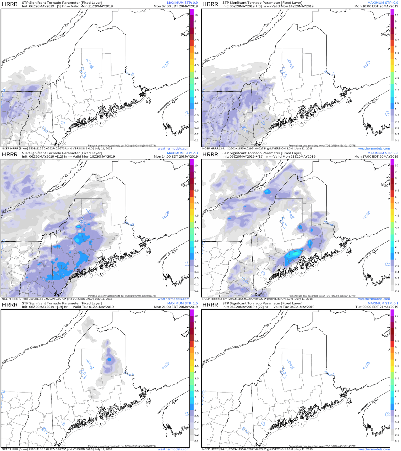
A rough day ahead for parts of the regionAs I have been mentioning on my Facebook updates in the past few days, the threat for storms has been concerning over the past few days. That potential appears to be reality for much of the region today. While Storm Prediction Center has highlighted much of western Maine in the "slight risk" category, there is potential that this areas could expand pending on daytime heating and frontal boundary progression. A refresher on the severe thunderstorm risks issued by SPC shows the levels and what they mean. While at first glance it may not appear to be a huge threat, the threat exists for some isolated intense storms which could pack a punch once developed. I have preached for years that NOAA Weather Radios properly set up to alert with warnings are the most reliable way to get storm related information. Maine is a rural state with cell phone coverage covering half of it. Of the half of the state covered, only two cell phone companies cover most of it, with other service providers in roaming areas outside of southern Maine. NOAA Weather Radio covers almost the entire state. Storms could be nasty in areasThis is definitely an "eye-to-the-sky" and a "listen closely" day for the state. Northern areas may see some isolated rumbles this morning, it will be this afternoon for western, eastern and southern areas. It will be imperative to keep track of the latest forecast information through the afternoon and early evening as there is potential for watches and warnings. This is our first severe threat of the season... STAY ON ALERT! There is plenty of spin predicted in the atmosphere over the region this afternoon into early evening. There is a risk of damaging wind, along with tornado potential. Given the cold air coming in with the front, large hail is a potential concern with this set up. With humidity levels elevated, the risk of localized flash flooding, hydroplaning on roadways, and reduced driving visibility are all hazards as well.
For those looking for spring... it has officially arrived. Summer is knocking to come in. For more information from me, please check the Pine Tree Weather Facebook page as well as my Twitter feed through the course of the day. ► ► For the latest official forecasts, bulletins and advisories, please check in with the National Weather Service in Gray for western and southern areas, or Caribou for northern and eastern parts of Maine. ► ► Your financial donations are much appreciated to keep this site funded and for further development. I sincerely appreciate your support not only financially, but also in sharing my efforts with others. Always stay weather aware! - Mike |
Mike Haggett
|

