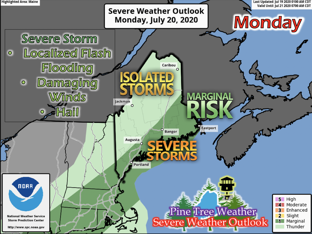
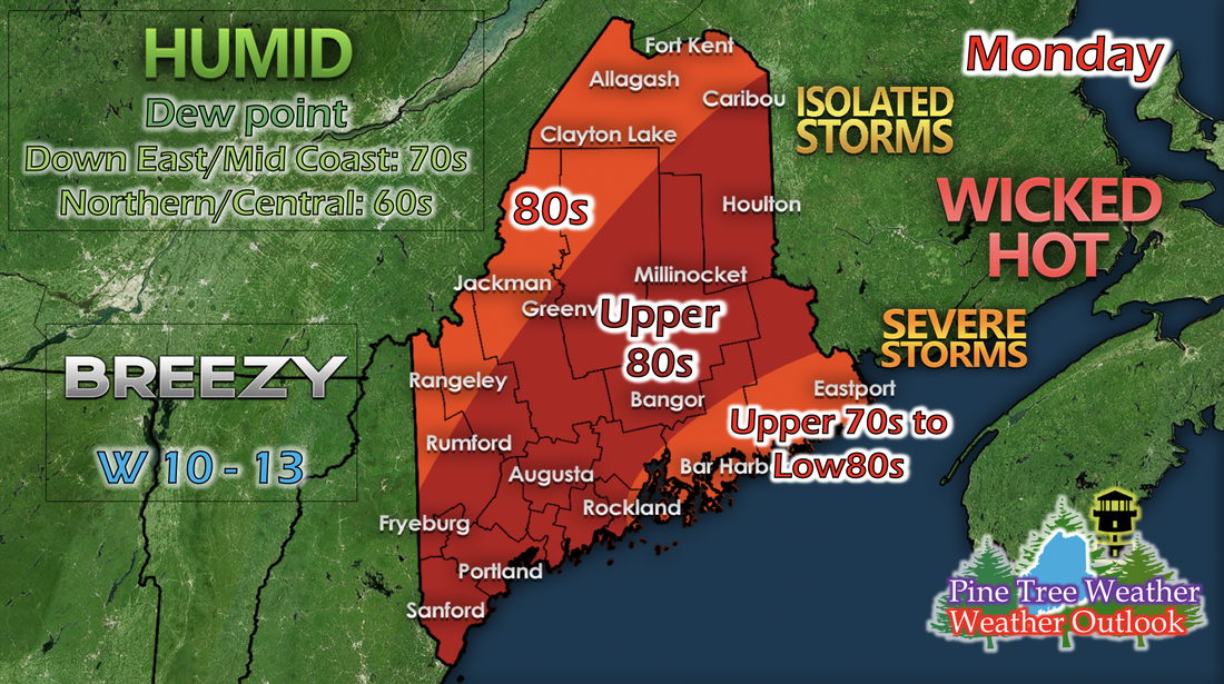
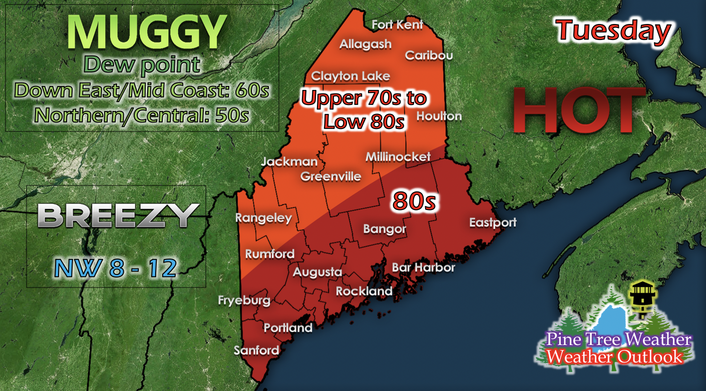
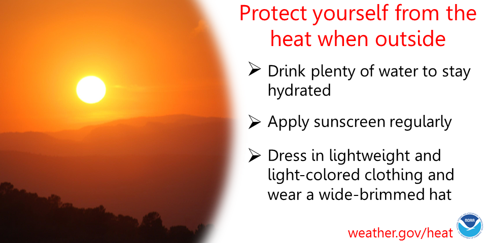
Severe weather potential for MondayAn approaching cold front from the west from a low pressure system residing up north and in Canada will be pushing through the state on Monday. With the cold front, there will be thunderstorms statewide in the afternoon. Increased levels of CAPE (energy in the atmosphere used to create severe storms), 0-3 km storm relative helicity (associated with updraft rotation in severe storms), and 0-6 km wind shear (helps develop severe storms) are evident in short-range models, and have been there for the last few runs. The development of severe weather is possible across the Portland, Mid Coast, and Down East areas as well as up along the eastern border, and Bangor and Augusta. North of the areas mentioned, isolated storms are possible as well, and may develop severe weather characteristics, but they're just not as likely. With severe weather, common impacts are damaging winds, localized flash flooding, and hail. At the first sign of thunder, move indoors at the earliest convenience. In addition to severe weather potential, Monday will also be very hot and humid statewide. Northern and Down East areas of the state will feel temperatures in the upper 70s to 80s. Elsewhere will feel temperatures in the mid to upper 80s, with some isolated areas able to reach into the 90s. Down East and Mid Coast dew points will be in the 70s, and elsewhere in the 60s, making outside feel humid and sticky. As the cold front moves through, temperatures will drop in the late afternoon and Tuesday will be slightly cooler. Winds also pick up from this front; winds shifting westerly and ranging from 10 to 13 mph. Tuesday: Beautiful summer day with slight humidityThe cold front from Monday will be bringing drier air into the region, resulting in lower dew points as well as slightly cooler temperatures. Humidity drops a bit, and outside may feel only slightly muggy. Southern Maine will feel temperatures in the 80s, and elsewhere in the upper 70s to low 80s. Cloud cover is clear to partly cloudy skies, so it makes to be quite a beautiful day on Tuesday. Heat SafetyAs we get deeper into the summer, it's important to remember heat safety and how heat can affect our bodies. To avoid heat-related illnesses, drink plenty of water to stay hydrated, apply sunscreen regularly to avoid sun burns, and dress in lightweight and light-colored clothing with a wide-brimmed hat. Help forecast verification, and stay informed!
For more information, please follow Pine Tree Weather on Facebook and Twitter.
Thank you for supporting this community based weather information source that is funded by your financial contributions. Stay updated, stay on alert, and stay safe! Thank you for all of your support! Here's my Venmo if you'd like to contribute: @Kaitlyn-Lardeo Have a great day! - Kaitlyn |
Mike Haggett
|

