
A cold front moves through Friday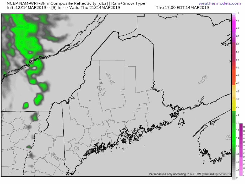 A few rain showers cut across northern areas Thursday evening. Areas of fog are likely to develop as warmer air builds in from the southwest. Scattered showers break out across the region Friday. Rainfall amounts appear light for southern areas. Western and northern areas may see a half inch at most. Eastern areas appear likely to get the most, which will range from a general half to 3/4". Rain tapers off Friday afternoon, with just an isolated shower possible into Friday night. Any flood risk appears minimal, as far as rivers go. With the mild temperatures, I do expect standing water to develop on roadways. Be advised that under those roadway puddles could be some nasty pot holes. Frost heaves are likely to be more of an issue as the ground thaws through Saturday. 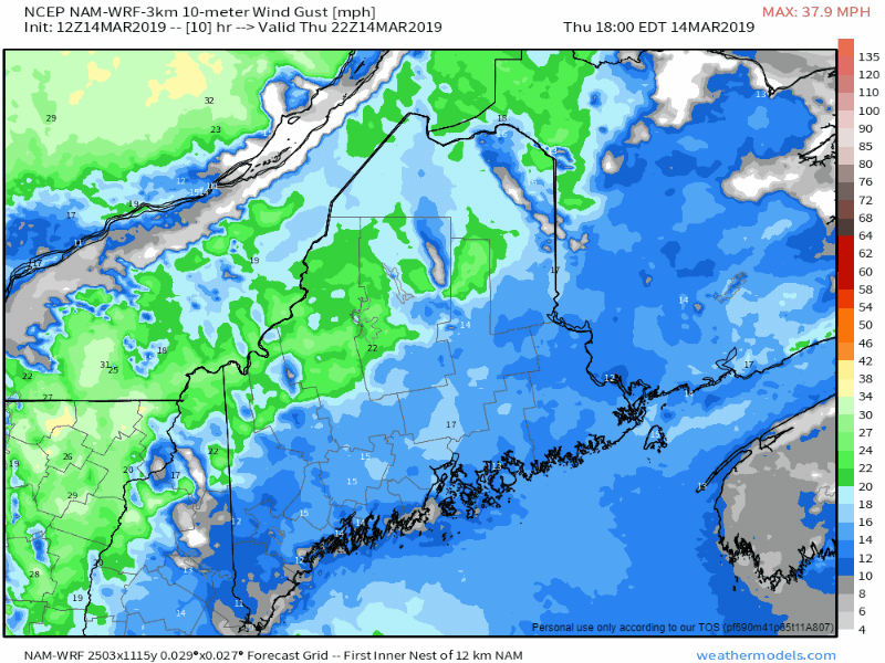 Wind will pick up Thursday night from the southwest, and could be gusty at times, ranging from 20-30 mph, with gusts 30-40 possible DownEast midday into Friday afternoon. After the cold front passes through Friday evening, the wind speed appear to decrease, but will still be noticeable through the weekend and into the start of next week. Expect flying trash cans along the coast on Friday, and maybe a few spotty power outages, especially DownEast. Spotty snow showers for the interior Saturday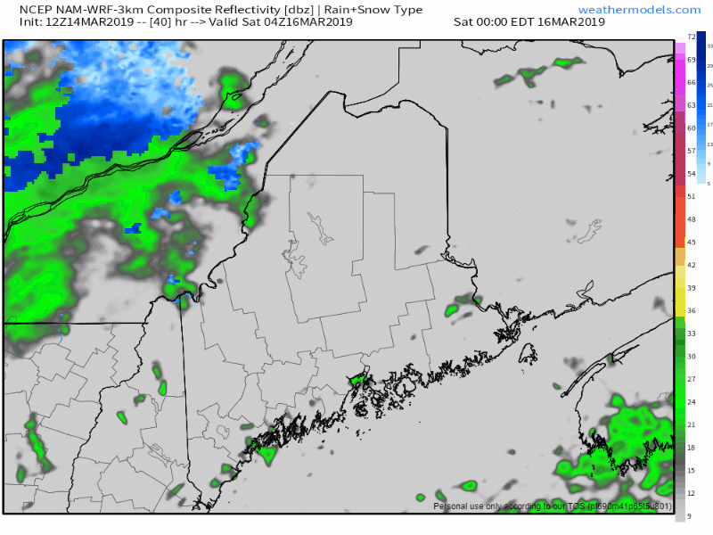 Colder air works in on Saturday after the frontal passage, and snow showers break out over the mountains and north during the day. Higher elevations in the western mountains and the Crown of the state may pick up an inch or two, other than that, a dusting to an inch may fall in areas that do see some activity. Eastern areas may see an isolated rain or snow shower Saturday evening. Outlook over the next week and a half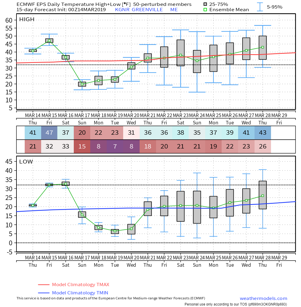 Looking at temperature trends for Greenville shows temperatures crashing well below normal starting Sunday through the middle part of the week. The trend begins to modify as we head into the latter part of next week, then warmer as we head toward the end of the month. 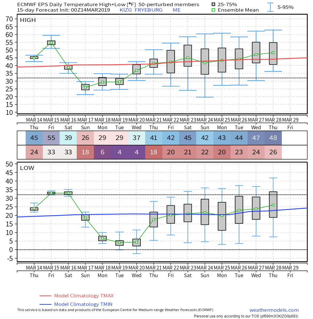 Looking at Fryeburg shows a similar trend, with projected temperatures a bit warmer due geographical difference. A couple of encouraging things to note, the trend favors the maple sap run with above freezing days and below freezing nights. It also favors a slow, gradual snow melt which is key to keep flood risks minimal for now. Ski country will still be able to make snow at night to keep the bases intact as we head into April. Regional outlook through Tuesday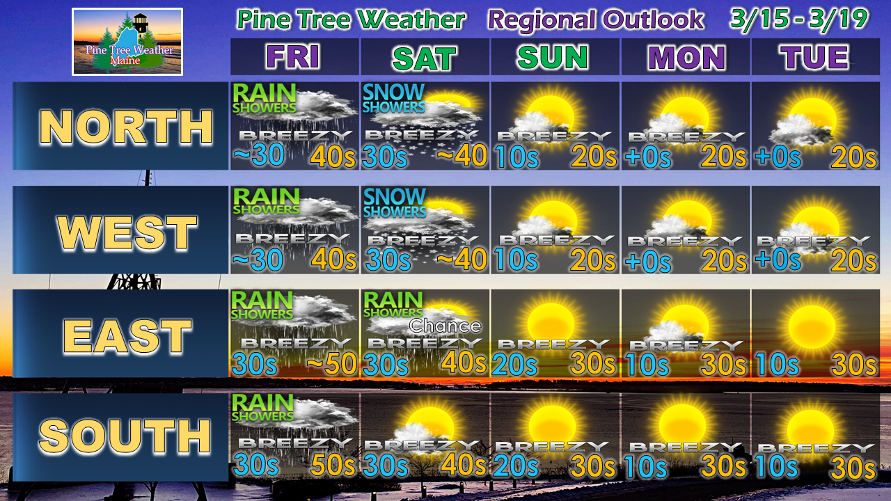 York County may see a touch of light snow Monday night into early Tuesday as a weak disturbance passes through New York into Southern New England. Otherwise, the outlook remains dry until Thursday when a clipper system may bring snow and/or rain showers to the mountains and north. For now, there does not appear to be any significant storms or snow events through next weekend.
► ► For the latest official forecasts, bulletins and advisories, please check in with the National Weather Service in Gray for western and southern areas, or Caribou for northern and eastern parts of Maine. ► ► Your financial donations are much appreciated to keep this site funded and for further development. I sincerely appreciate your support not only financially, but also in sharing my efforts with others. Always stay weather aware! - Mike |

Mike Haggett
|


