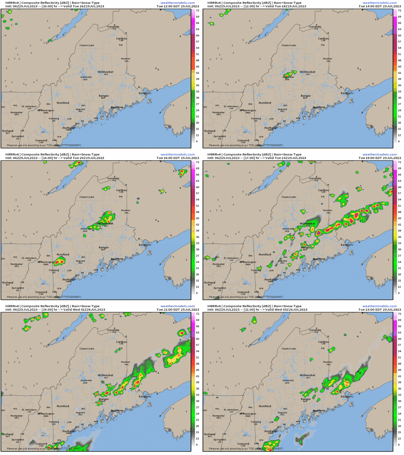
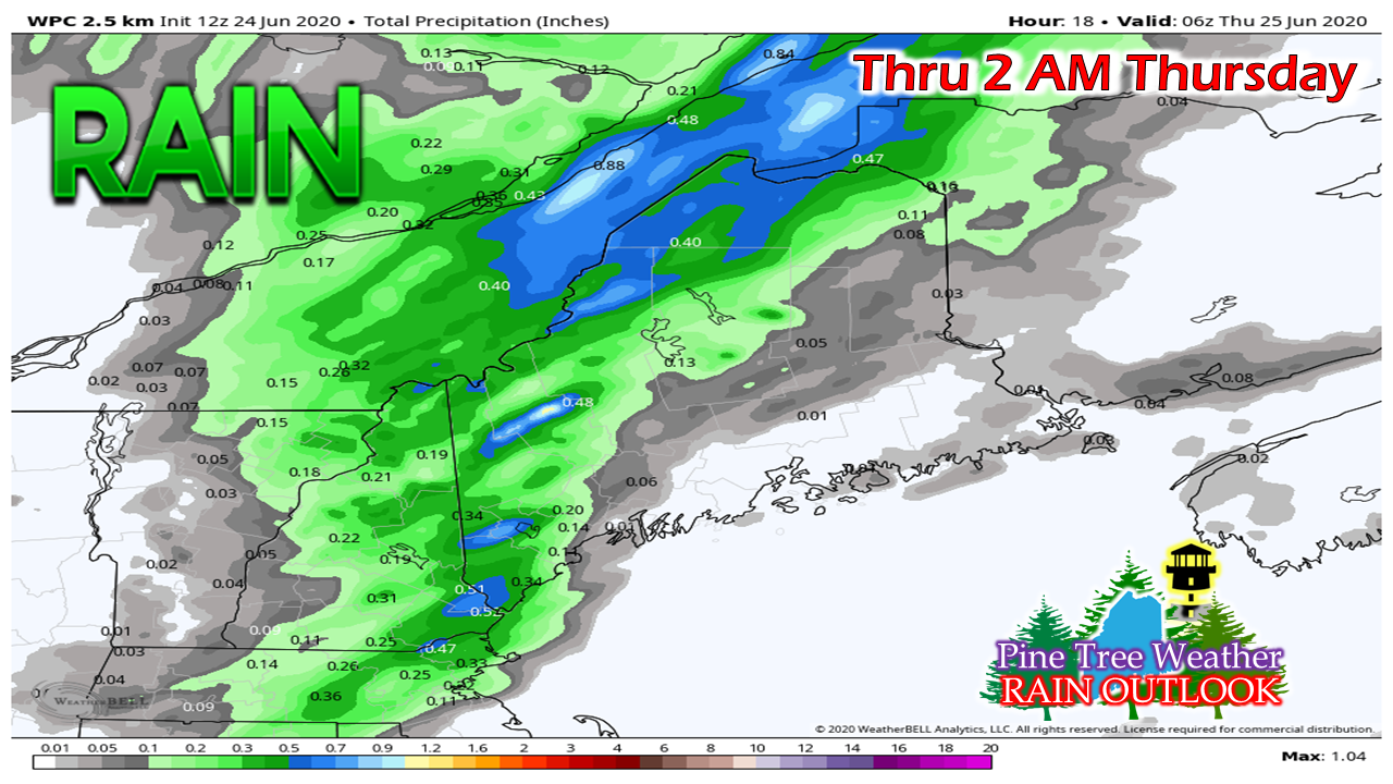
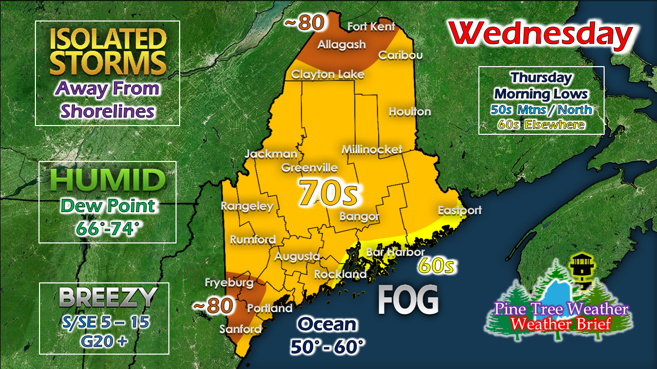
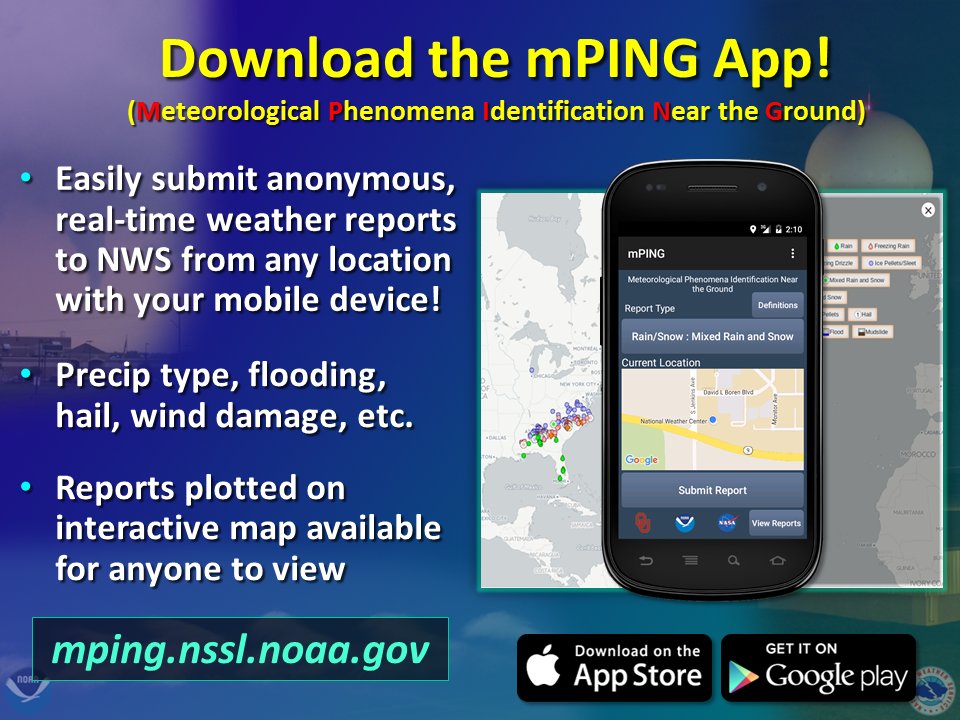
Rain for someWhile not the soaker we need, it's something. With drought conditions expanding and the two week outlook not very promising for a change in pattern, we have to take what we can get. The best chance for storms will be away from coast as a southerly breeze brings stable air to the shorelines, keeping the threat for storms inland. As we have discussed here and on Facebook over the past couple of days, there is not a whole lot of rain associated with this. MidCoast and eastern areas may not get a single drop, outside of any morning drizzle from fog. Areas where storms form are likely to bring heavy rain from downpours which could exceed 1". Showers will be potluck in variety. Have your rain collectors out. The main threat with storms will be damaging wind, frequent lightning, localized flash flooding and hydroplaning on roadways. Since many areas have not seen any rain, any liquid that falls could slick up the roads from petroleum deposits, so use caution while driving in wet areas. We'll have another chance for widespread rain Saturday, but do not expect a drought buster. Some areas will get into oppressive humidity levels with the dew point exceeding 70°. Once the front kicks through later in the day, dew points will fall to the 50s for most areas by Thursday morning. We will update on the weekend outlook later today. Help forecast verification, and stay informed!
For more information, please follow Pine Tree Weather on Facebook and Twitter.
Thank you for supporting this community based weather information source that is funded by your financial contributions. Stay updated, stay on alert, and stay safe! - Mike |
Mike Haggett
|

