Showers and storms likely as the system lingers on Tuesday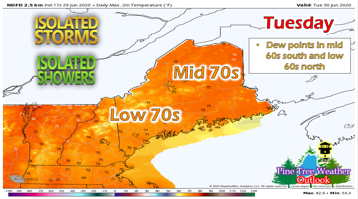 A similar scenario is expected on Tuesday as the low pressure system continues to sit over the area. Showers and thunderstorms are expected throughout the state, especially in Downeast regions. Temperatures will be slightly higher than on Monday, so the thunderstorm threat will also be higher. The Storm Prediction Center has all of Maine in a general thunderstorm risk. The largest threat associated with these storms is localized heavy rain and flooding, as the state has seen a decent amount of rain over the past few days. Otherwise, the state will see cloudy skies throughout the day. Showers will linger into the overnight hours with temperature dropping into the upper 50s in northern regions and lower 60s in southern regions. Fog is likely overnight, especially in coastal regions and areas where rain occurred. Showers continue on Wednesday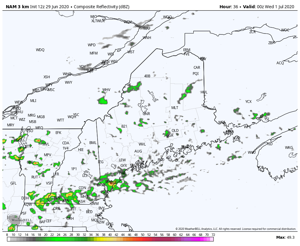 The showers and storms become more scattered as the day progresses on Wednesday and will mainly linger in the southern and central regions. Temperatures will reach the upper 70s and low 80s in northern areas, mid 70s inland, and low 70s in southern areas. Showers will begin to move out through Thursday morning before a backdoor cold front swings through on Thursday. Temperature outlook through the 4th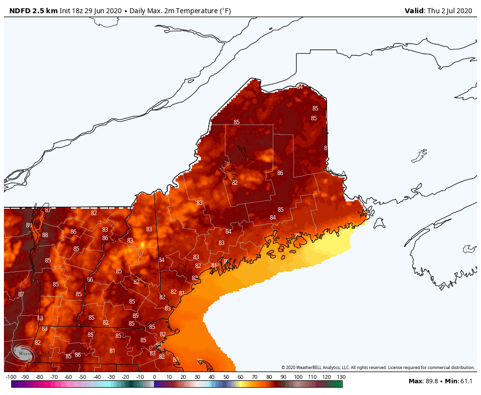 Thursday will be the warmest day this week with temperatures in the 80s across the state. A cold front moves through the region late Thursday and will drop temperatures slightly for Friday. Temperatures are looking beautiful for the 4th, with highs in the mid to upper 70s. The only thing to watch out for on the holiday is the chance for some afternoon pop-up showers and storms. Help forecast verification, and stay informed!
For more information, please follow Pine Tree Weather on Facebook and Twitter.
Thank you for supporting this community based weather information source that is funded by your financial contributions. Stay updated, stay on alert, and stay safe! Make it a great week! - Alex :) |

Mike Haggett
|