
While threats are low, storms could get a bit spicy Folks engaged in any outdoor activity should be on watch for potential thunderstorms through the early evening hours. While not a widespread concern, the isolated storms that come may deliver punch of lightning, downpours, gusty wind and perhaps some hail.  The maine threat will be for the afternoon. The way the dynamics are setting up, MidCoast areas may see the better conditions for a strong to severe storm. Northern and eastern areas have the chance for a few stragglers to work through those areas this evening, but for most, the storms will be over before grilling time at the dinner hour.  A look at temperatures through Monday morning shows the warm air going to work over southwestern areas with low 80s possible for interior York County. Humidity levels will be on the rise with dew points reaching the mid-60s, but will be short lived as the front pushes through this afternoon. More comfortable levels of humidity will return by evening, A nice Memorial Day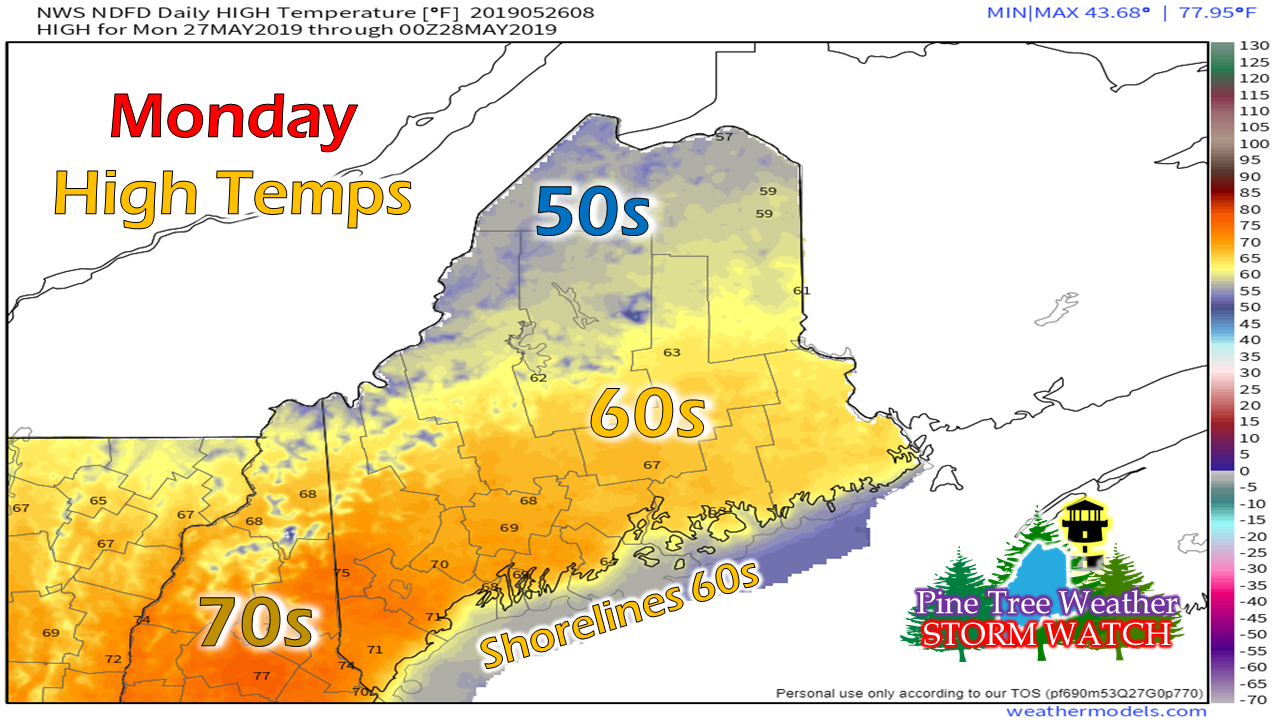 High pressure moves in for Memorial Day which bring some breeze to the region. Mainly sunny skies, a bit cool in the north, but otherwise pleasant for memorial services, parades and travel.
► ► For the latest official forecasts, bulletins and advisories, please check in with the National Weather Service in Gray for western and southern areas, or Caribou for northern and eastern parts of Maine. ► ► Your financial donations are much appreciated to keep this site funded and for further development. I sincerely appreciate your support not only financially, but also in sharing my efforts with others. For more information from me, please check the Pine Tree Weather Facebook page as well as my Twitter feed. Always stay weather aware! - Mike |

Mike Haggett
|


