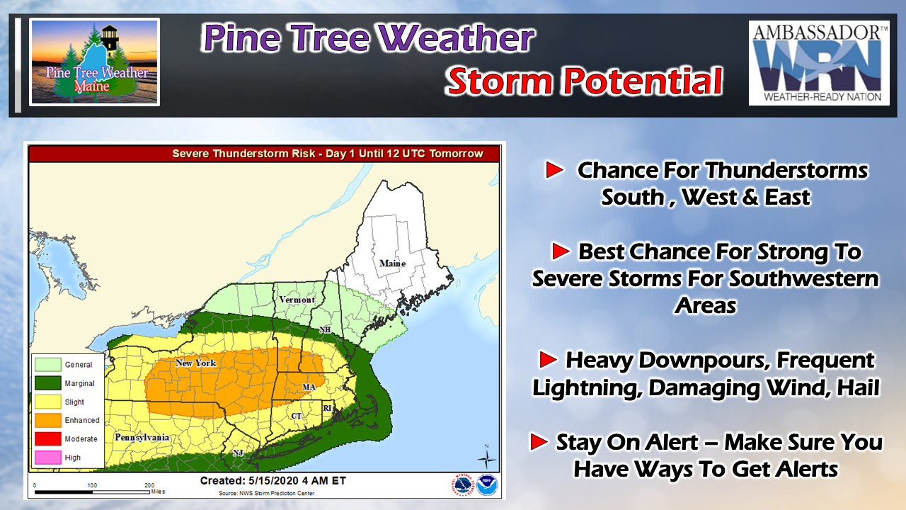
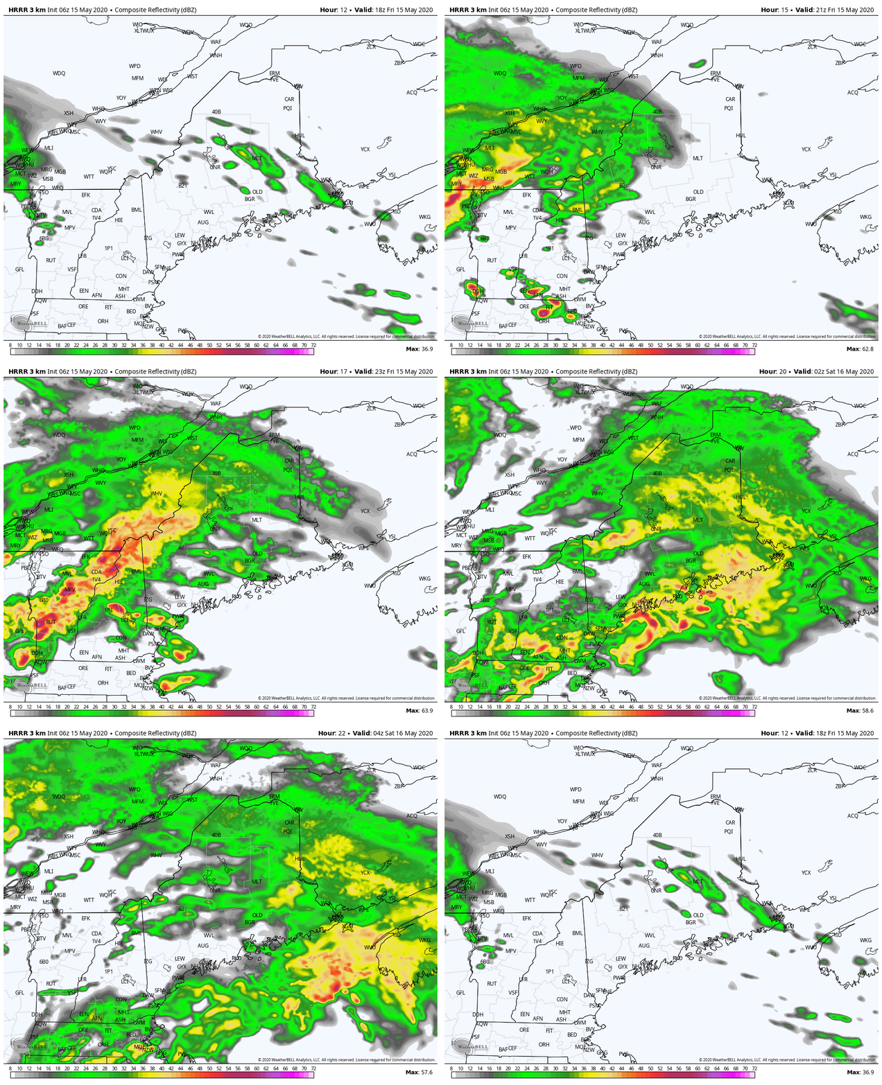
An "eye to the sky" day for all but the northWhile the worst of storms appears for central and western New England, parts of Maine could get in on the action. It depends on the amount of sun that can get out this afternoon, and how far north the warm front can advance. The best chance for severe activity is for York County, but I can't rule out for potential for rumbles from around Rumford over to Bangor. The main time for concern is from 2PM until 10 PM.
The main threats are for heavy downpours which could cause some localized flash flooding and/or hydroplane potential on the speedier roads, damaging downdraft wind gusts, small to large hail, and frequent lightning. Again, this threat is dependent on atmospheric conditions. If the sun gets out in your area, expect storm potential. Stay aware, stay on alert, and stay safe. - Mike |
Mike Haggett
|


