
The heat and humidity of summer is working in The spring severe weather season has been pretty tame for Maine so far this year, but that is about to change. The region will have period of stormy weather through the rest of the week as the summer warmth to the south works to kick out the spring weather to the north as we head into next week. New England will be caught in the atmospheric battle zone through Sunday. It would be wise to make sure you stay on alert for potential severe weather through the period. Chances will increase for severe weather as we approach the weekend. This graphic poses an important question: Do you have multiple ways of getting warnings? While we live in a world where smartphones deliver much information, they may not work in the mountains and north country. It is important to keep a NOAA Weather Radio handy just in case the smartphone fails. A dry morning turns wet, with chances for rumbles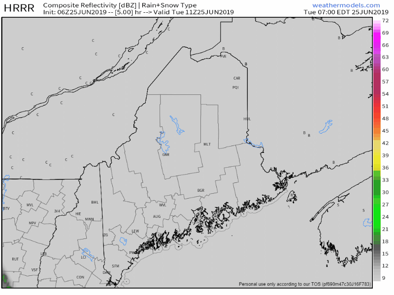 A warm front moves eastward Tuesday. The focal point for heavier rain today is over southwestern areas from roughly Fryeburg to Lewiston to Portland southward. The heavier showers and storms may arrive after the evening rush. The potential is there for some localized flash flooding, hydroplaning, and ponding on roadways into Tuesday night. Roughly ¼-½" with locally higher amounts of rain is expected from this event statewide through Wednesday morning as the front slowly moves through the area. Unsettled through the remainder of the week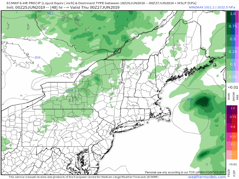 After the warm front clears the region, and cold front drops down from Quebec on Thursday which will bring scattered showers and storms to the mountains and north, with a few pop ups for the coastal region. High pressure will try to nose in on Friday, which may bring a generally dry day for southern areas, but an upper level low over eastern Canada moves drops south. Much like last Saturday, the upper low will pinwheel around the region, and will draw up warm air and convective energy into the waves cutting through the area. Showers and thunderstorms with potential for strong to severe storms are possible Friday, Saturday and Sunday. Rain forecast update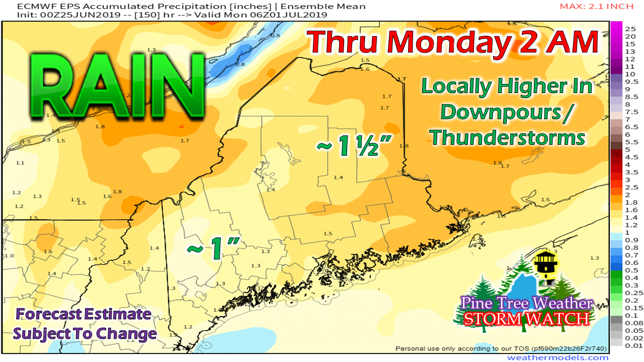 A rough estimate of 1-1½" of rain through Sunday is a fair starting point given the dynamics, with heavier amounts of rain for the international border region on both sides of it. The position of the upper level low and how much moisture it will drag into it will dictate the final tally. After this weekend, the region appears to dry out for a couple of days and will be a bit on the cool side as a Canadian high takes over early next week. Please stay updated on the forecast► ► For the latest official forecasts, bulletins and advisories, please check in with the National Weather Service in Gray for western and southern areas, or Caribou for northern and eastern parts of Maine.
Please consider supporting Pine Tree Weather ► ► Your financial donations are much appreciated to keep this site funded and for further development. I sincerely appreciate your support not only financially, but also in sharing my efforts with others. For more information from me, please check the Pine Tree Weather Facebook page as well as my Twitter feed. Always stay weather aware! - Mike |

Mike Haggett
|


