
Best chance for rain for most areas overnight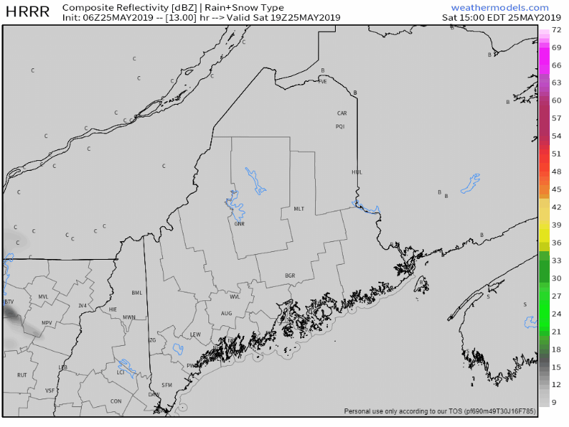 The sky starts off mostly sunny for the state, but clouds will be on the increase this afternoon. Most of the day stays dry. Shower break out over western and southern areas by early evening, As the warm front progresses northeast, showers and chance for overnight thunder overspreads the state. Showers taper off as we head into Sunday, with the last of the rain activity departing DownEast areas by mid-morning. With the warm air mass in place, expect humidity levels to rise, and expect areas of fog, some of which could be locally dense to start Sunday. A cold front drops down from the northeast Sunday afternoon and will bring a chance of widely scattered showers and thunderstorms along with it. The front should clear the state Sunday night. High pressure arrives for Memorial Day, bringing nice conditions statewide to wrap up the holiday weekend.  For most areas, rainfall amounts through Monday appear to range in the ¼-½" range with locally higher or lower amounts with downpours. The higher mountain regions could see upwards of an inch of liquid by the time the last of the showers pass through Sunday evening.
Severe weather potential remains very low, but there is always a chance for it to occur. It would still be advised to keep an eye to the sky and plan to seek shelter when thunder is heard. Along with lightning, expect gusty winds and downpours in any thunderstorm that forms. Temperature range through the period... Saturday sees widespread 70s with 60s for the ocean shorelines. Overnight lows fall to around 50°. Sunday sees northern and DownEast areas ending up on the cool side with 50s to around 60°, 60s for Bangor on up into the central highlands and Greenville, and 70s for southwest interior, cooler once again for the shorelines. Overnight lows fall back in to the 40s for the western mountains, north and DownEast, 50s for the southwest interior and Bangor. Monday's highs range from around 60° for the mountains and north, 60s for DownEast areas and 70s for the southwestern areas. Have a great weekend, and stay safe! ► ► For the latest official forecasts, bulletins and advisories, please check in with the National Weather Service in Gray for western and southern areas, or Caribou for northern and eastern parts of Maine. ► ► Your financial donations are much appreciated to keep this site funded and for further development. I sincerely appreciate your support not only financially, but also in sharing my efforts with others. For more information from me, please check the Pine Tree Weather Facebook page as well as my Twitter feed. Always stay weather aware! - Mike |

Mike Haggett
|


