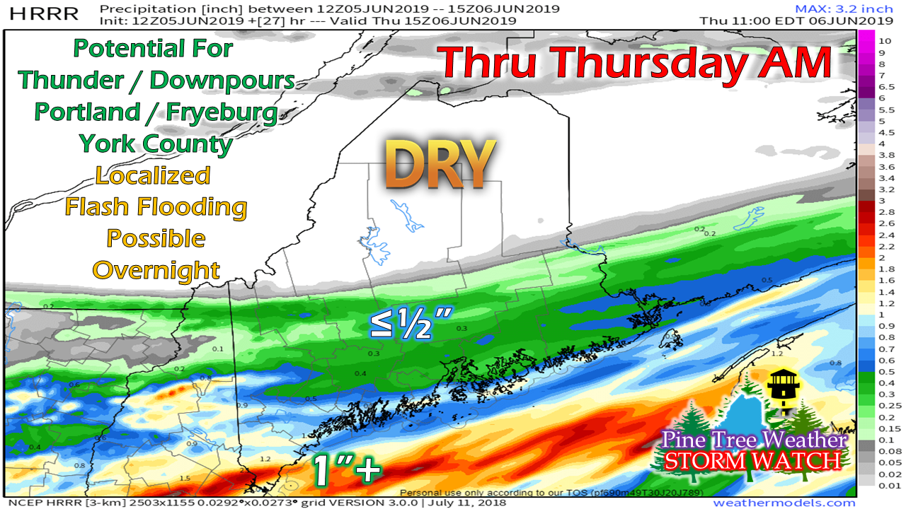
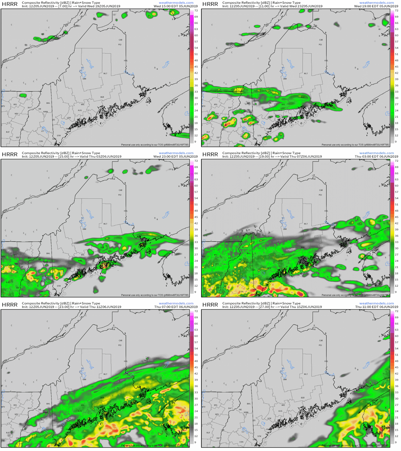
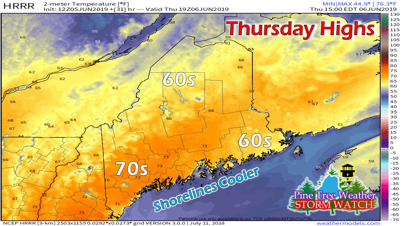
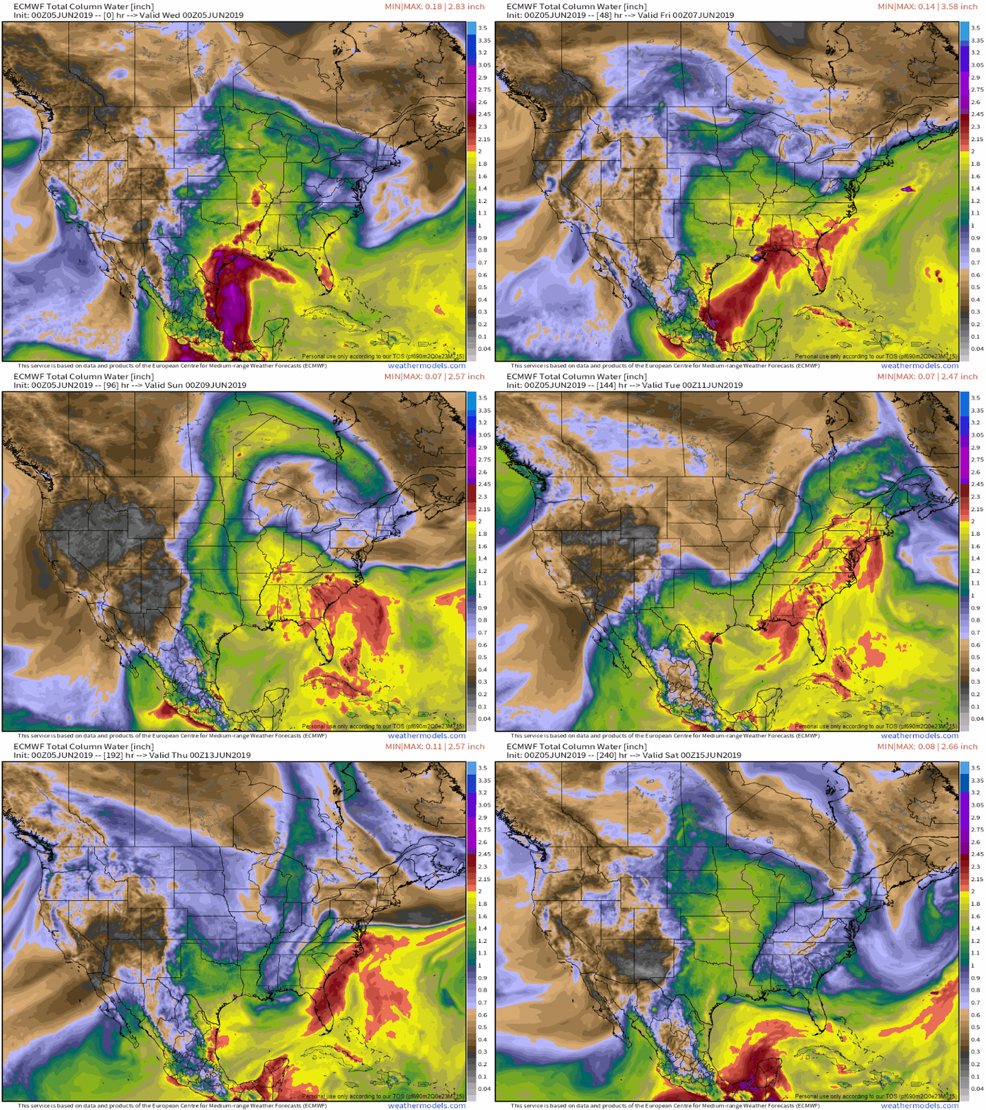
Soggy for southern areas overnightThe frontal boundary has stalled over southeastern New Hampshire as of Wednesday morning. Short term high resolution guidance has come into sharper focus on how this will play out, although there is bit a wiggle room left. The heavier concentration of rainfall appears to be in York County where 1-2" are possible through Thursday morning, with lesser amounts further north. Low pressure rides along the stalled frontal boundary and will bring showers this afternoon into early evening, with steadier rain arriving over night. The rain is on track to end Thursday morning, clearing DownEast areas by midday. Once the rain clears out, a north / northwest breeze will clear the moisture and thicker clouds out the region. Temperatures are expected to be in the 60s for the mountains, north, DownEast and shorelines, with 70s over the coastal interior. Thoughts into next weekThe weekend remains on track to be dry one for most areas. A back door cold front may slip into northern and way DownEast areas Sunday and bring a light shower, but that appears it for potential rainfall. We'll be watching the Gulf of Mexico and southeastern parts of the country early next week as tropical moisture could potentially bring heavy rain to Maine Tuesday. The visit of high humidity will be short lived as drier air quickly works in behind it as we head into the latter part of the week.
Folks looking for hot and humid days will have to wait awhile as higher latitude blocking keeps the region generally cool and damp through much of June. Much like last year, the heat and humidity may arrive around the time for the Fourth as it appears for now. ► ► For the latest official forecasts, bulletins and advisories, please check in with the National Weather Service in Gray for western and southern areas, or Caribou for northern and eastern parts of Maine. Please consider supporting Pine Tree Weather ► ► Your financial donations are much appreciated to keep this site funded and for further development. I sincerely appreciate your support not only financially, but also in sharing my efforts with others. For more information from me, please check the Pine Tree Weather Facebook page as well as my Twitter feed. Always stay weather aware! - Mike |
Mike Haggett
|


