
Humidity climbs through the remainder of the week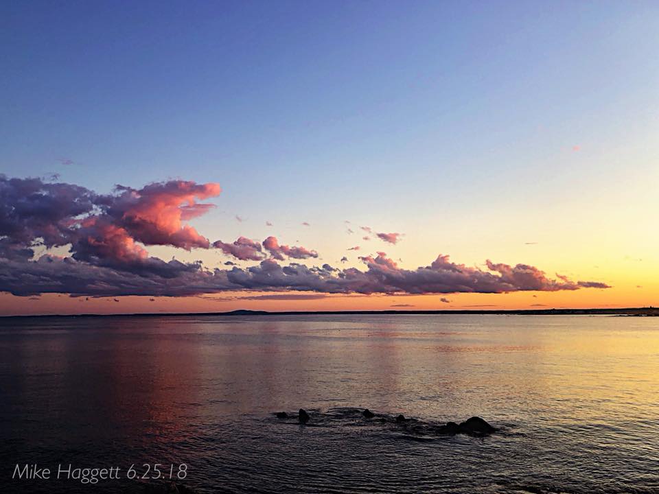 While the region has experienced a few warm days since the snow melted off, we'll add a few more over the next week. Will it be a "heat wave" (three consecutive days of 90°+)? It's possible for some interior areas. The coast is going to be challenged with a south / southeast flow which will keep the shorelines on the cool side. We're still dealing with 56° ocean along the southwest coast, and cooler DownEast. If there was a more southwest air flow, Portland and areas south along the coast would roasting, too. It does not appear to look that way at this point as high pressure offshore is predicted to be a bit too far north in the Atlantic to fry the shorelines. We'll have rain to deal with first...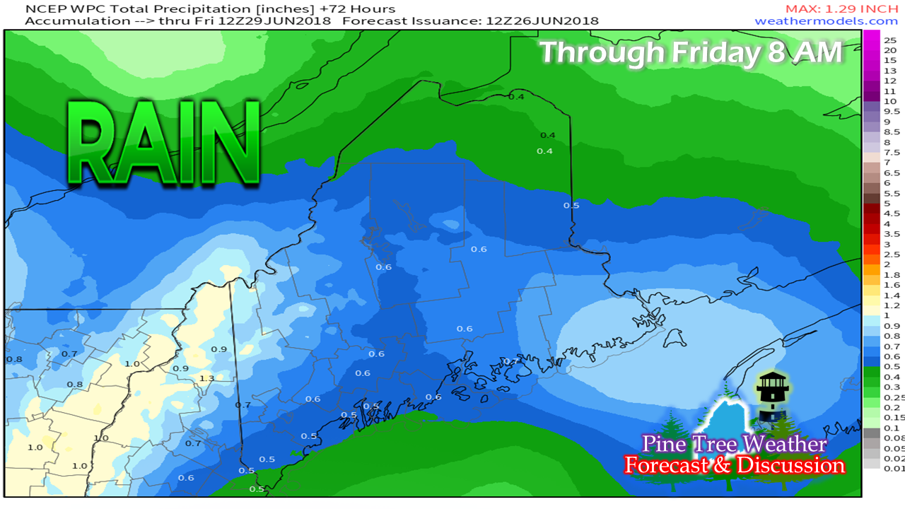 A bit more welcomed news for the abnormally dry areas of the southern and western areas as some beneficial rain is on the way. The Weather Prediction Center's idea here is a good base point for what to expect Thursday. Showers with a few thunderstorms will dominate the day. Some of the showers and storms may bring some locally heavy rain in areas as humidity increases from the southwest. That humidity will continue to build into Friday. As the humidity gradually increases Friday, the instability created from the sun is likely to touch off some scattered showers and thunderstorms, but it does not appear to be washout of a day. Showers and storms have a better chance to form in northern and western areas, with a reduced threat south and east. High pressure then begins to build in on Saturday, bringing the heat and humidity for a visit through early next week. How long will the heat and humidity last?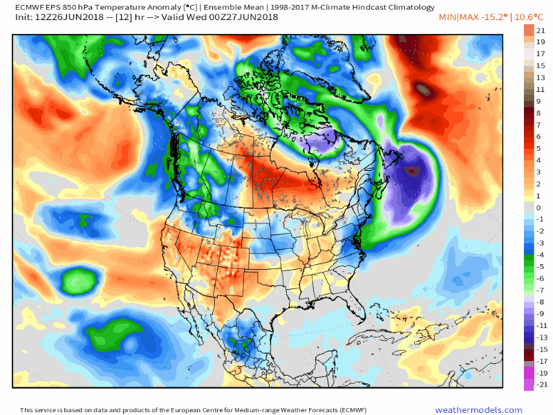 This loop indicates the warm (yellow, orange, red, brown) and the cold (blues and greens) and normal values (gray). After the cool air of Thursday exits to the north and east, the furnace pays us a visit through the weekend. Temperatures cool down somewhat as we head towards the Fourth. Another ridge forms over the Midwest and central Canada and slides eastward for the second half of the week. It will be when that ridge approaches later on next week that we may see a bit of a break from the humidity, but it's a fair bet the region will see dew points in the 60s+ for an extended period through the following weekend. Regional outlook through Sunday The forecast is pretty straightforward for northern and western areas. Southern and eastern areas gets a bit tricky for the weekend. With the sultry, hot air mass building in from the southwest meeting 56° ocean or less, it brings a fog threat for coast. It will all be dependent upon the direction of the onshore wind flow. More south, fog isn't likely to hang on for very long. The more southeast, the fog hangs around. I think the former scenario works for Saturday, although I am a bit concerned for the Penobscot Bay region. Sunday, I am concerned for the entire coast line as high pressure offshore moves further to the north. Time will tell on how this is going to play out. One thing that is almost a certainty is that the coastal areas appear to be the place to go to escape the heat. Whether the sun will be out or be buried in fog for most of the day... stay tuned.
For the latest official forecasts, bulletins and advisories, please check in with the National Weather Service in Caribou for northern and eastern Maine, and Gray for western and southern areas. Thank you as always for your support! - Mike |

Mike Haggett
|


