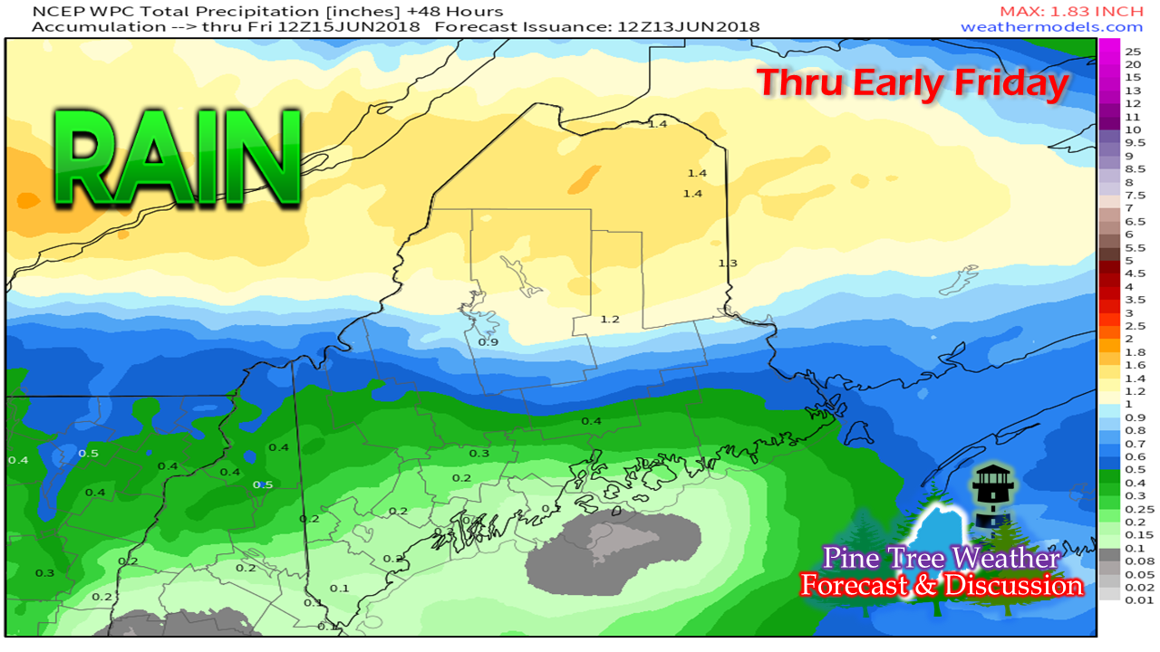
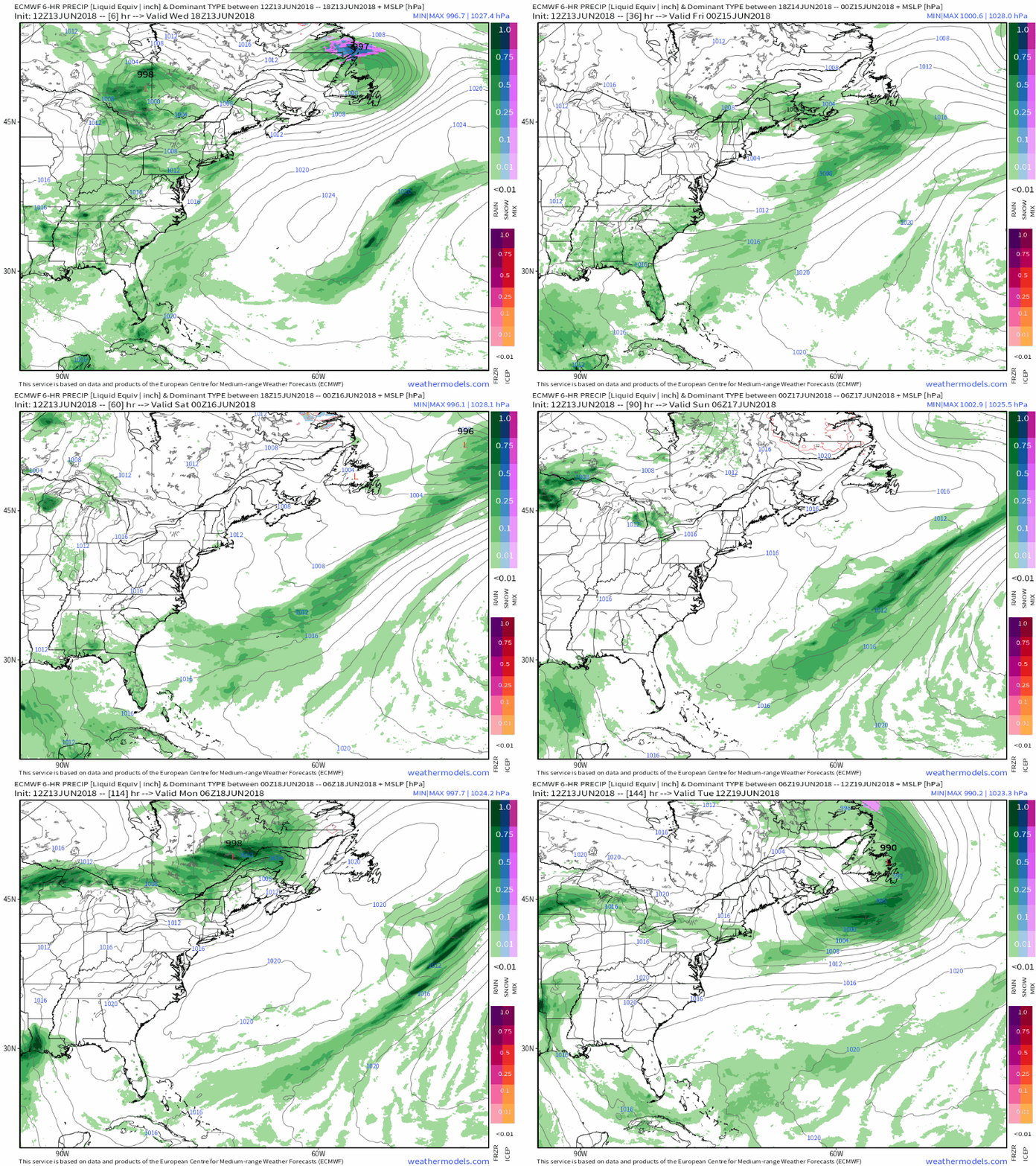
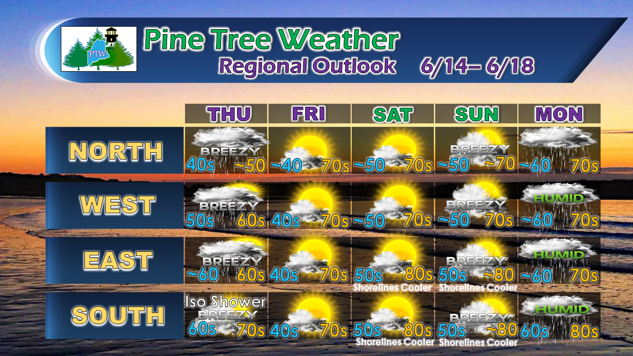
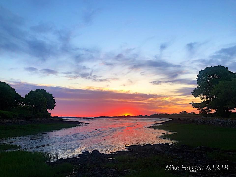
Bulk of precipitation stays northThis idea has been pretty consistent for the last three days. Northern areas are likely to receive most of the rainfall, while parched areas of the south deal with pot luck showers that may bring some measurable rain in some areas, while others get shut out. The further south in the state, the risk of a shower becomes more isolated, where to the north, it is a foregone conclusion. After showers clear early Friday, a nice weekend aheadThe zonal pattern the area has more or less been in since March continues. While the benefit is a nice Maine summer (low humidity, near average temperatures), it certainly does not help the southern and western areas with rainfall deficits. The next chance for shower activity comes again Sunday night into Monday. Humidity levels are expected to rise Sunday evening ahead of the frontal boundary, but will exit to the east almost as quickly as it builds in come Monday afternoon. Regional Outlook Through MondayAfter the front clears Thursday, cold air behind it sets up the possibility for frost in protected areas Friday morning. Guidance is hinting at widespread 80° degree temperatures on Sunday. I am not quite buying that just yet for the northern two thirds of the state, with cloud cover being imperative to reach that level. Monday appears damp for now, but this pattern is somewhat similar to the system coming through on Thursday. The clipper type systems tend to bring more precipitation to the north, while fizzling to the south as the front runs out of moisture. Stillness of the sunrise from Cape PorpoiseLooking at longer term guidance, summer appears to arrive for the region on time (June 21st) as a warm up appears on the way. Precipitation chances are the big question mark at this point. I am not seeing much in the way of humidity from the southwest that hangs around the region for very long. Without that precipitation hose, it's going to be tough to bring any widespread, beneficial rainfall to the areas that need it the most.
Reports of mulch and brush fires are increasing, again. Campers, hikers and bonfire enthusiasts need to pay close attention to the Maine Forest Service and/or local fire departments for permit information indefinitely. Use extreme care with any open burning. For official forecasts, advisories and bulletins, please check in with the National Weather Service offices in Gray for western and southern areas, and Caribou for northern and eastern areas. Thanks as always for you support! - Mike |
Mike Haggett
|


