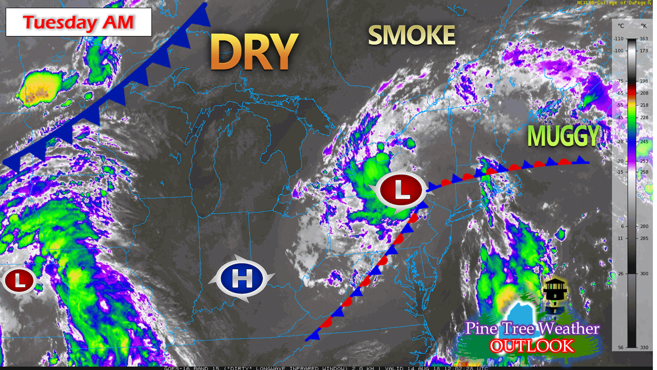
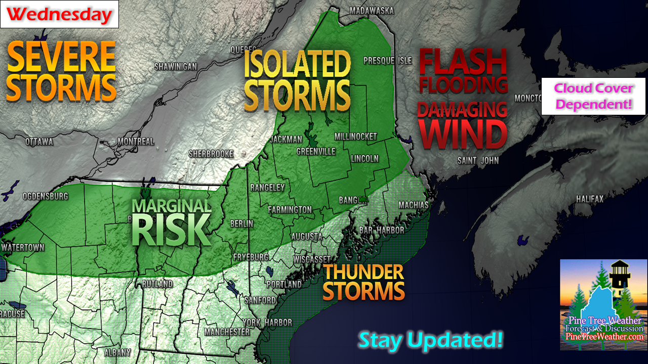
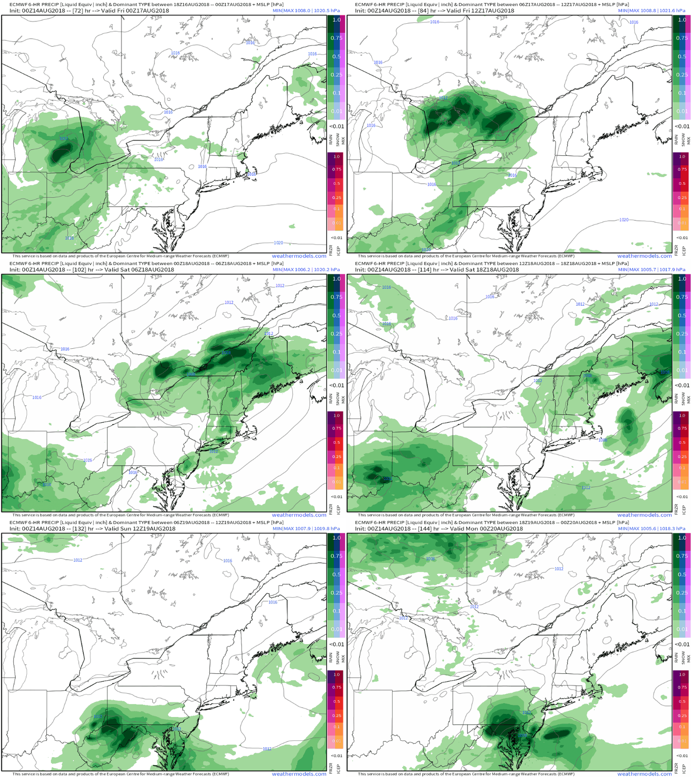
Unsettled through WednesdayWater vapor view here shows out our outlook for the next couple of days. An upper level low is meandering to our west and drawing moisture from the southeast. An onshore flow keeps the coastal plain showery and drizzly for Tuesday. A frontal boundary approaching from the Great Lakes helps to push the upper level low to the northeast on Wednesday. As the upper low passes through, showers and thunderstorms are possible through Wednesday evening. Once the upper low clears, less humid works in from northwest to southeast during the day on Thursday. The sky may appear a bit hazy due to smoke from the wildfires out west. Pending on cloud cover, the sunset Thursday night and sunrise Friday morning could be worth finding a perch to watch. Storm Prediction Center outlook unchangedCloud cover continues to be the main question mark of which areas get storm potential and who does not. The threat is isolated for strong to severe storms to develop, with the best chance for areas away from the coastal plain. Any storms that break out present the the threat for heavy downpours, urban street flooding, ponding on roadways, frequent lightning and potential for damaging wind and hail. Rule of thumb: If the sun comes out in your area, keep your eyes on the sky and ears open for storms to develop. Weekend outlook 50/50After dry days Thursday and Friday, low pressure enters the region Saturday. This appears to be a mainly a scattered shower event with a chance of an isolated thunderstorm along the coastal plain. High pressure takes over for Sunday, bringing with it a pleasant day with comfortable temperatures. Fundraising efforts for Pine Tree WeatherFor many years I have funded Western Maine Weather and now Pine Tree Weather out of my own pocket. It's been a labor of passion to learn the art of forecasting and share my thoughts on it for the people of this great state. After seven years of spending thousands of dollars and countless hours, I have decided that for Pine Tree Weather to continue, I would need financial support to do so. In order to keep the site ad free, pay for the data, graphics and technology this entity requires, I am politely and humbly asking for your help. I have set up a goal of $500 per month, which will pay all of my bills, and to set up a fund to further my weather education through Penn State. With the 2500+ folowers on Facebook and 3100+ followers on Twitter, all I am asking for is a pledge of $1 per month from 500 people. I would rather not go subscription only, or get gimmicky with sales pitches. I understand many of the people in Maine that I serve are on shoestring budgets, hence why I ask for $1 per month. There are a couple of ways you can contribute. You can donate through my Patreon page for a MONTHLY contribution. If you prefer to send a check, you can message me through Facebook or Twitter to get my address. I would sincerely appreciate your support! Stay updated!As always, stay in touch with the National Weather Service for the latest bulletins, advisories and forecast updates through the Caribou office for northern and eastern Maine, or the Gray office for western and southern areas.
Thanks again for all of your support! - Mike |
Mike Haggett
|


