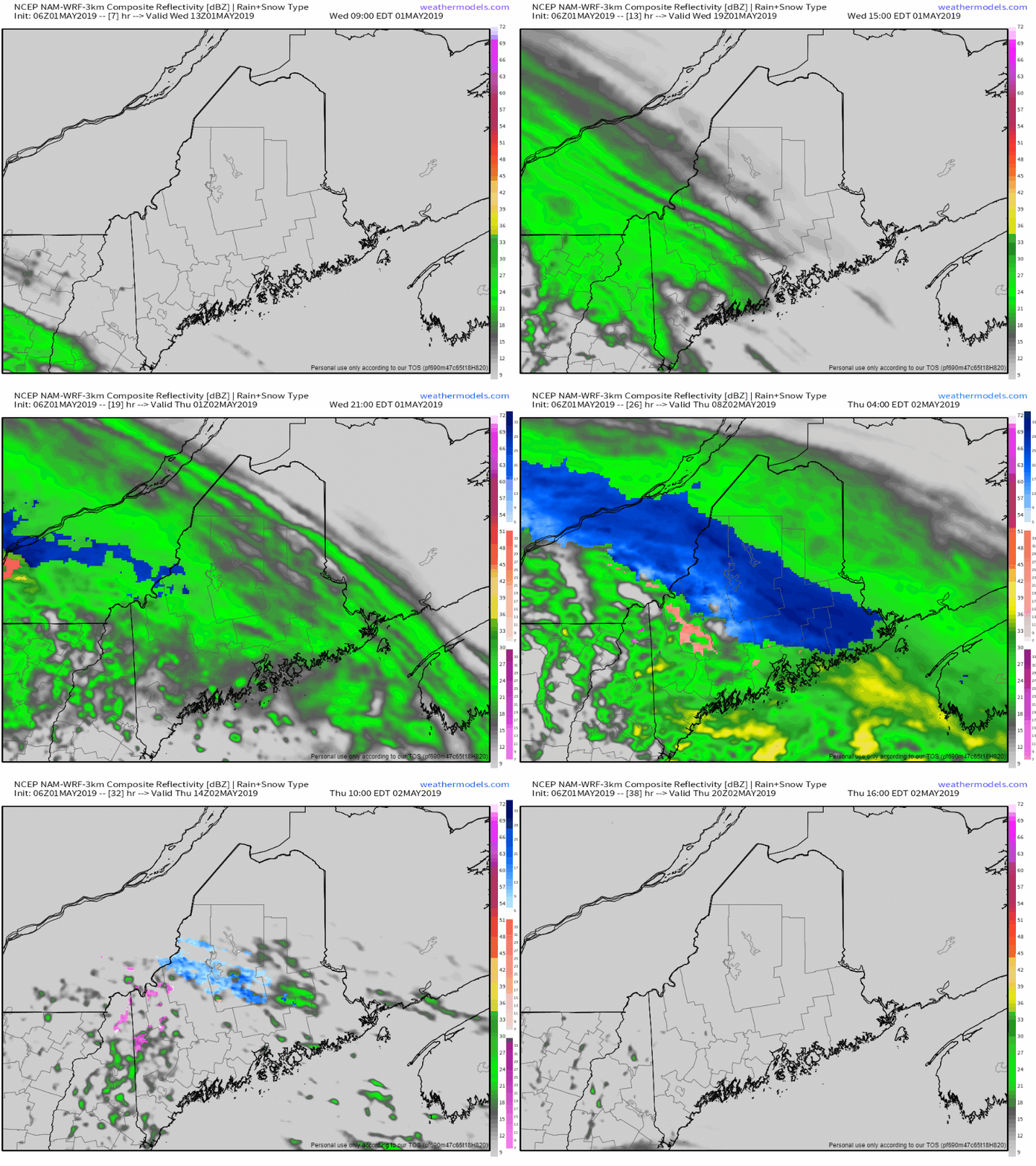
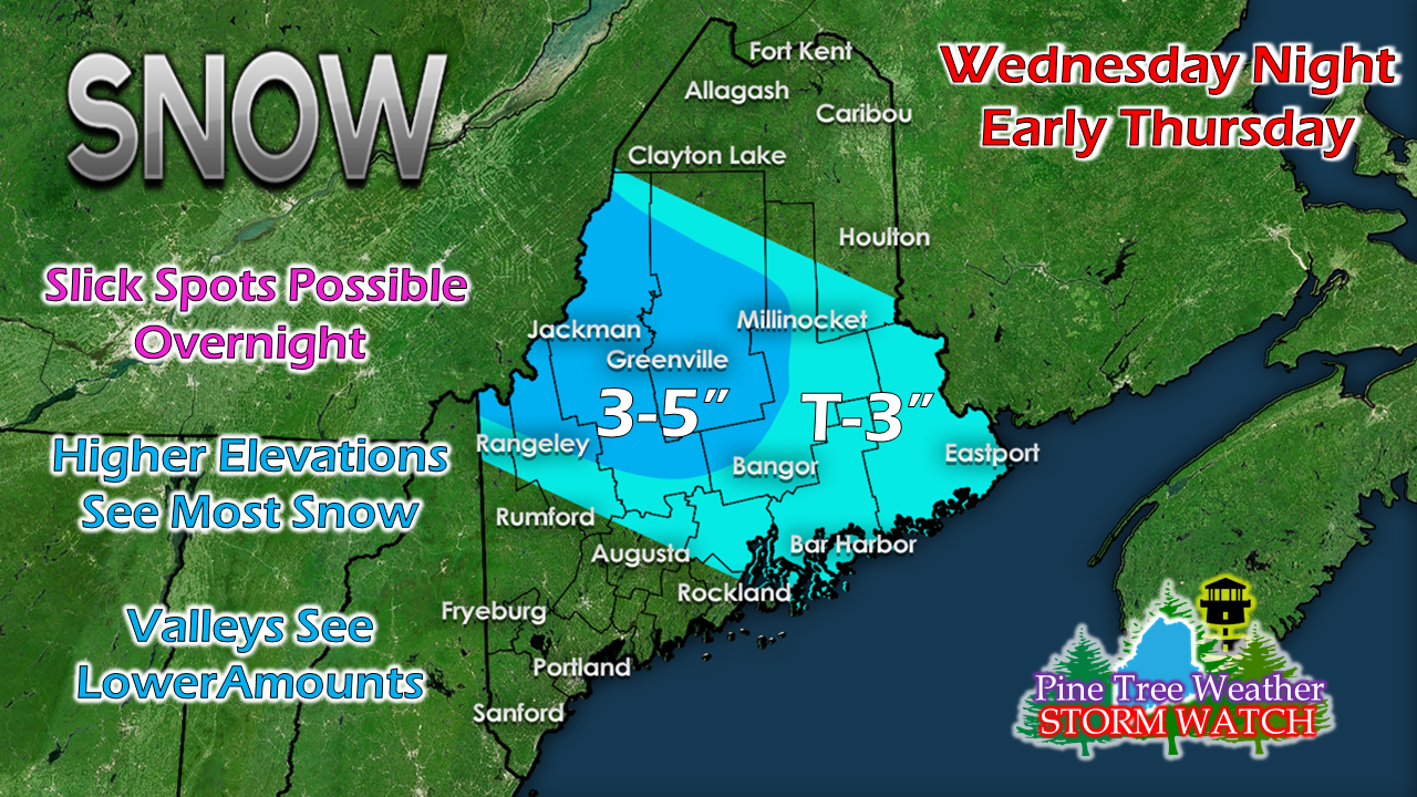
Welcome to MayWith cold air aloft comes the threat for snow, and that is exactly the situation for the mountains and central highlands of the state for Wednesday night into Thursday. A warm front will try to nose into the region during the day on Wednesday before hitting a road block to the northeast tonight. While most of the area will see rain at the start, as cooler air filters in, expect higher elevation areas to change to snow, and possibly some light freezing rain before ending Thursday morning. Amounts dependent on elevationThe plows and sanders may have to come out in the mountains to deal with this one. For the rest of the region, grassy surfaces may see some light accumulation, but shovels do not appear necessary. There could be some areas of slick travel Thursday morning, especially over the interior.
► ► For the latest official forecasts, bulletins and advisories, please check in with the National Weather Service in Gray for western and southern areas, or Caribou for northern and eastern parts of Maine. ► ► Your financial donations are much appreciated to keep this site funded and for further development. I sincerely appreciate your support not only financially, but also in sharing my efforts with others. Always stay weather aware! - Mike |
Mike Haggett
|


