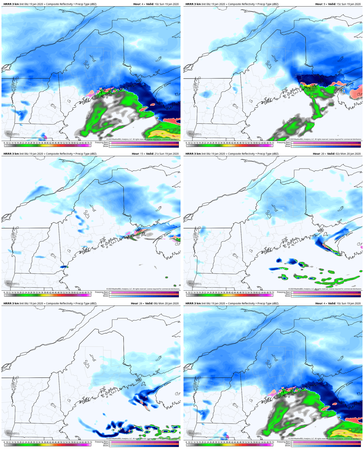
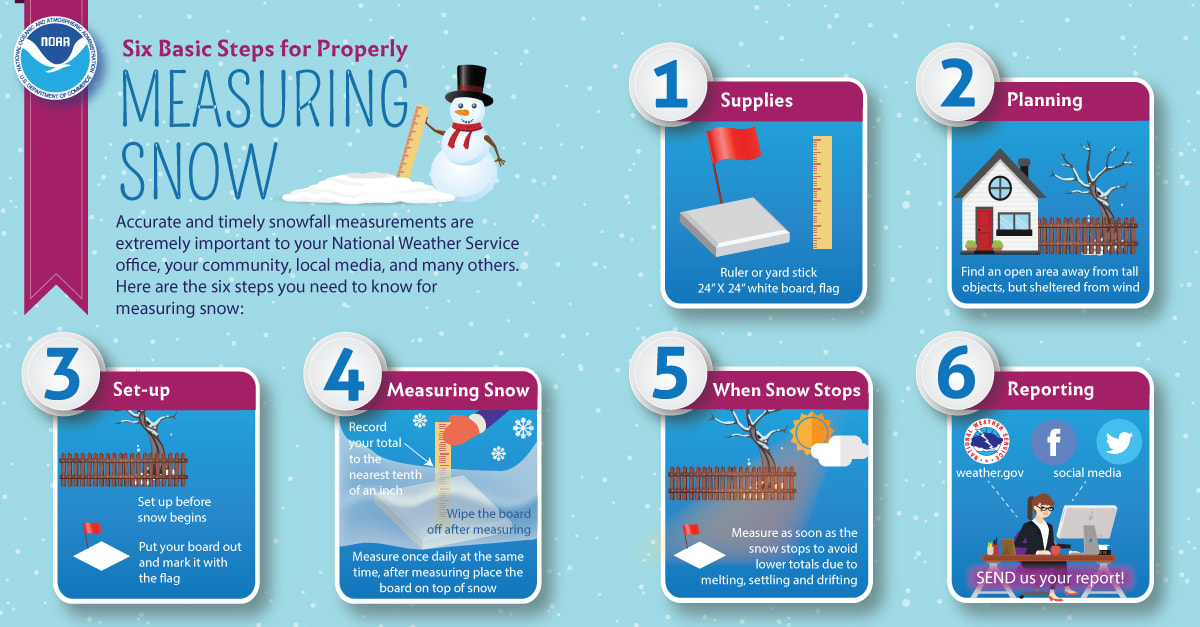
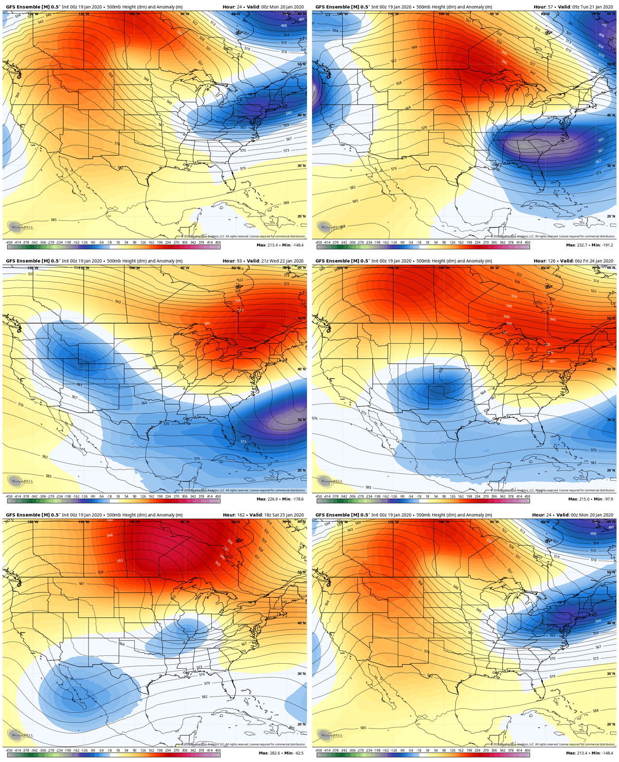
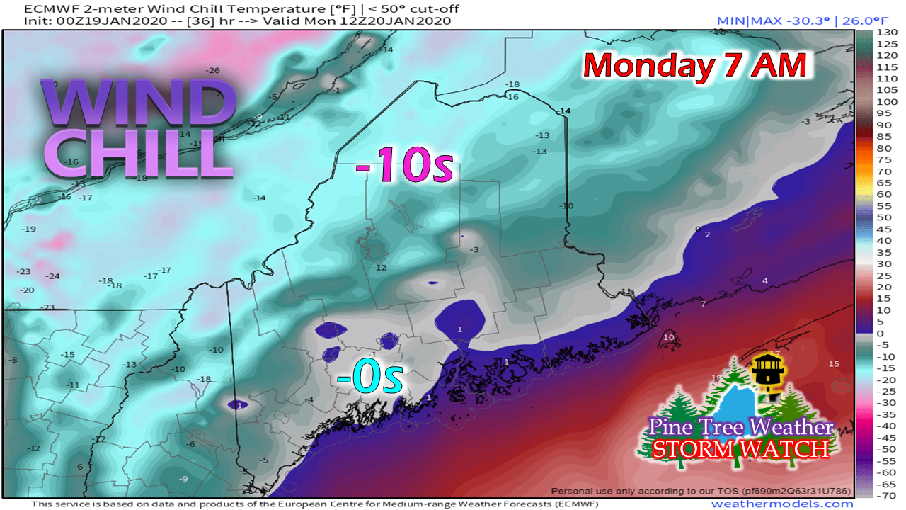
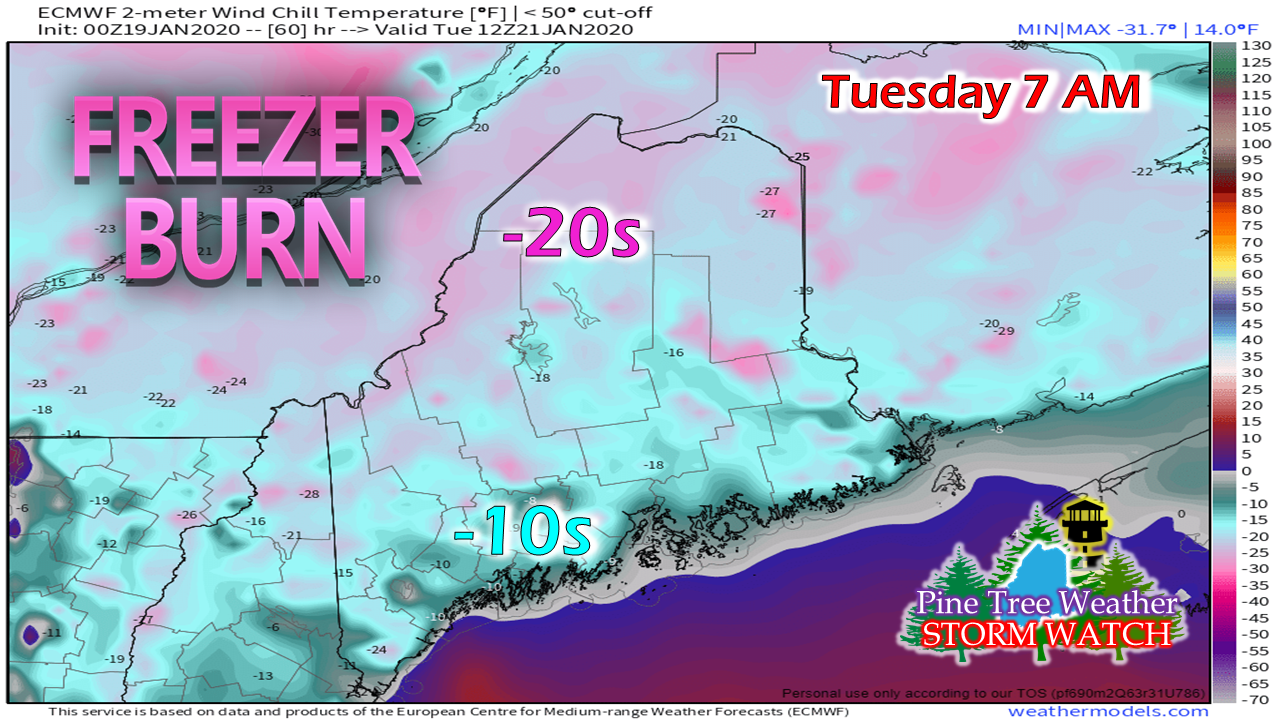
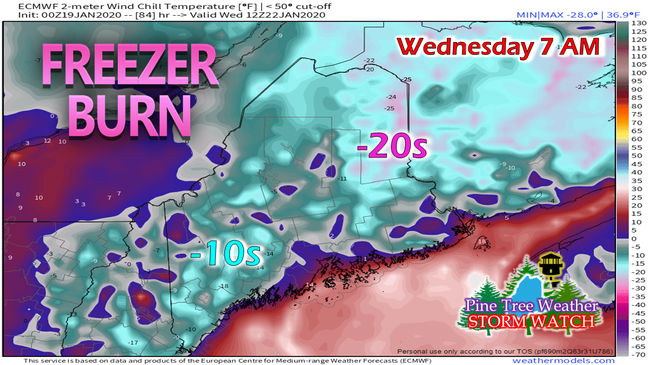
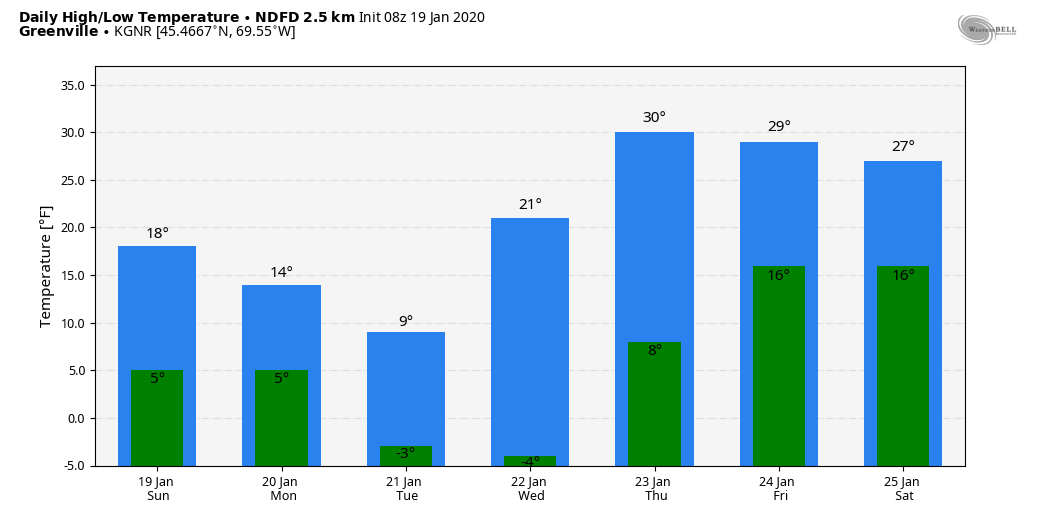
Storm moves eastFor southwestern areas, the bulk of the storm is over. Western areas appear to wrap up by mid morning, although snow showers will continue in the mountains into tonight. Northern areas see the snow taper to snow showers this afternoon, ending overnight. The Bangor region sees snow end by mid-morning, but DownEast areas may not see the final flakes until around sunrise Monday morning. Any snow reports / photos would be appreciated today! Outlook for the weekIt will be cold to start the week, but high pressure will be the dominant feature in our weather pattern through Friday as a strong ridge set up. A trough dips down under the ridge from the western part of the county and moves eastward later in the week. Our next widespread storm appears for now to be next weekend. It's too early to tell what sort of impacts or precipitation that will bring. As the Sunday storm departs, the newly formed coastal low that moves east intensifies, and drags down another round of bitter cold with it. Tuesday morning appears the coldest, although the wind is expected to settle down. Many areas start the day below zero, and with the lightest breeze comes double digit wind chill values. Wednesday morning appears to be the last bitter cold morning before temperatures moderate heading into later in the week. Temperature outlook for Greenville shows the bitter cold mornings and late week modification. While the ski country may not get much help from Mother Nature this week, it appears to be good snowmaking weather. ► ► For the latest official forecasts, bulletins and advisories, please check in with the National Weather Service in Gray for western and southern areas, or Caribou for northern and eastern parts of Maine. Your help is needed to wrap up funding needs!► ► Due to a revised budget there is a $155 shortfall for the year ahead! You can help keep Pine Tree Weather going with a donation of ANY amount now through VENMO @PineTreeWeather, a monthly donation on Patreon or messaging me on Facebook or Twitter to send a check in the mail. Thank you for your support!
For more information from me, please check the Pine Tree Weather Facebook page as well as my Twitter feed. Always stay weather aware! - Mike |
Mike Haggett
|

