
Just enough accumulation to slick the roads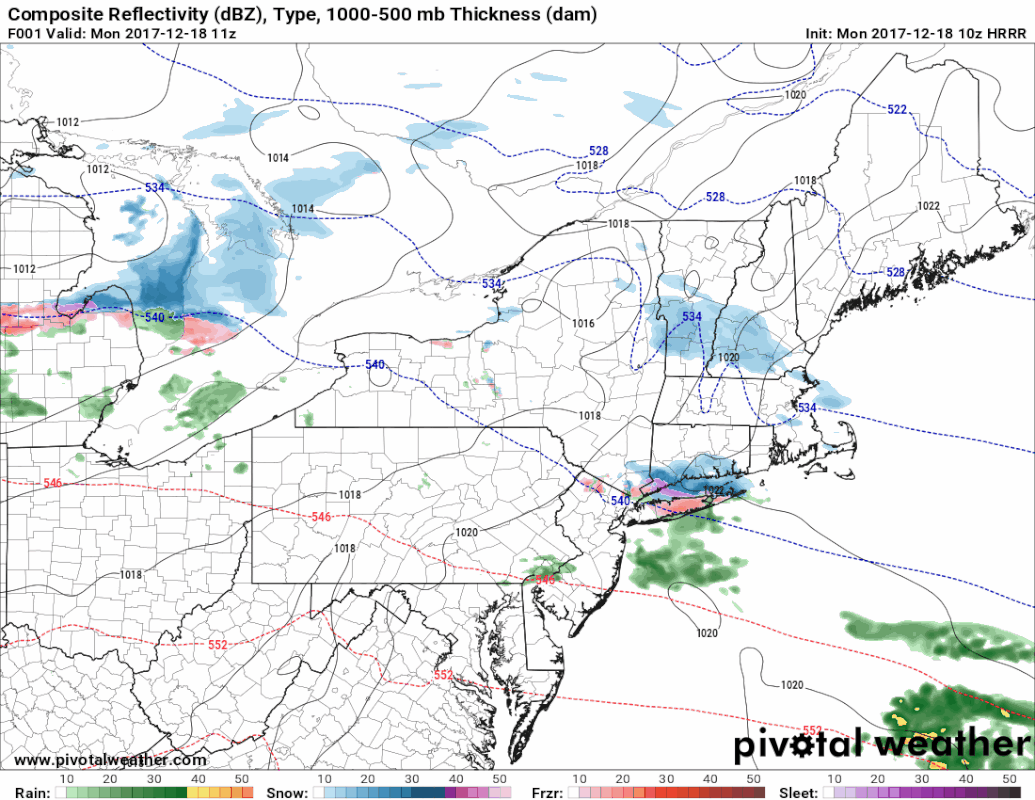 This is the 09z (4 AM) HRRR model futurecast idea of what to expect through 10 PM Monday evening. Warm air overrides the cold aloft bringing a bit of moisture with it. Due to the deep cold in northern Maine, I expect that area to stay clear of snow accumulation for the day. The main focus with this wave will be for southern, western and eastern areas. Warm air will try to nose in at lower levels this evening over southwestern areas, which may bring a period of light freezing rain and/or drizzle. Precipitation tapers off for southern areas by late evening, with the remaining snow shower activity exiting the MidCoast in the wee hours of Tuesday. High temperatures for the day appear to range in the teens for northern and western areas, 20s for the south and east. The warmer temperatures for southwestern coastal areas are likely to happen this evening as the warm air tries to work in off the ocean. Northern areas get their snow Tuesday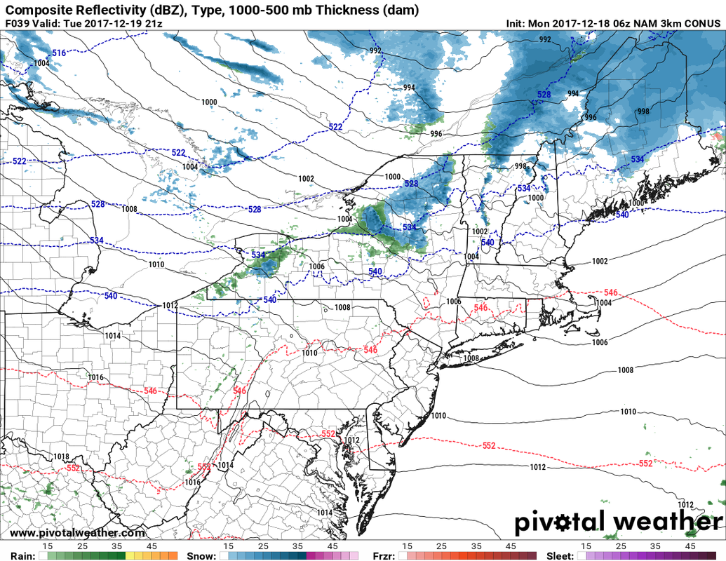 There is a lull in the activity for western areas overnight until around mid-morning as a cold front approaches from the northwest. Snow showers and perhaps a bit a wintry mix flares up heading for the noon hour. Snow showers take over the north, overspreading that area in the late morning to early afternoon. Areas from Parsonfield to Portland northward are likely to see some snow showers develop, but the main accumulation areas will be in the mountains, north and eastern areas from the Airline northward. Precipitation tapers to scattered snow showers Tuesday evening, with squalls remaining in the forecast for the mountains through Wednesday morning. Total snowfall outlook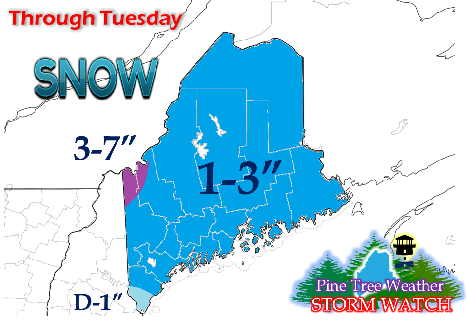 A general 1-3" is expected for most of the region through midnight Wednesday. Southern York County may see lesser amounts due to a period of light icing Monday evening. The higher amounts from this event are from around Magalloway Plantation on up to Coburn Gore. The ski hills could see higher amounts in that 3-7" range as well by the time it over Wednesday.
The next storm appears on the way for Friday into Saturday. For now that appears to be a mixed bag event, with rain, snow, sleet, and freezing rain possible. More on that as the week unfolds. - Mike |

Mike Haggett
|


