
No changes to projected accumulations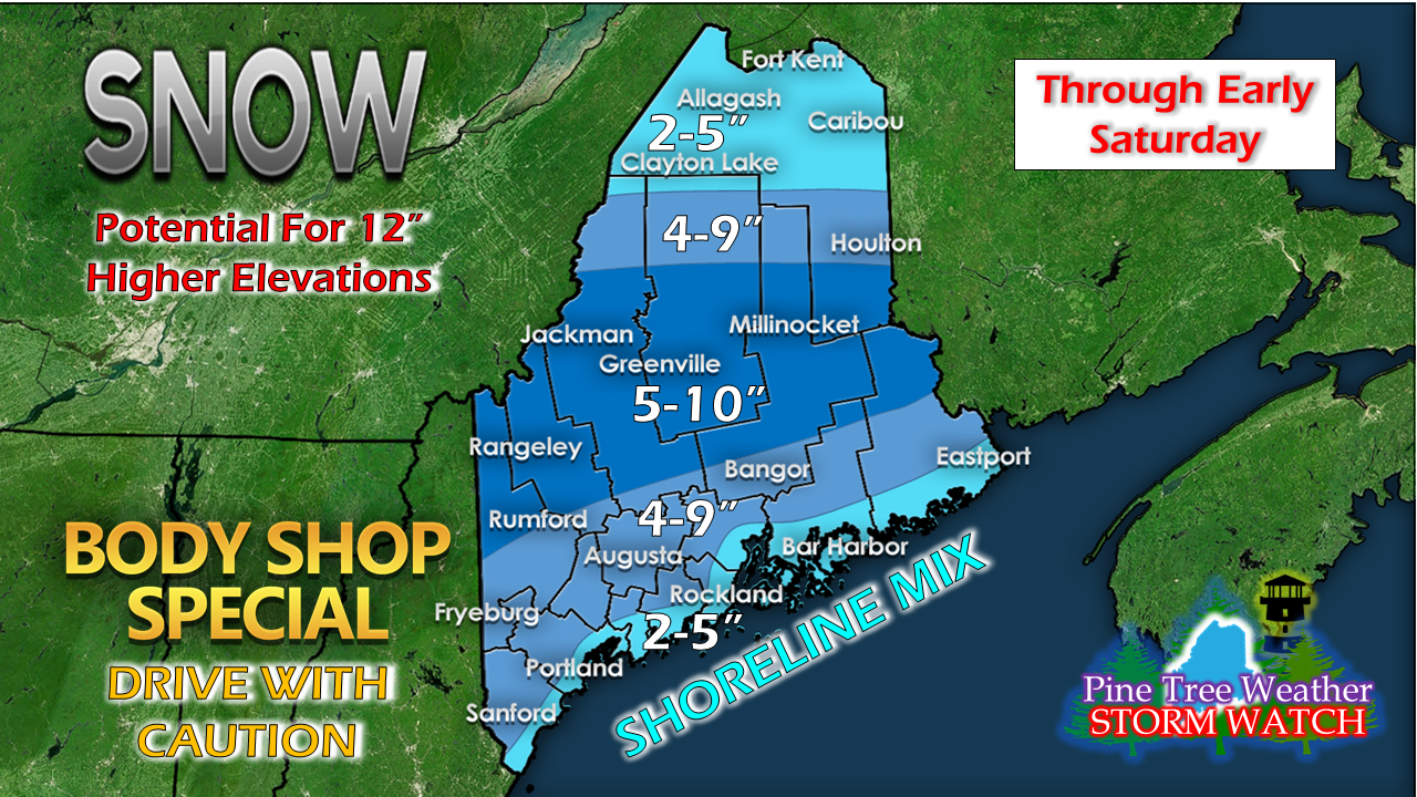 Looking over guidance today, models are dug in on their ideas so they really didn't offer anything new. Storm may track a bit south closer to Nova Scotia, which may cut down snow totals for the rooftop. This will be a fluffy snow for much of the interior due to the cold air locked in place. Closer to the coast, folks could be waking up to a slushy, sticky mess along the Maine Turnpike / 295 corridors and along Route 1 to Eastport. Roads could be tricky from Houlton south by 8 AM, and will stay that way through the morning for western and southern areas, and all day for northern and eastern areas. There is always the chance for heavy bands to flair up and for storm over performance to occur in areas. Coastal areas may see some sleet and rain along the immediate shoreline which could knock down snow totals. As I mentioned previously, a couple of miles may be the difference from next to nothing to a half a foot of snow pending on how this all sets up. Timing remains on track No real changes on the timing of the onset of snow along with the duration of it. This is a quick moving storm, but it has plenty of moisture with it. Western and southern areas could get a thump of snow in the 1-2" per hour range in the wee hours of Friday heading toward daylight. The orange you see in the loop is potential for sleet, but it may not amount to much. Once the first charge of snow works through the area, a backside front will bring another round of snow showers Friday evening before tapering off in the wee hours of Saturday. Higher elevations may see flurries and squalls linger into Saturday morning. Wind a bit of a concern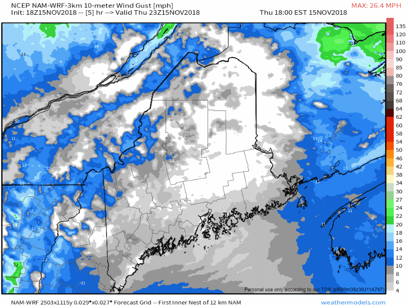 The region has dealt with its share of wind lately, but this event does not appear to be as strong as the recent storms have been. It will be breezy along the coast during the day which may cause reduced visibility at times with heavy snow. Wind will pick up out of the west/northwest on the backside of the trailing front early Saturday, which may cause some blowing and drifting of snow in powder areas. Wind should begin to settle down toward Saturday evening. Start of the work week a bit stormy, too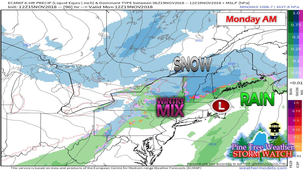 The mountains could see some snow showers Saturday night into early Sunday as a weak clipper slides through the region. Sunday appears to be generally void of precipitation during daylight hours. A clipper with a bit more energy will bring another round of a snow / mix as we head into Monday morning. I'll update on this and provide more detail on Saturday. Your support is valued and appreciated!Please consider making a donation to keep Pine Tree Weather going through the year ahead. My data cost expense is increasing. The operation is 75% funded and needs your help to get through the winter. You can set up a monthly pledge on my Patreon page or send me a message from the Facebook page or direct message on Twitter to get my address to mail a check or set up bill pay.
For the latest official forecasts, bulletins and advisories, please check in with the National Weather Service in Gray for western and southern areas, or Caribou for northern and eastern parts of Maine. For more information from me, please follow the Pine Tree Weather Facebook page and my Twitter feed. Always stay weather aware, and thank you for your support! - Mike |

Mike Haggett
|


