
Be preparedFor those of you who caught my post Monday, I mentioned that it would be wise to make sure you are ready for this one with all the basic necessities, and make sure the generator is ready to go, if you have one. This isn't the apocalypse, but any storm with heavy wet snow and wind is likely to cause impact. The pieces of the storm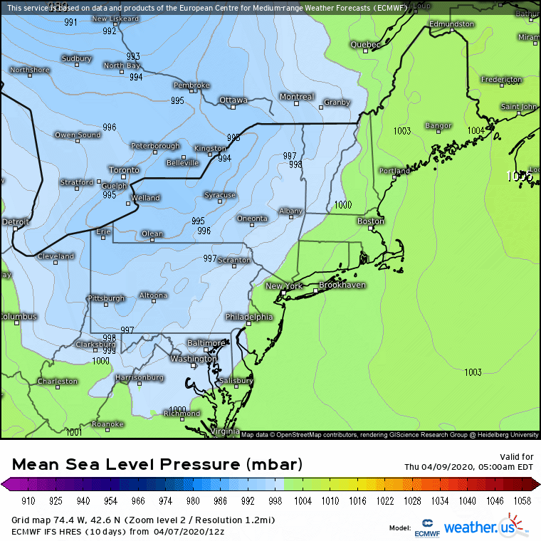 As I have been following model ideas with this storm, it's rather impressive how quickly this one comes together. I mentioned on Twitter this rapid development is an "absolute explosion", and meteorologically, it is. A hat tip to James Sinko of NWS Caribou for doing some quick research and indicating the record low mean sea level pressure for April: Portland 973.2 mb, Bangor 973.9 mb, and Caribou 971.6 mb. Given the track, the Bangor record may be rewritten with this one. The secondary low begins to form over Massachusetts Thursday afternoon, then intensifies as it hugs the Maine coast and then steers into New Brunswick. With a storm bombing out with this intensity, it will make a mess out things. 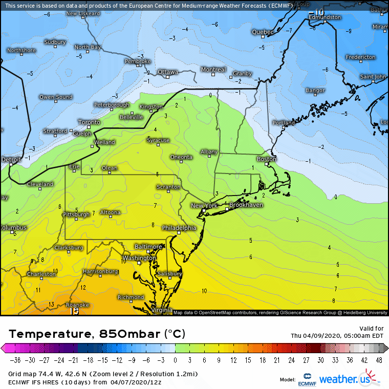 The interesting part of this one is that the core of the storm starts out warm and then phases to a cold core as it moves northeastward. This sets up the potential for thunder rain and thunder snow. This also adds intensity, and assists its rapid development. 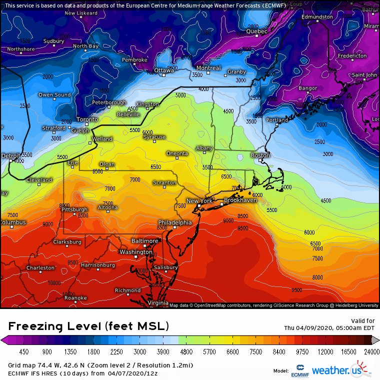 As the storm moves up the coast, it will drag down cold air with it. This will change areas of the western foothills from a rain/snow mix to snow as the storm moves up the coast into Penobscot Bay and beyond. The cold ceiling will negate any surface temperature above 32° and will bring accumulating snow. 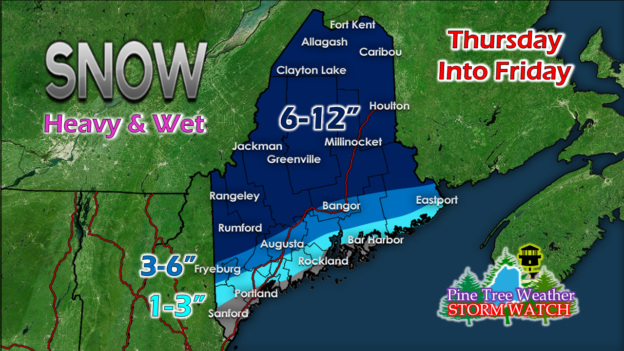 This my first idea on snowfall. In all, there is 1-2" of liquid involved with this storm. Higher elevations are looking at double-digit snowfall. For most areas, this snow will stick to everything. As a result, we have to be concerned about wind. 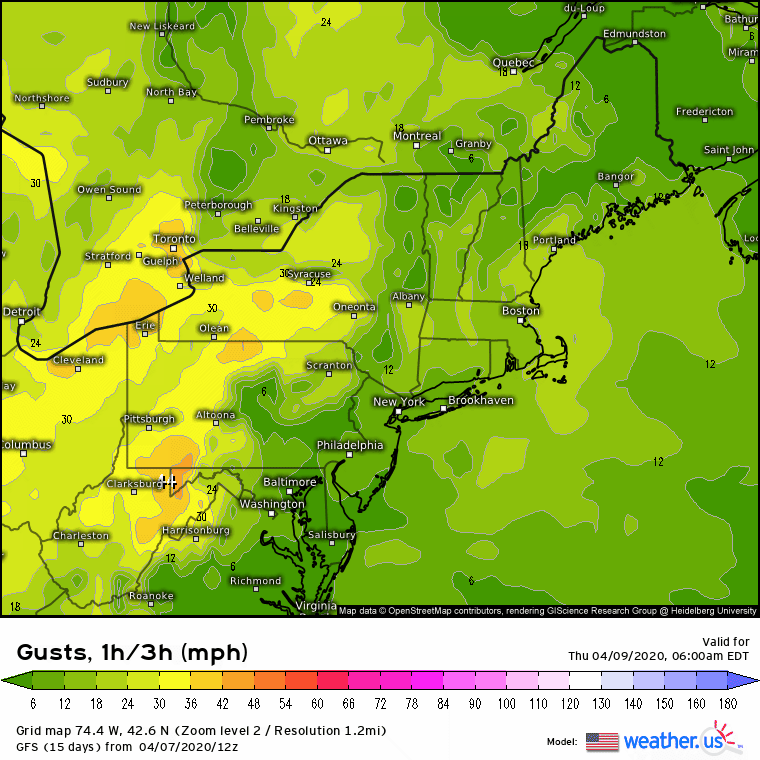 For the shorelines, I am especially concerned with Penobscot Bay eastward. If the storm track comes as billed and hugs the coast and rapidly intensifies, that is going to bring high wind. Gusts 50-60 mph are not out of the question with this. For interior areas where the heavy snow falls, 30-40+ mph is entirely possible. This means power loss. Note that the wind could stay steady well into Saturday. This may slow down restoration efforts. With the astronomical high tides ongoing due to the full moon, expect coastal flooding, splash-over from battering waves and significant beach erosion. 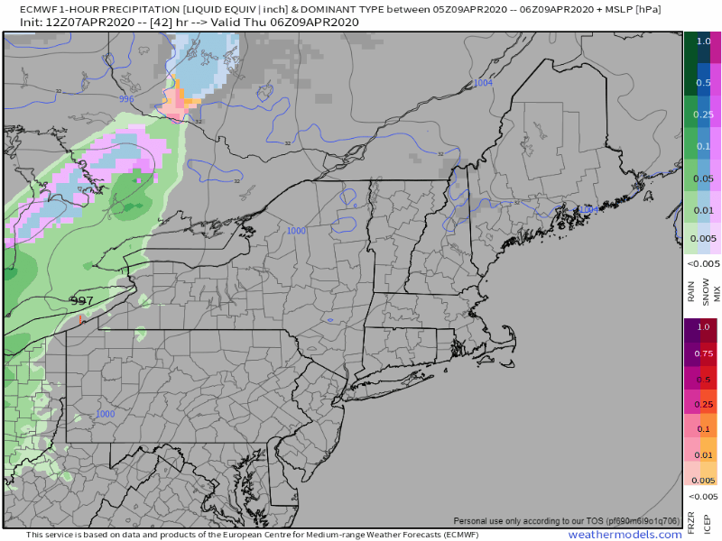 Timing shows precipitation arriving over western and southern areas Thursday morning and spreads northeastward into northern and eastern areas Thursday afternoon. The steadier precipitation ends over southern areas by around midnight Friday. The storm passes by Grand Manan by roughly 2-3 AM Friday, and then stalls over New Brunswick as a result of blocking near NewFoundland. Steady precipitation ends over the rest of the state by that point, but snow showers and squalls will continue. The storm then weakens, and slowly pulls away Friday night, and snow showers over the rest of the state taper off as we head into Saturday morning.
Make sure your storm supplies are where they should be in case you need them. ► ► For the latest official forecasts, bulletins and advisories, please check in with the National Weather Service in Gray for western and southern areas, or Caribou for northern and eastern parts of Maine. Always stay weather aware! - Mike |

Mike Haggett
|


