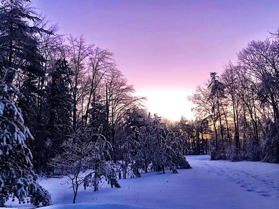
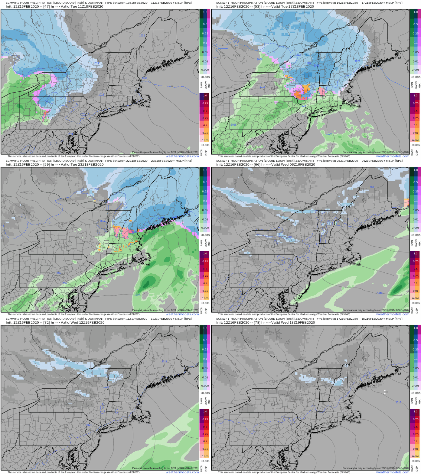
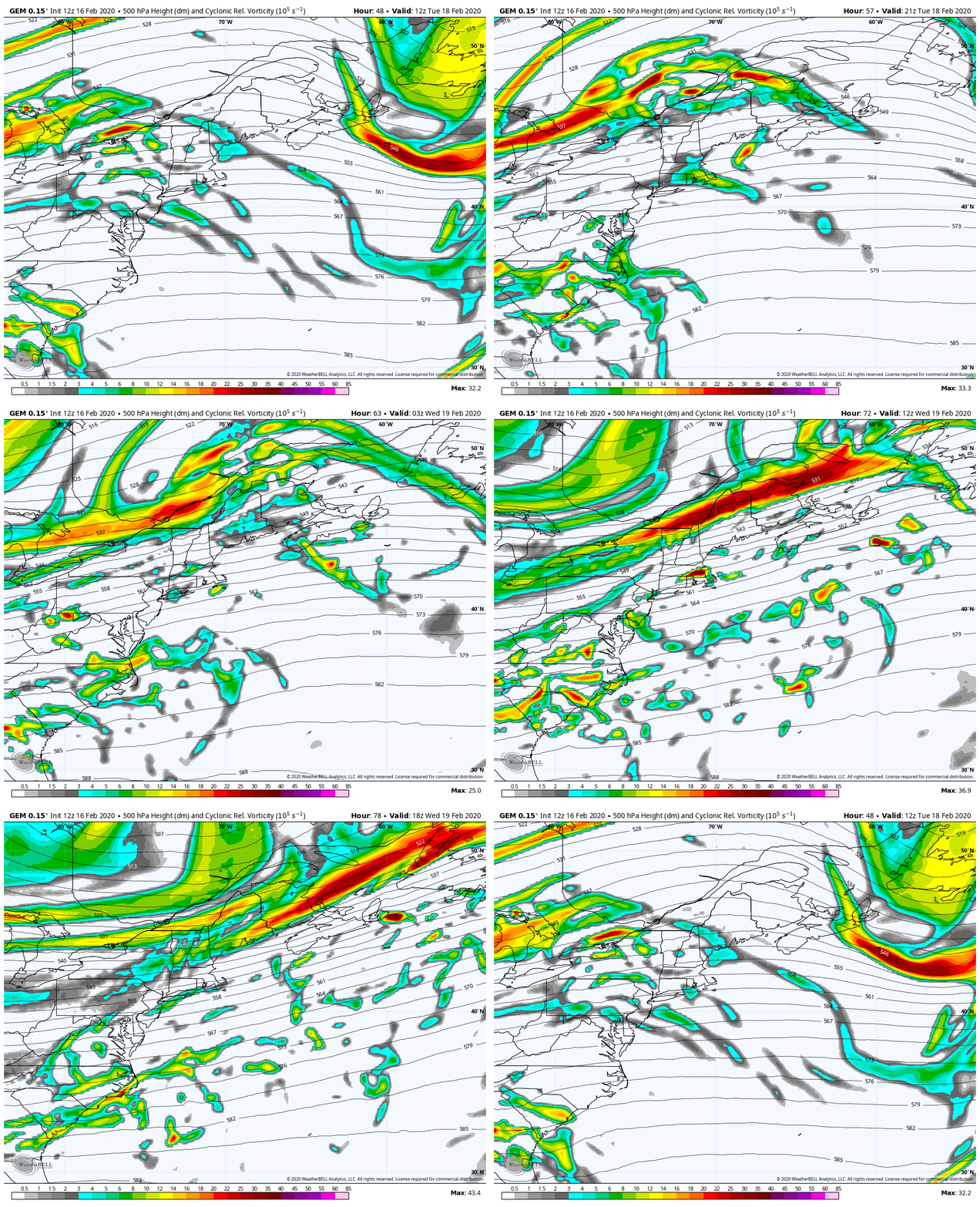
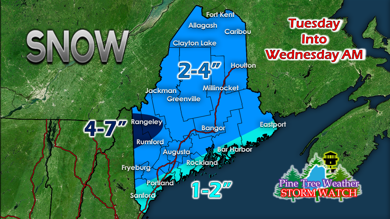
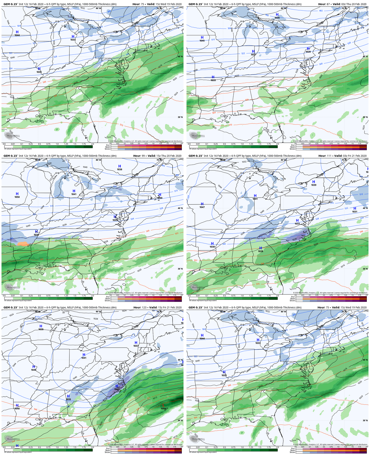
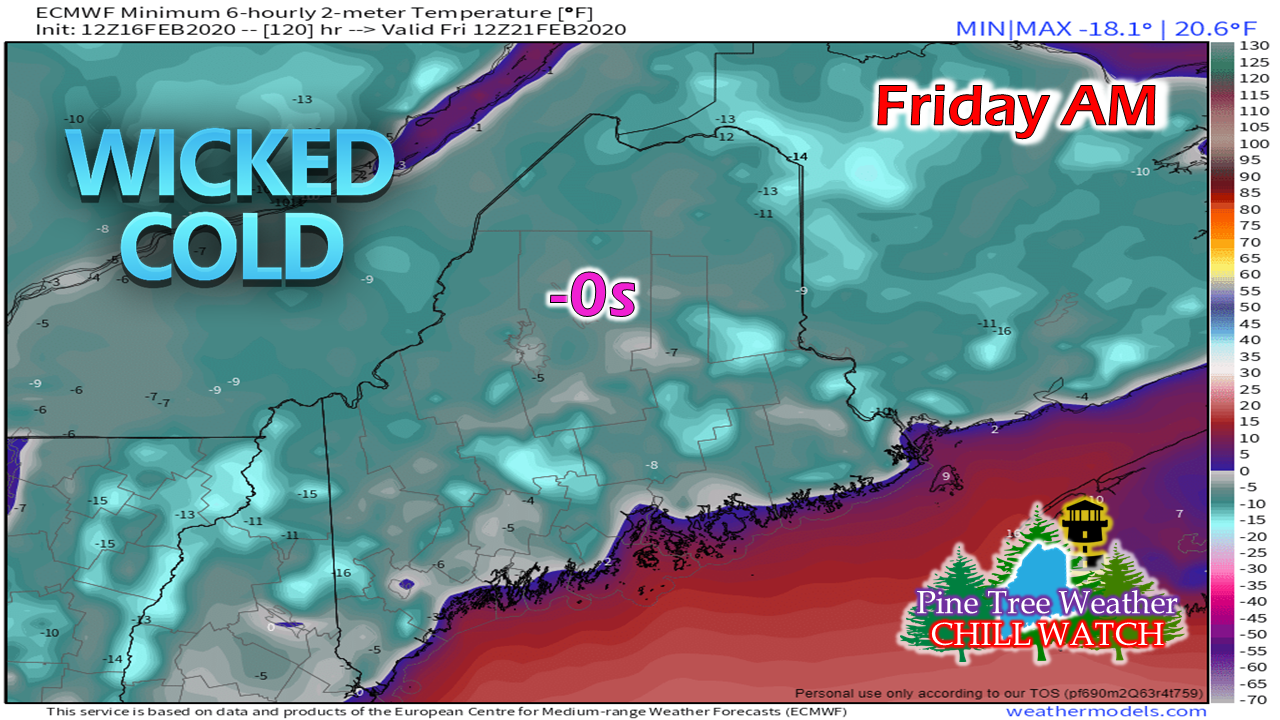
The beauty of it all...I haven't shared much photography lately because I have been busy with work, school, family, recovery, and of course, this. As crazy as life gets, it's mornings like this where I have to take a couple of moments and appreciate the beauty of the region, no matter the season. This picture was taken near my home in Kennebunk just after the ice storm on Februrary 8th. I've navigated through a very busy week of work office relocation, a medical procedure for my wife (she's good), a dead car battery, school, family time and Valentine's Day. When I drop out of site for a day or two, it's because I need to catch up on other things. Rest assured, when we have storm in the pipeline, I will post updates on it. One storm for the weekWe've seen this movie before, and it was as recent as the last storm. This is another case of a Great Lakes low moving up through the St. Lawrence River and bringing a warm front through the region. The storm appears to be a quick mover. The first flakes begin to fly over western areas mid-morning on Tuesday and then overspread the state through Tuesday afternoon. All areas start off as snow. Coastal plain areas may see a brief switch to sleet and/or freezing rain, then change to rain as temperatures rise towards the end. With the exception of the mountains, this storm appears over by late Tuesday night. Snow showers are expected to continue over higher elevations into Wednesday. The only commute to be concerned with will be Tuesday evening. Everyone should be safe getting to work Tuesday morning during the typical 6 - 9 AM drive time. The storm that went through here last week and busted the forecast was what I called a "flat" system. What does that mean? Here's a look at upper level energy. Early in the loop, pieces of energy work through the area and they are fairly weak. The yellow and oranges show stronger areas of energy. There really isn't a whole lot of upper level support for precipitation along the coast. Pardon me if I sound a bit skeptical here, but I am thinking models may be overdoing precipitation output again here. Given the location of the energy and the upper level energy going through on the backside, my confidence is good for the north and mountains. I am questioning the Fryeburg - Augusta - Bangor - Calais region south and east, and may see some changes there. It's a timing on the the storm, the track of the weak low that develops in the Gulf of Maine, and temperatures. This is my idea for now, and I will update this on Monday. Stay tuned. Cold returns after the stormAfter the storm departs, upper level energy will keep some clouds and mountain snow showers around Wednesday. Arctic high pressure settles into the region Thursday, and will hang around into next weekend. Interior areas could see below zero temperatures Thursday morning, and outside of immediate shorelines Friday morning. As the arctic high moves east Friday, temperatures rebound heading into the weekend. This may be the last shot of widespread below zero cold of the season. Many thanks to my donorsAnother donation drive has finally come to conclusion. I love what I do here. Your words of encouragement and appreciation over the years has helped me take this to a whole new level. I want to thank my Patreon donors for their monthly contributions, which helps as the foundation for the budget I operate on. To those who sent checks to me directly or donated via VENMO, I am sincerely grateful for that. One thing I love about Maine is that people rally to help one another. Your trust and faith in what I do means the world to me, and your financial support backs that up. I am humbled by that. Thank you so much for doing your part to keep this operation going. I am happy to report that this operation is fully funded for 2020.
While the operation is funded, I have personally invested an additional $7000 of my own funds into furthering my education to continue to improve my forecasting skills. This comes from the success of the past eight years of Western Maine Weather and Pine Tree Weather, and your support of it. The donation window will remain open throughout the year. For those who have not yet donated this year, feel free to do so at any time when you can financially afford to. No amount is too small. I sincerely, and gratefully appreciate your support. ► ► You can help keep Pine Tree Weather going into the future with a donation of ANY amount now through VENMO @PineTreeWeather, a monthly donation on Patreon or messaging me on Facebook or Twitter to send a check in the mail. Thank you for your support! For more information from me, please check the Pine Tree Weather Facebook page as well as my Twitter feed. Always stay weather aware! - Mike |
Mike Haggett
|

