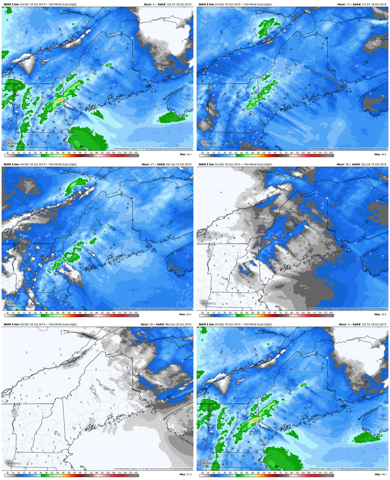
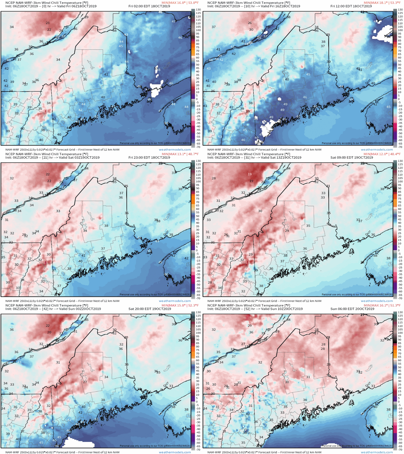
High pressure moves into the regionThe good news for those 130,000 or so in the dark is that there is no precipitation in sight of any concern until the middle part of next week. The storm has passed east into the Canadian Maritimes. High pressure will slowly work into the region. It will be breezy Friday into Saturday as the storm moves further east and the high works in. Gusts in the 15 - 30 mph range are possible, with higher gusts in the mountains, through the first half of the weekend. The breeze may slow down restoration a bit, but it should not hamper recovery efforts a whole lot. It will be a chilly breezeThis sweater weather moving into the region. While pipe freezing won't be a concern for those without electricity, it will a cool one. By Sunday, the wind settles and will take the edge off the chill. and warmer conditions are on the way to start the beginning of next week. For those using generators... do so safely!► ► For the latest official forecasts, bulletins and advisories, please check in with the National Weather Service in Gray for western and southern areas, or Caribou for northern and eastern parts of Maine.
► ► DONATION DRIVE UPDATE - $920 shortfall for the year ahead! You can help keep Pine Tree Weather going with a donation of any amount now through VENMO @PineTreeWeather, a monthly donation on Patreon or messaging me on Facebook or Twitter to send a check in the mail. Thank you for your support! For more information from me, please check the Pine Tree Weather Facebook page as well as my Twitter feed. Always stay weather aware! - Mike |
Mike Haggett
|


