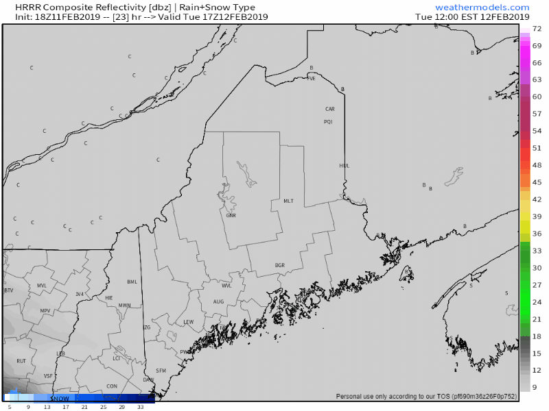
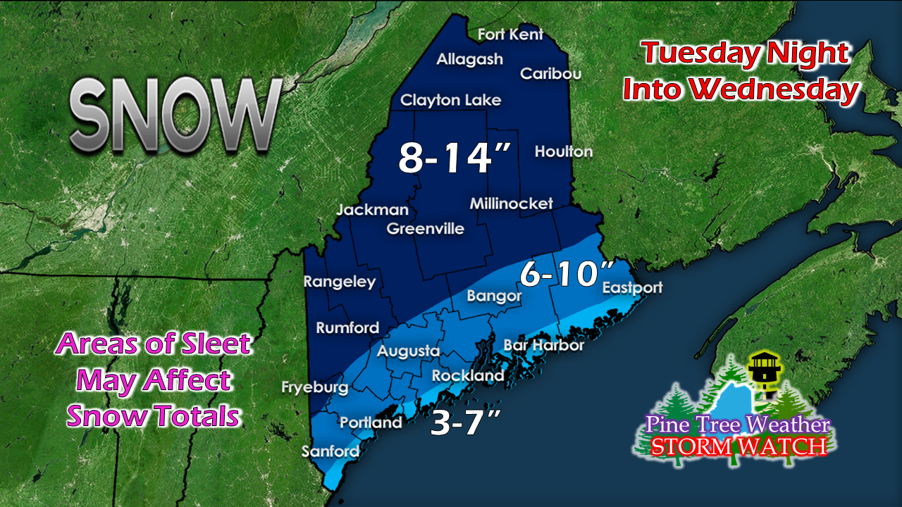
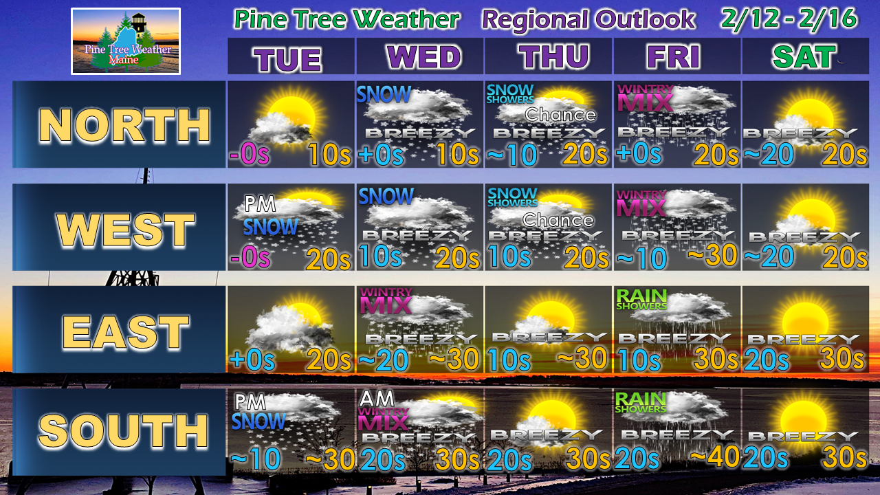
Pine Tree Weather
  • DISCUSSIONS
  • DONATE
  • MAPS
  • NWS BRIEFINGS
  • SATRAD
  • MARINE
  • SNOW / ICE OUTLOOK
  • RAIN OUTLOOK
  • CPC OUTLOOK
  • Kennebunk
  • OBSERVING WEATHER
  • Who We Are
  • My Photography
  • DISCUSSIONS
  • DONATE
  • MAPS
  • NWS BRIEFINGS
  • SATRAD
  • MARINE
  • SNOW / ICE OUTLOOK
  • RAIN OUTLOOK
  • CPC OUTLOOK
  • Kennebunk
  • OBSERVING WEATHER
  • Who We Are
  • My Photography

Storm to bring snow for interior, mix to the coast

2/11/2019

Comments


The latest

Picture
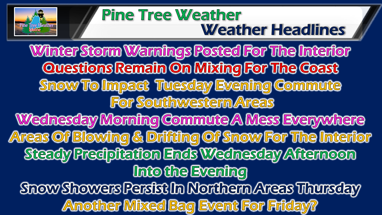
Everyone starts off as snow. There are still questions on how much sleet is going to work in and how far inland it will go. There is also the outside chance for some light freezing rain for the shoreline areas. Wednesday will feature a tough start everywhere. Plan accordingly.

Impacts throughout the Northeast

Picture
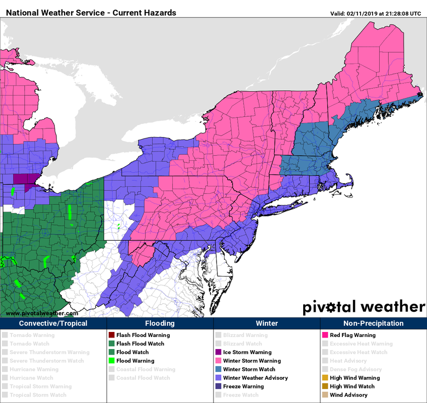
If you are traveling by train, plane, boat or automobile around the northeast Tuesday, expect delays and cancellations. Most everywhere sees wintry precipitation, and wind. If you must travel, allow for plenty of extra time. If flying, check with your airline. 

The onset of snow
​

Picture
Snow begins to overspread southwestern areas Tuesday afternoon. It will expand northeast into Tuesday night and cover the state by early Wednesday morning. For those traveling overnight, expect greasy roads and reduced visibility. 

Snowfall idea tweaked

Picture
I've adjusted the snowfall map to include the northeastern areas in the 8-14" category, and tightened up the 6-10" region closer to the coastline. My idea for the Portland area is 4-8". Away from the shorelines, roughly a half a foot on the low end appears reasonable. How much higher it goes depends on how much sleet works into the area, which begins over southern areas in the wee hours of Wednesday. Northern areas from Jackman over to Millinocket north appear to be snow, which could bring a foot or more. South of that line is where it gets tricky, hence why I have lower end minimum points. 

Snow tapers from southwest to northeast Wednesday afternoon into the evening. Snow showers will continue over the mountains and Allagash region into Thursday. 

Outlook through Saturday

Picture
Looking ahead, Friday is a bit of a question mark. This morning one model idea having heavy rain statewide, but that idea shifted this afternoon, so I will stick with my original idea of mix to rain potential posted here Sunday evening.

I will update on that as well as well as the impending storm Tuesday morning. Check Facebook if no update here. 

 ​► ► For the latest official forecasts, bulletins and advisories, please check in with the National Weather Service in Gray for western and southern areas, or Caribou for northern and eastern parts of Maine.

For more information from me, please follow the Pine Tree Weather Facebook page and my Twitter feed.

► ► Your financial donations are much appreciated to keep this site funded and for further development. 

I sincerely appreciate your support not only financially, but also in sharing my efforts with others.

Always stay weather aware! 

​- Mike
Comments
    Picture

    Mike Haggett
    Kennebunk, ME

    Certified Weather
    Forecaster
    Penn State '21

    American Meteorological Society

    National Weather Association

    Weather-Ready Nation 
    Ambassador
    ​
    ​SKYWARN-CWOP

    Matthew 19:26


    Support
    Pine Tree Weather

    DONATE

    Picture

    Picture

    Picture

    Picture

    Picture

    Picture

    Picture

    Picture

    Picture

    Picture

    Archives

    April 2023
    March 2023
    February 2023
    January 2023
    December 2022
    November 2022
    October 2022
    September 2022
    August 2022
    July 2022
    June 2022
    May 2022
    April 2022
    March 2022
    February 2022
    January 2022
    December 2021
    November 2021
    October 2021
    September 2021
    August 2021
    July 2021
    June 2021
    May 2021
    April 2021
    March 2021
    February 2021
    January 2021
    December 2020
    November 2020
    October 2020
    September 2020
    August 2020
    July 2020
    June 2020
    May 2020
    April 2020
    March 2020
    February 2020
    January 2020
    December 2019
    November 2019
    October 2019
    September 2019
    August 2019
    July 2019
    June 2019
    May 2019
    April 2019
    March 2019
    February 2019
    January 2019
    December 2018
    November 2018
    October 2018
    September 2018
    August 2018
    July 2018
    June 2018
    May 2018
    April 2018
    March 2018
    February 2018
    January 2018
    December 2017
    November 2017
    October 2017

    RSS Feed

Proudly powered by Weebly