
One to be remembered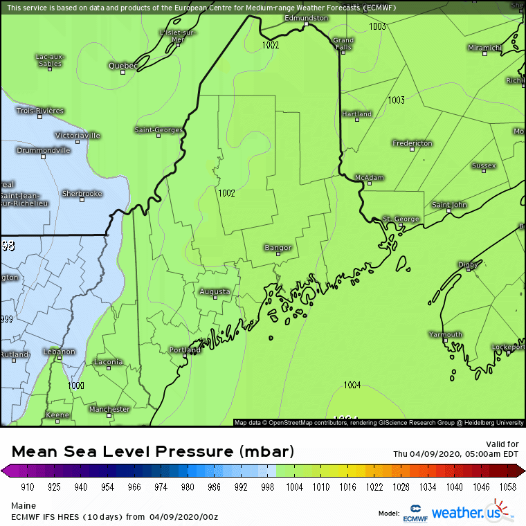 The pieces of the storm continue to come together and it is an impressive one. The storm is still on track to rapidly intensify, and with the strong blocking high off NewFoundland, the cold that will supply will bring the punch. It will be a rough afternoon and evening ahead, and for all but southern areas, linger in to Friday. I expect a record low pressure reading for April to be set. This storm will go into our memory banks and remembered in the years ahead. 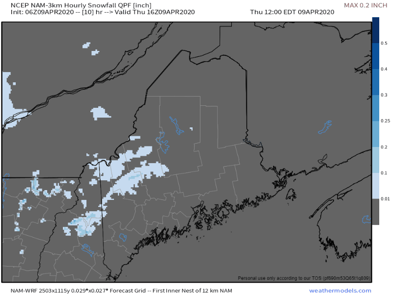 With the rapid intensification comes heavy amounts of snow and rain. Snow fall amounts depicted here could range 1-3" per hour. This will bring whiteout conditions on the roads over western and central areas late afternoon and evening. No matter the surface temperature, the intensity of the snow fall will make it accumulate quickly. After that big charge and landfall of the surface low, the storm begins to occlude, which will weaken the intensity of precipitation. Timing remains on track for precipitation to end over southern areas by the wee hours of Friday morning. Snow showers & squalls will continue over the rest of the state through Friday afternoon. 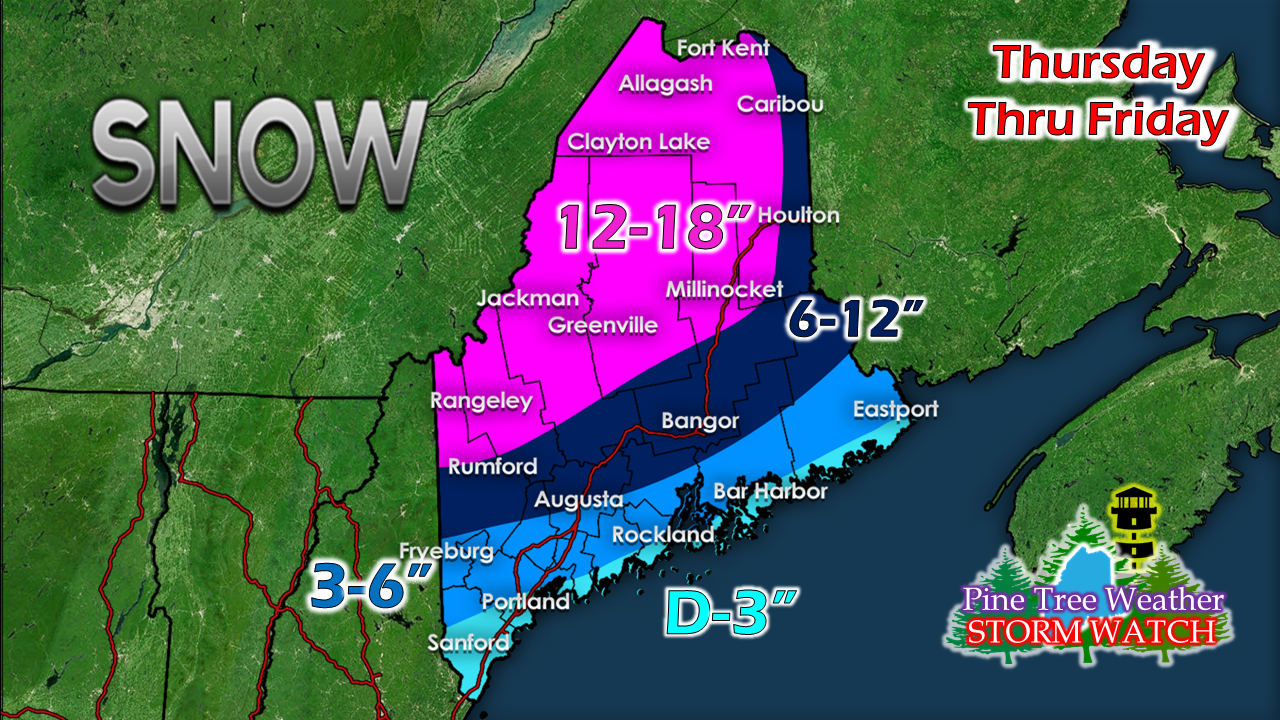 With the atmospheric temperatures crashing earlier, this brings projected snowfall totals up a bit. Far southern areas of York County may only get wind and rain from this event, but could get snow showers on the backside overnight which could bring a dusting of snow. The snow will be a heavy, wet type for most. The further north and away from the storm, the more powder. 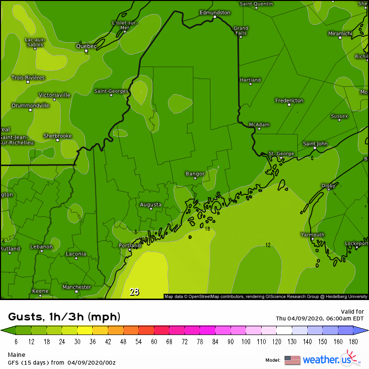 Wind gusts of 40-60 mph are possible for MidCoast areas eastward. While there are wind advisories posted in that region now, they could end up being High Wind Warnings as the day progresses. It's on the fine line. Expect power outages where ever snow sticks to surfaces, and for MidCoast and DownEast shorelines. The aftermath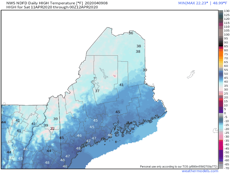 There is nothing like a spring snow after a warm up which snow plows tear up gravel driveways and lawns. As I have been saying over the past couple of days, do the minimum amount of snow removal you can with this one. After a cool day Friday as the storm lingers, temperatures rise through Tuesday. 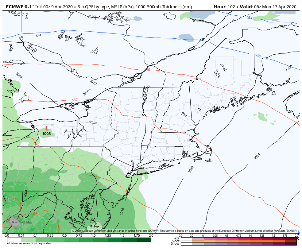 By Tuesday, this snow that comes will be all washed away. We'll have to monitor potential flooding with the rain on the way to start the week on Monday.
Please be aware of changes in the forecast, and stay updated. Follow on Twitter @WesternMEwx for updates throughout the day. ► ► For the latest official forecasts, bulletins and advisories, please check in with the National Weather Service in Gray for western and southern areas, or Caribou for northern and eastern parts of Maine. Thanks as always for your support! - Mike |

Mike Haggett
|


