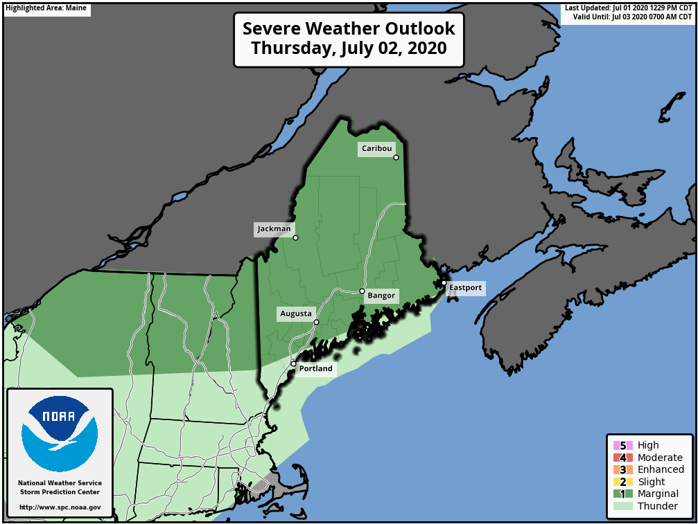
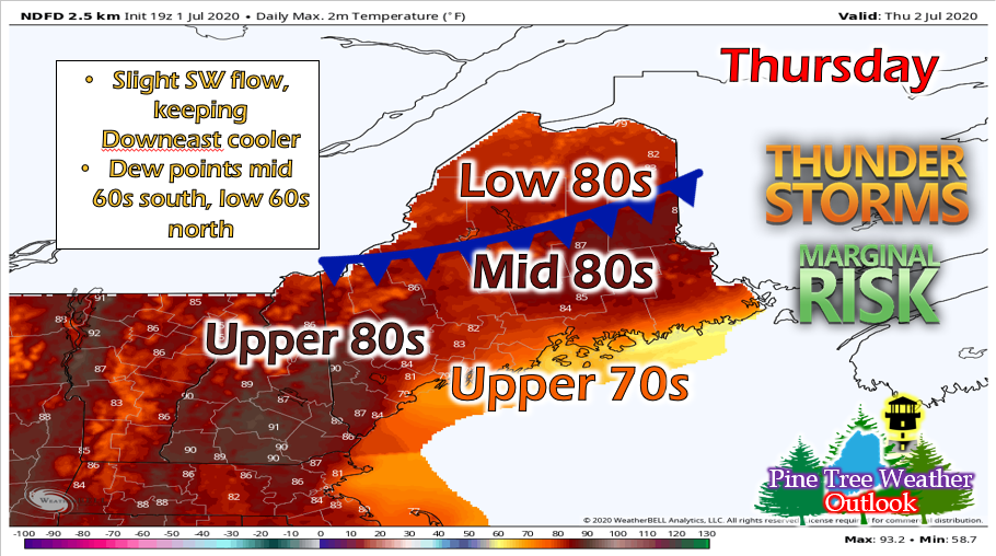
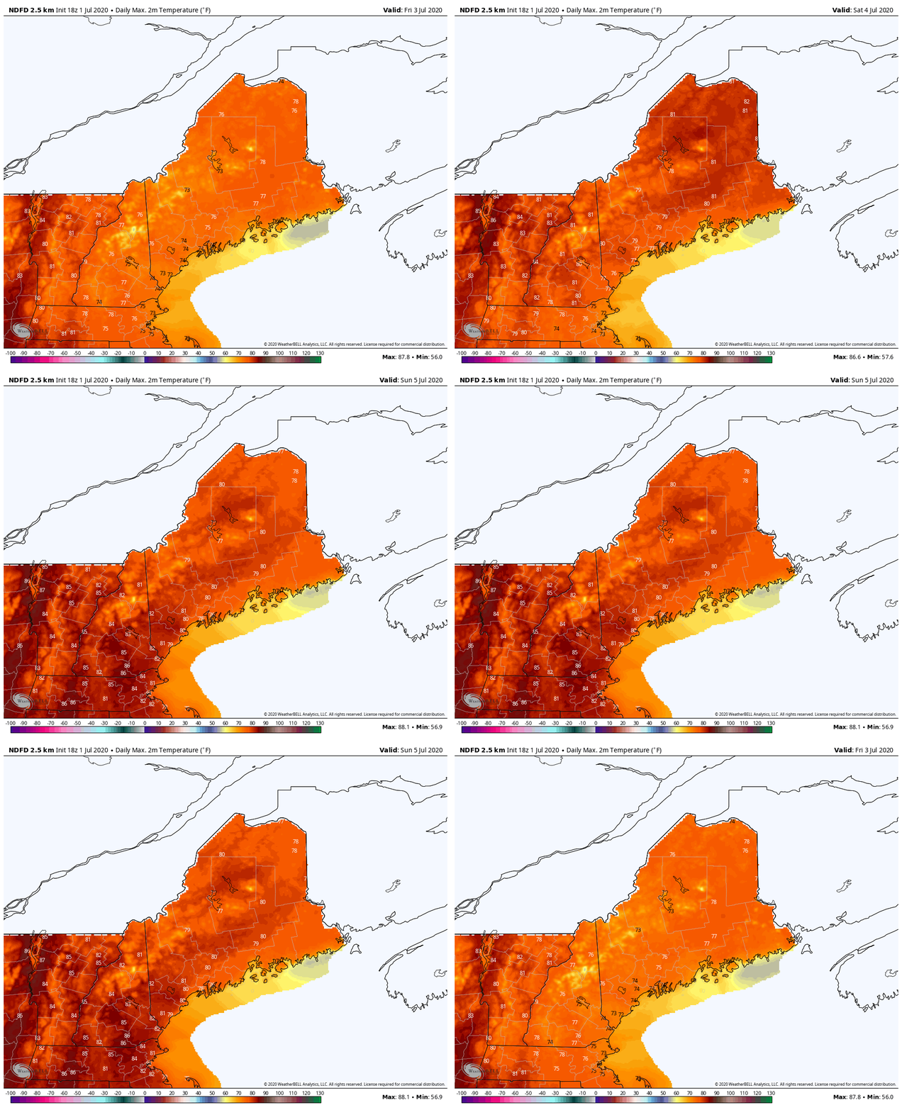
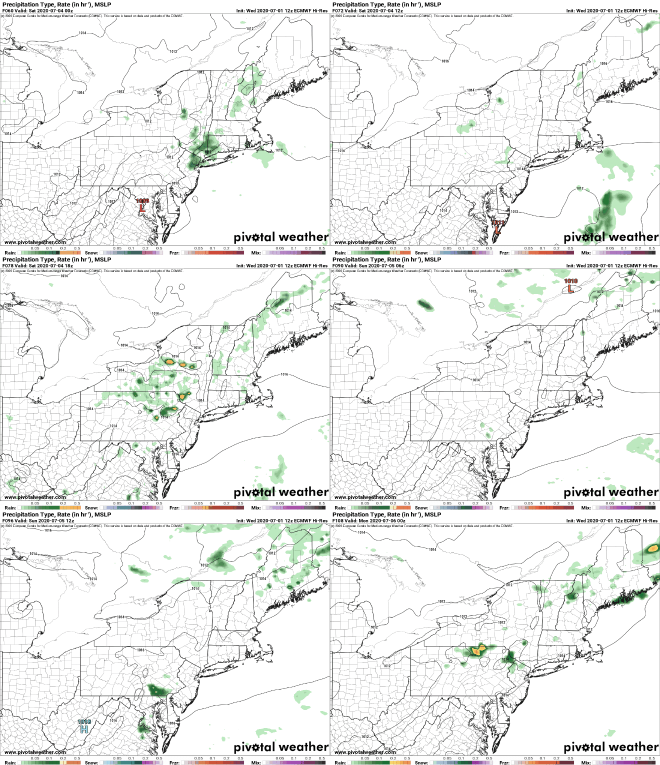
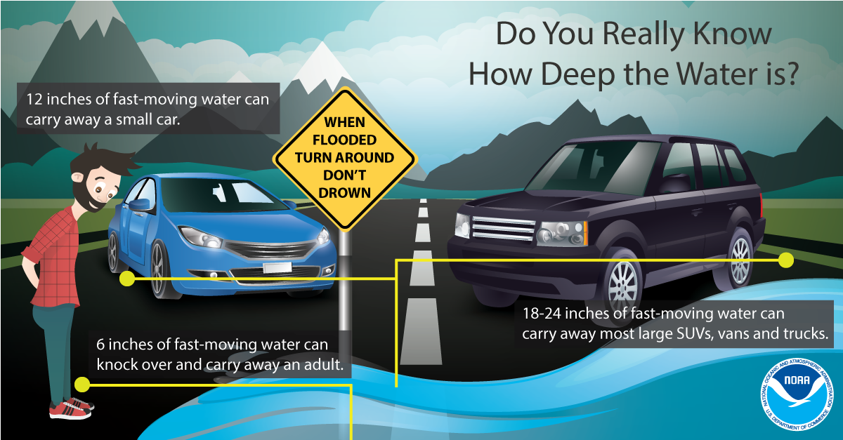
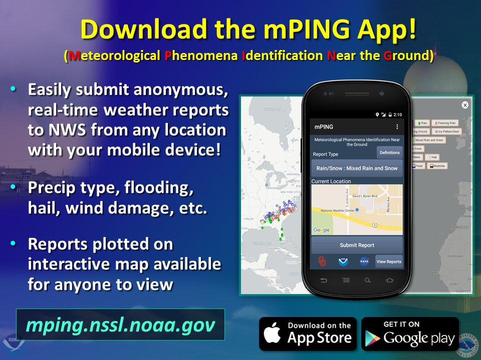
Marginal severe risk for ThursdayMost the state is in a marginal severe risk (level 1 out of 5) for Thursday. A backdoor cold front will drop south across the state during the afternoon hours, causing thunderstorms to pop-up along it as it passes. The main threats associated with these storms will be small hail and gusty winds. Storms will move fairly quickly across the area, so any heavy downpours would be brief and localized flooding would be minimal. Temperatures will be in the 80s throughout the state, with some upper 70s along the coast and Downeast. A weak (but sufficient) southwest flow will keep temperatures down but also help create a stable layer that may act as a boundary for storms to pop-up on later in the day. Expect a fairly muggy day in southern regions as well, as dew points will be in the mid-upper 60s. Most of the state will see mostly sunny skies before storms begin to pop-up, then becoming partly/mostly cloudy. Holiday Weekend OutlookTemperature wise, this weekend will be beautiful! After the cold front moves through, Friday will cool down a bit with temperatures in the 70s across the state. Dew points will be in the 50s throughout the state with the exception of southwestern regions which may see a few isolated low 60s. Regardless, it will be relatively dry. For the Saturday the 4th, temperatures will increase a bit into the upper 70s and low 80s throughout the state. It will remain relatively dry as well, so it's looking like a beautiful day for those backyard BBQs (socially distant, of course). Though there is a low chance for a pop-up afternoon shower or thunderstorm. Sunday will be similar in terms of temperatures. However, for Sunday, a weak system approaches the region. This system may bring some showers and storms for the state, especially during the afternoon hours. The timing and location of these storms depends on the wind direction and cloud cover. We will see how the system progresses throughout the first half of the weekend. Flood SafetyThough Maine didn't receive more than 5 inches of rain from the past few days, some other places in the U.S. are being heavily impacted by flooding right now. Areas in Mississippi are experiencing flash flooding emergencies as a mesoscale convective system (MCS) sat over the region and dumped around 8 inches of rain in some parts. Many homes are flooded and water rescues have been taking place. Though we can't control the weather, we can take appropriate actions in order to decrease damage and avoid emergency situations. For example, it can be very hard to see how deep water is when you're driving on the road, so as a rule of thumb, ALWAYS turn around. No matter if you think you can make it through, it will save lives and money in the long run if you find an alternate route. Help forecast verification, and stay informed!
For more information, please follow Pine Tree Weather on Facebook and Twitter.
Thank you for supporting this community based weather information source that is funded by your financial contributions. Stay updated, stay on alert, and stay safe! Make it a great day! - Alex :) |
Mike Haggett
|

