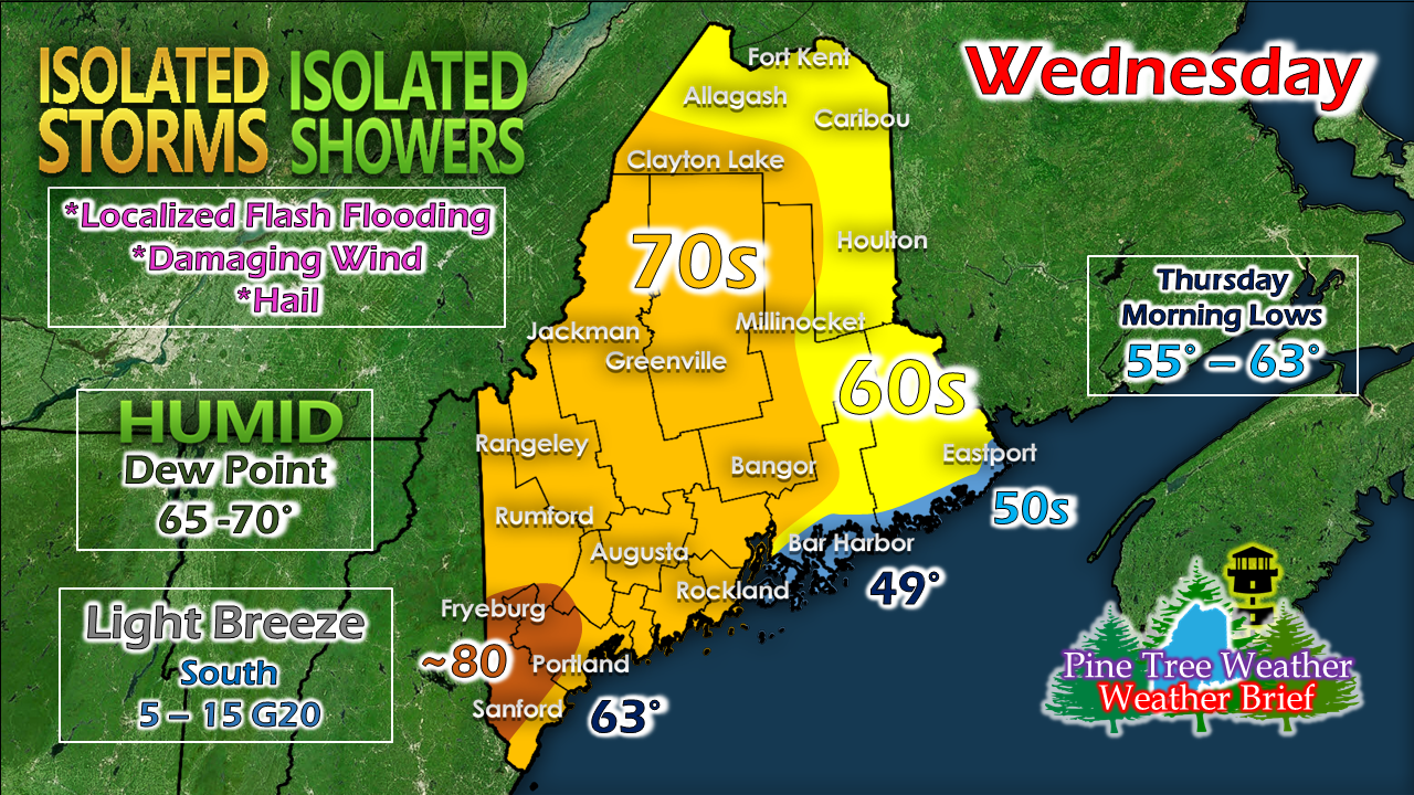
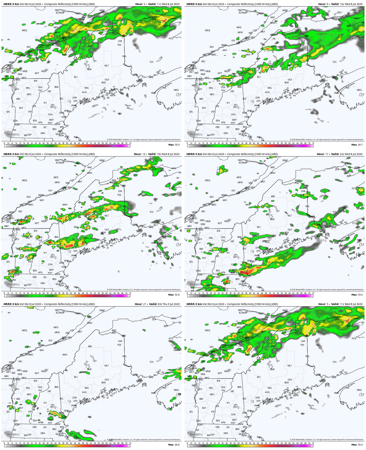
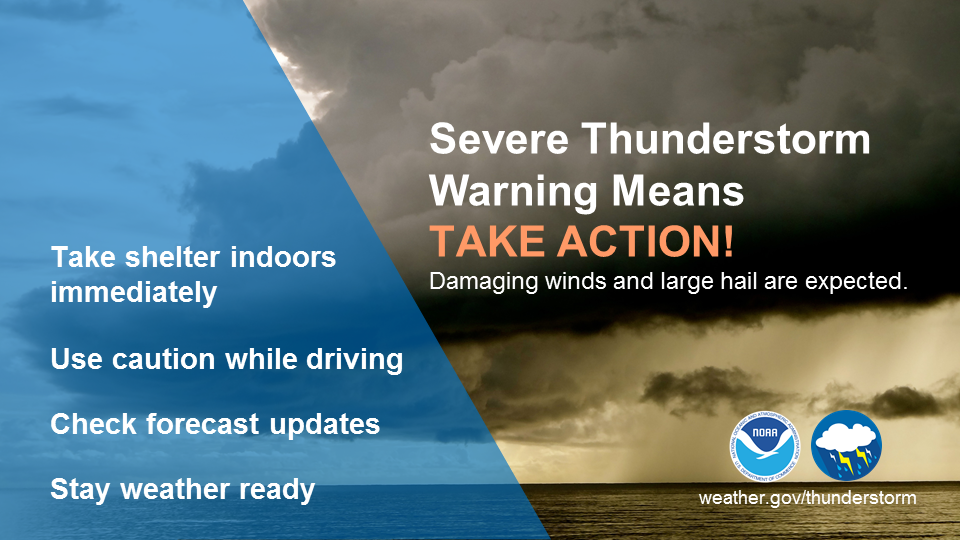
As humidity increases, the storm threat risesThe temperature forecast depicted here is a clear indication for where the potential storm threat is for Wednesday. Eastern areas may get a shower out of this, but the main activity will be for western and southern areas. A warm front approaches from the southwest and passes through the region during the day. While dew points will be fairly comfortable to start off, the surge of moisture associated with the boundary will saturate the air, and drive the humidity levels to uncomfortable levels. Cloud cover is going to dictate storm activity from midday into the evening. Where there is sun, this sets up the stage for heat to rise into the atmosphere, and touch off isolated potential strong to severe thunderstorms. Storms could bring the potential for localized flash flooding, damaging wind, frequent lightning and hail. Given the dynamics, an isolated tornado cannot be ruled out. The storms could be slow movers, and with the high humidity levels could bring an inch or two of much needed rain or more in some areas. Folks hiking or camping out in the mountains and foothills should be aware of their surroundings. It would be advisable to stay away from any brooks and streams which could fill up quickly in a heavy rain event. Keep an eye to the sky, stay on alert, and make sure you can receive alerts in order to take shelter in a secure structure when warnings are issued. We'll have an update here on the heat on the way later in the week, along with potential for more rain and storms over the weekend later in the day. When thunder roars, head indoors!Help forecast verification, and stay informed!
For more information, please follow Pine Tree Weather on Facebook and Twitter.
Thank you for supporting this community based weather information source that is funded by your financial contributions. Stay updated, stay on alert, and stay safe! - Mike |
Mike Haggett
|


