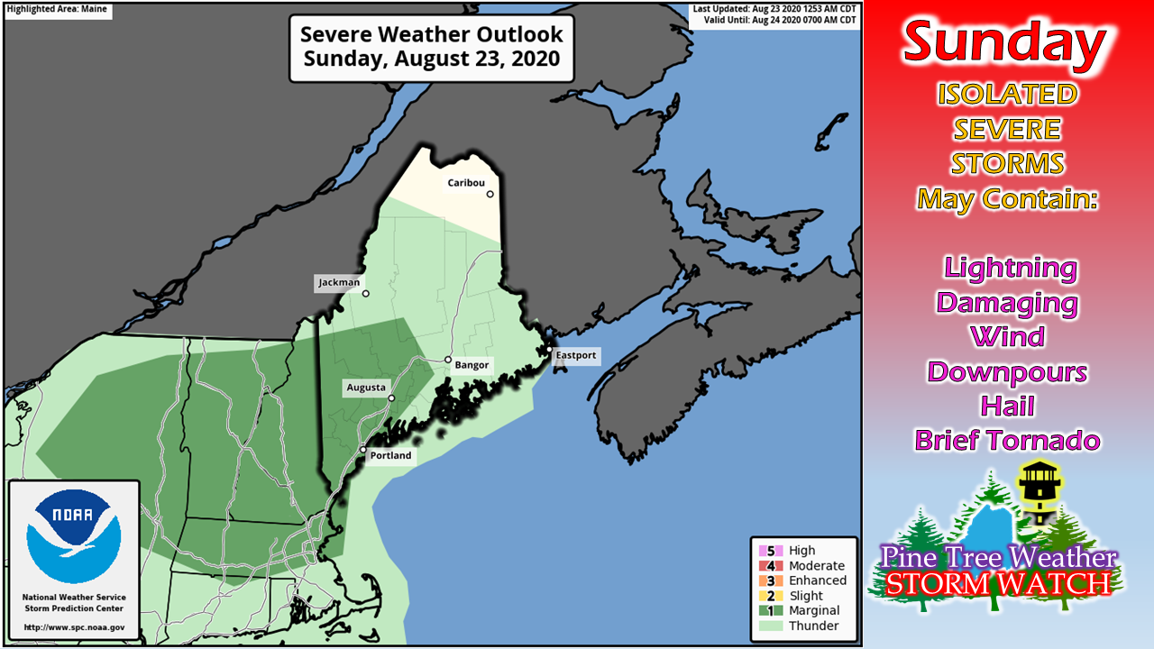
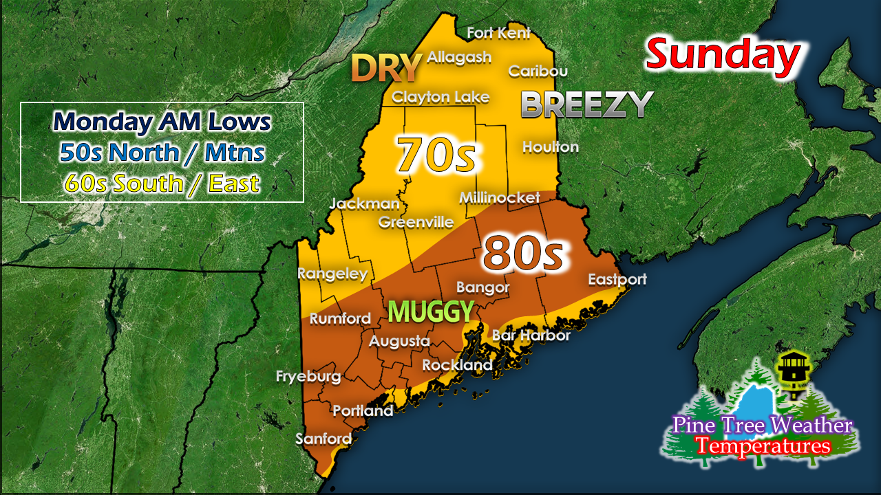
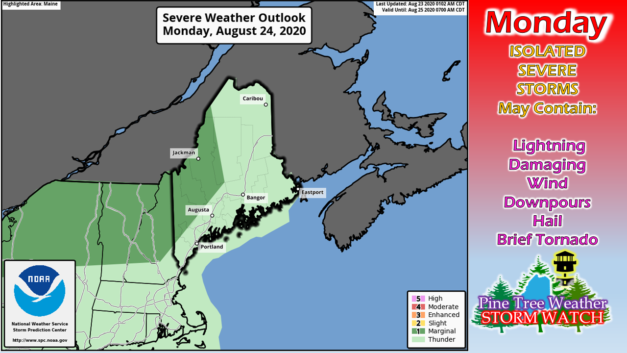
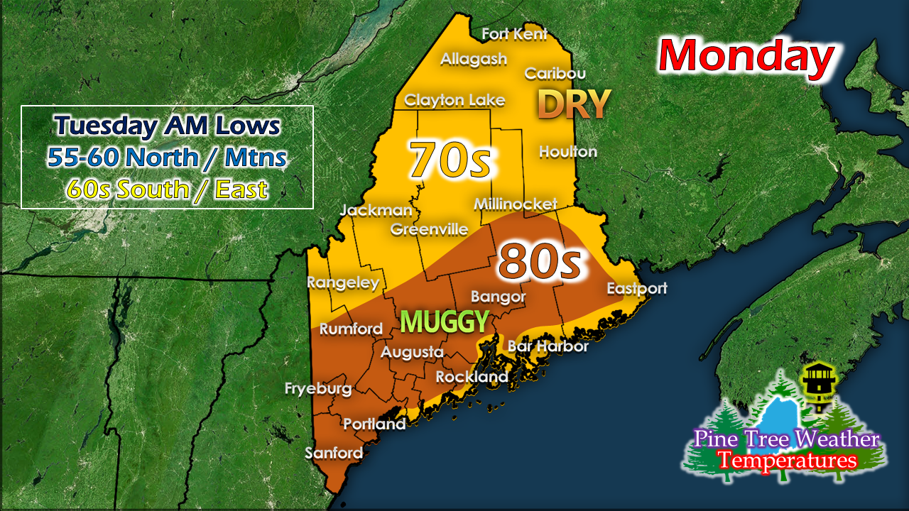
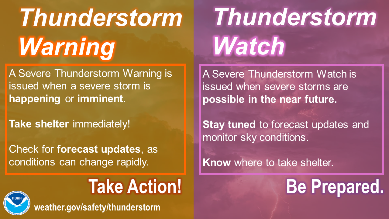
More widespread storms expectedIt's sounds like a broken record at this point, and the needle will skip on the scratches of the vinyl disc through Tuesday as the threat for storms continue. The storm threat will be on the increase Sunday afternoon. Where storms will be the strongest will be in the vicinity of where the boundary of the warm front sets up, which is a bit a guess, but the general idea is depicted on the Severe Weather Outlook graphic from the Storm Prediction Center above. Will there be a watch? I think there is a better than 50% chance of one. I suspect the area of concern may expand (noted in the dark green above) as humidity levels and warm temperatures are expected for eastern areas. For areas of the western foothills to eastern areas of the state southward, I'd pay close attention to the sky, and expect that you may get something out of this. For those planning hikes or camping, the beach, or hitting the golf course from noon onward... stay on alert. After the storms pass this evening, expect a sticky night from Bethel to Millinocket south. Play it again for MondayA strong, slow moving cold front approaches from the west which will bring another round of showers and storms to the region. Again, the area of concern shown here by SPC could be expanded also. Where there is humidity is where there is fuel for storms. Cloud cover and daytime heating will dictate the storm threat. Tuesday may prove out to be the roughest day of all in this stretch. All of the northeast is included in Storm Prediction Center's Day 3 Outlook (time sensitive link) under slight risk, which is rare to get that notation this far out. We'll have a peaceful day on Wednesday. Some areas may need it.
For more information, please follow Pine Tree Weather on Facebook and Twitter.
Thank you for supporting this community based weather information source that is funded by your financial contributions. Stay updated, stay on alert, and stay safe! - Mike |
Mike Haggett
|

