
Another bad storm to contend with Looking over data Sunday afternoon, the outlook isn't getting any better. Big wind for MidCoast areas eastward along the DownEast coast with high wind warnings. Wind advisories south of there along the coast and coastal interior, along with all of eastern and northern Maine. Flood Watches have been issued for most areas with a snowpack. This won't be like the October Gale of 2017, but it will be enough. Power outages likely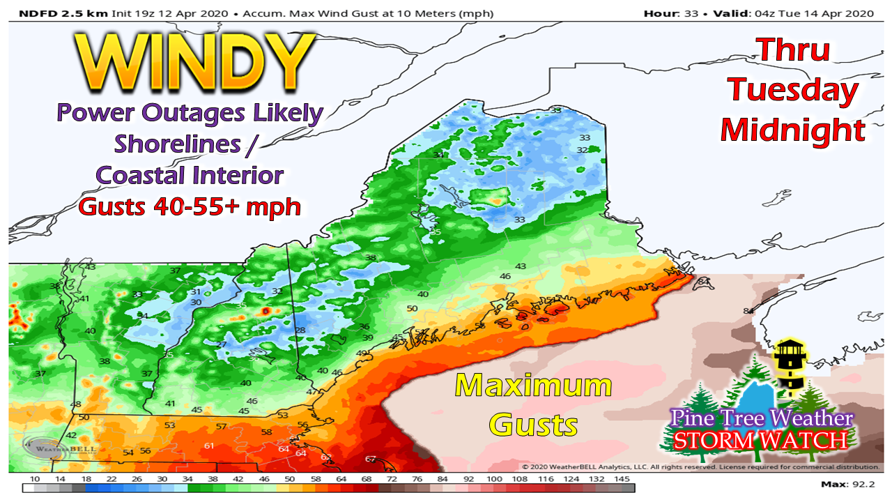 A HIGH WIND WARNING is now in effect for Lincoln, Knox, Waldo, Coastal Hancock and Coastal Washington Counties. Wind gusts could reach up to 60 mph in that region. A WIND ADVISORY is in effect for York, Cumberland, Sagadahoc, Androscoggin, Southern Franklin, Somerset, Aroostook, Piscataquis, Penobscot, interior Hancock and interior Washington Counties. Wind gusts could reach up to 50 mph there. This as of 4 PM Sunday... check with your local NWS office for revisions. The strongest gusts occur Monday afternoon into mid-evening. The wind slowly subsides late Monday night, but will continue to be breezy until Tuesday evening. Any heavy downpours or thunderstorms could bring damaging downdraft wind along with it. SHORELINE AREAS: Expect seas of 10-18 feet to impact the shorelines. The tide of concern in Monday afternoon around 4 PM for splash-over. Flooding, if any, is likely to be minor. Flood potential for the rivers possibleA FLOOD WATCH is in effect for Aroostook, Penobscot, Piscataquis, Somerset, southern Oxford and southern Franklin Counties. This as of 4 PM Sunday... check with your local NWS office for revisions. 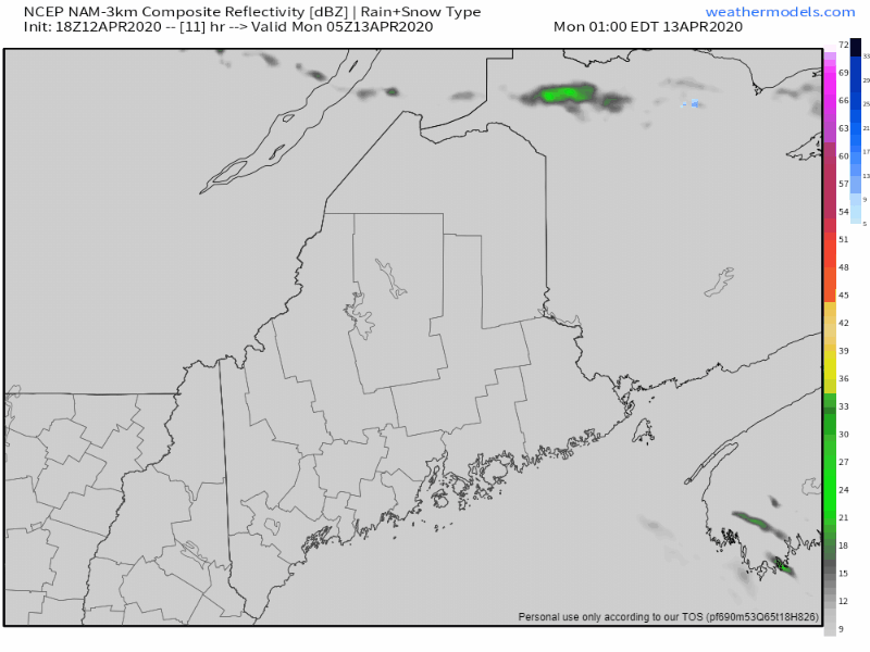 No real changes on the timing of the precipitation. Rain overspreads western and southern areas around 5-7 AM Monday morning and spreads across the rest of the state by noon. Rain falls heavy at times through the afternoon and ends from west to east Sunday evening by midnight Monday. 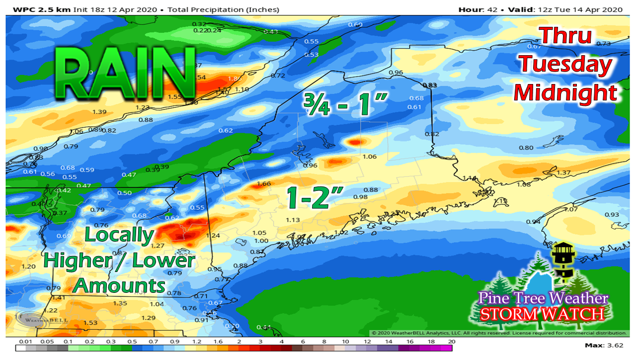 Notice the mountains are where the higher accumulations of rainfall are possible. With the southerly wind and pressure lift, those are the areas which could easily exceed 2" of rainfall. MidCoast and DownEast areas could top out around that mark with the flow of moisture off the ocean. For interior areas, this means snowmelt and runoff. Rivers with ice are likely to become agitated, and could cause ice jams and flooding associated with that. Folks that live near or travel around rivers and streams should be on alert for fast rising water levels Monday afternoon through Tuesday. Areas downstream along the coast (Androscoggin, Kennebec, Penobscot) should be aware of rising waters, For Aroostook County, eyes are on the St. John and Aroostook rivers for ice jams and flooding up there through Tuesday and perhaps beyond. Recovery outlook after the storm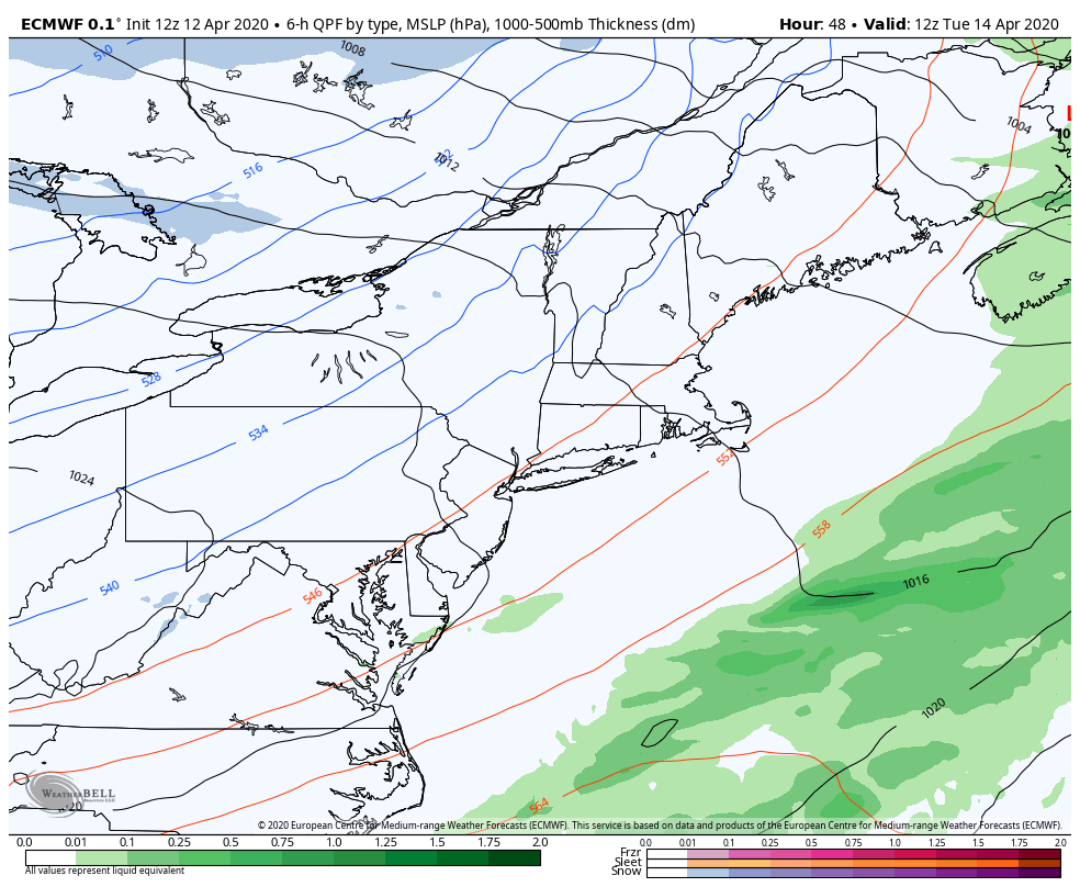 After back-to-back battering events, the pattern settles down after this though the remainder of the week. Temperatures will range in the 40s/50s for highs on Tuesday, then generally in the 40s through the rest of the week. Overnight lows will be in the 30s/40s for Tuesday, then cooler with 20s to around 30° through Friday.
It may be Sunday before the next storm impacts the region. With the recent loss of power, internet and cell phone disruption, it would be wise to consider a small investment into an NOAA Weather Radio. For $20-$40, it could provide important information to you when you need it. The weather bands are standard on most public safety scanners, and newer scanner models and weather radios can be programmed for auto alert. Click here for more information. ► ► For the latest official forecasts, bulletins and advisories, please check in with the National Weather Service in Gray for western and southern areas, or Caribou for northern and eastern parts of Maine. Thanks as always for your support! - Mike |

Mike Haggett
|


