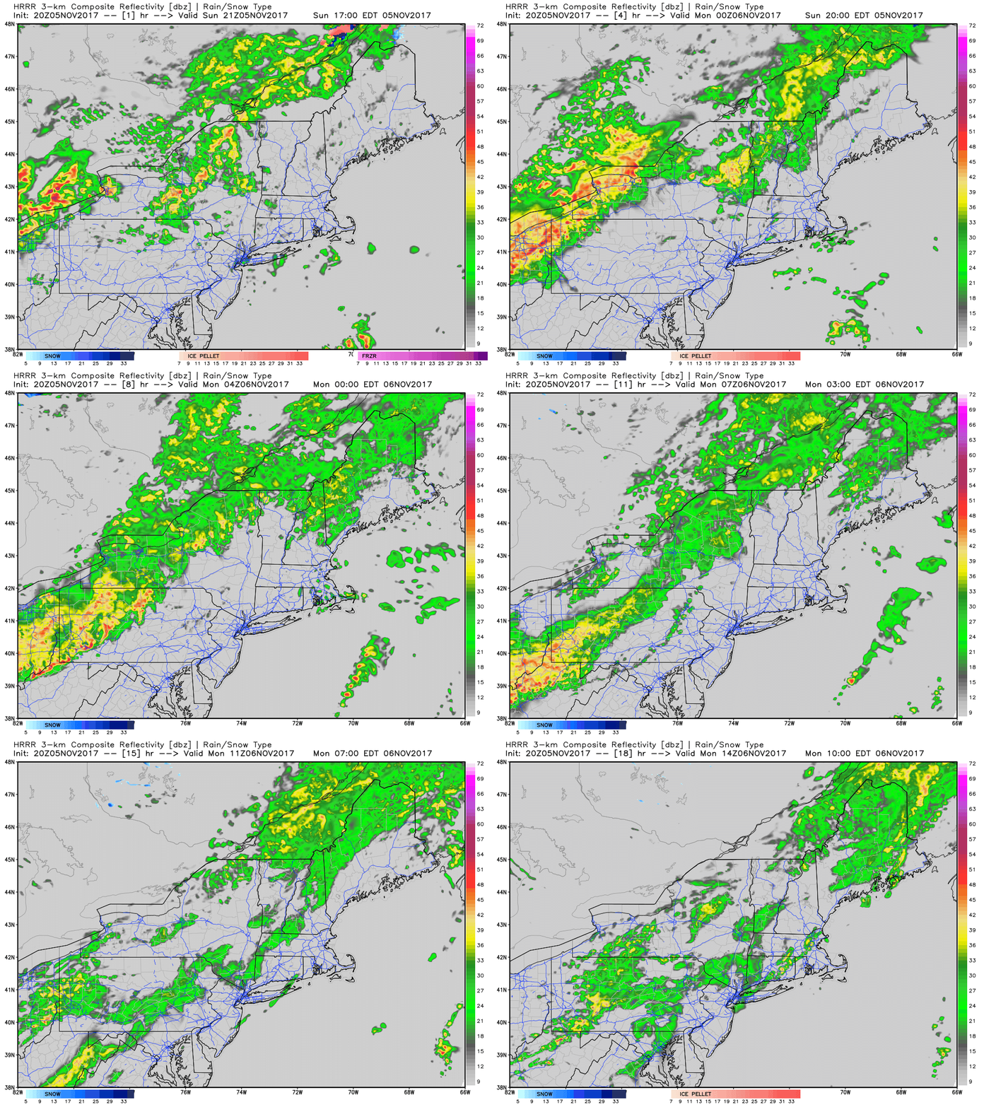
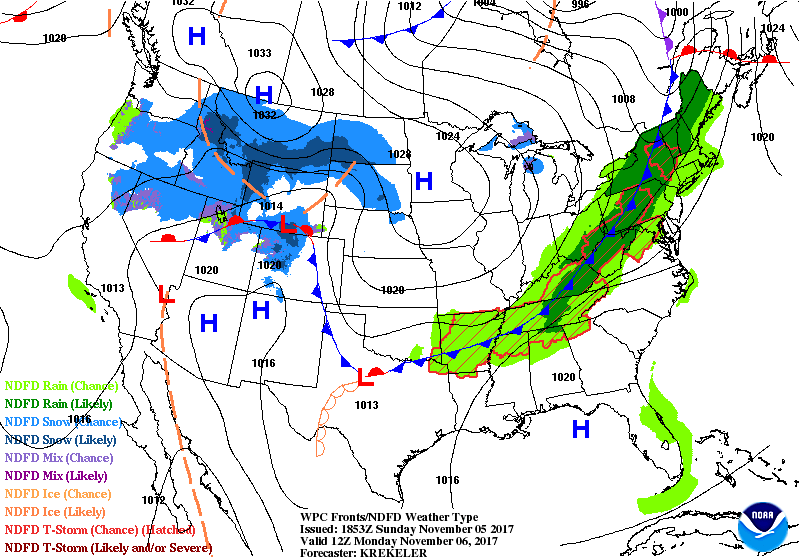
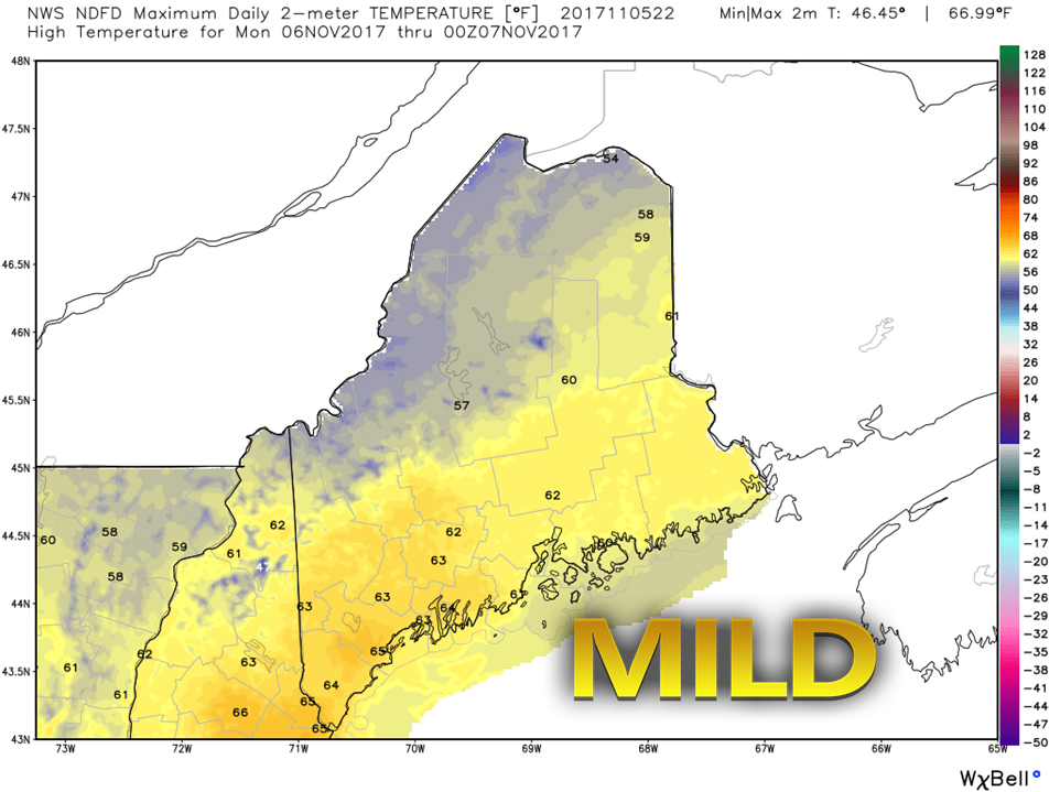
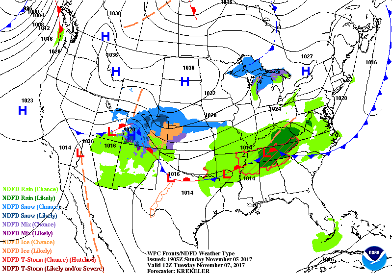
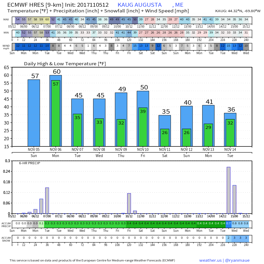
Power Outage UpdateCentral Maine Power reported 9,058 still in the dark from Monday. Emera Maine has just about completed restoration and are indicating 549 outages. If you are one of them, please comment on the Facebook page on this post and let us know how you are doing and any information to when you may have power again. Forecast remains on trackNo real changes to the post made earlier today on the forecast. Humidity is building as the warm front has entered the state. Areas of drizzle and fog are likely to form in addition to shower activity increasing over much of the state. It will be a warm night for early November, with overnight lows in the 40s to low 50s. Cold Front Arrives For MondaySteadier rain sweeps west to east during the day. As I mentioned earlier, I cannot rule out the chance for an embedded thunderstorm as colder, more seasonable air tracks in behind the front. Not concerned about any flooding issues, maybe an isolated chance for some localized flash flooding at worst for the mountains and north. For you folks who dread cooler air, enjoy Monday. This appears to be as warm as it gets for the week as it steadily goes down hill beginning in the afternoon. With the frontal passage comes a southwest breeze ahead of it, and a northwest breeze behind it. Gusts range generally in the 20 mile an hour range, with the anemometer tipping 30 in the higher elevations and north. Snow showers and flurries are possible on the backside of the front for the mountains, foothills and north. I am not expecting any accumulation. Temperatures fall to around 30° in north and west, to around 40° south and east by Tuesday morning. November returns TuesdayHigh pressure moves eastward for Tuesday. Any early morning flurries in the north should clear out early. Temperatures are forecast within a degree or two of seasonal average, around 40° for the mountains and north to around 50° south and east. Outlook through the weekendTaking a look at Augusta through the eyes of the European operational model shows the steady downhill trend quite well. Next chance for some precipitation appears to be on Friday as an arctic front works into the region. Temperatures for Saturday appear to fall well below normal. I am thinking at this point the highs for the weekend may be a bit warm according to this idea. I will be tracking a potential rain/snow event that could impact the region next week.
The complete 7-Day Outlook through Sunday is posted on that page. Thanks for your support! -Mike |
Mike Haggett
|

