
A few slick spots into Monday morning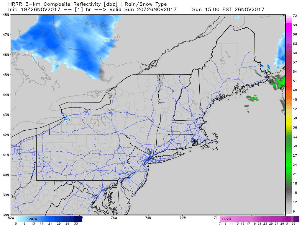 The second wave of precipitation works through the region overnight. Not expecting much in the way of accumulating snow, but it could be enough to dust up some roads and create some slick spots overnight into Monday morning. I suspect some areas of the mountains and north may be dealing with flurries into Monday morning and have left them in the 5-Day Outlook. Monday to feel like winter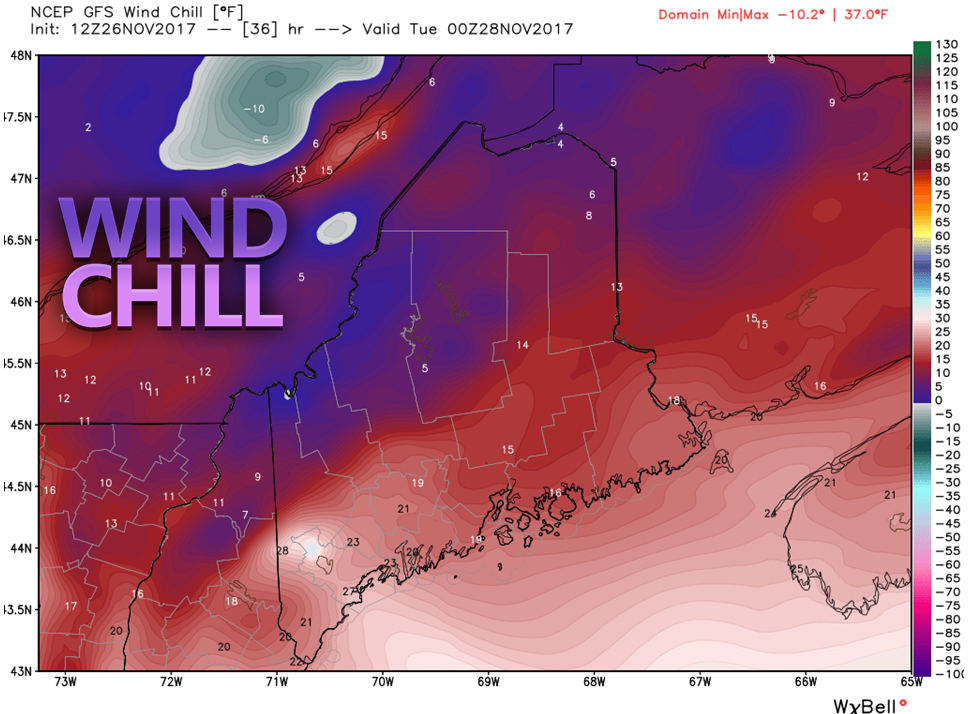 In the aftermath of the trailing front comes a reinforcement of cold air. Wind will pick up during the afternoon from the west/northwest as high pressure advances into the region. Wind chill values tumble to the single digits for much of the north, with teens to around 20° by 7 PM Monday evening. The wind drops overnight, becoming calm by Tuesday morning. High Pressure for Tuesday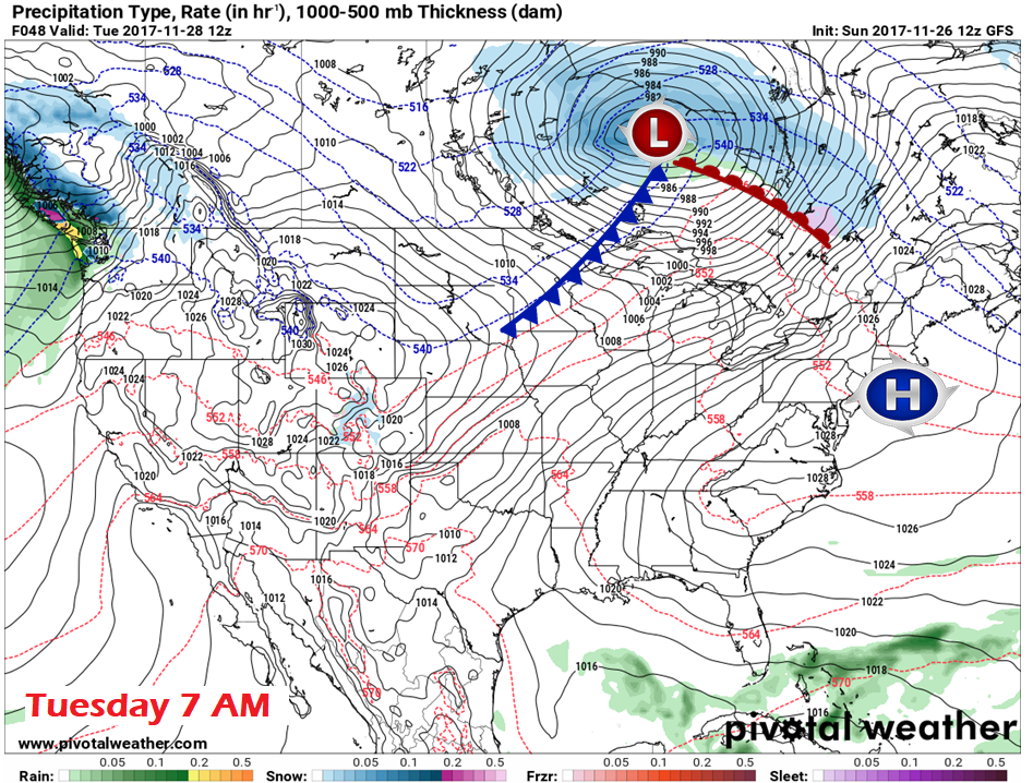 By Tuesday morning, high pressure appears to crest over southern New England. The high moves eastward during the morning, and a southwest flow develops in the afternoon. That southwest flow will bring in warmer air, and some high clouds along with it. The cold front associated with the low near James Bay races eastward, and showers will approach the region Tuesday night into Wednesday. An inclement start to Wednesday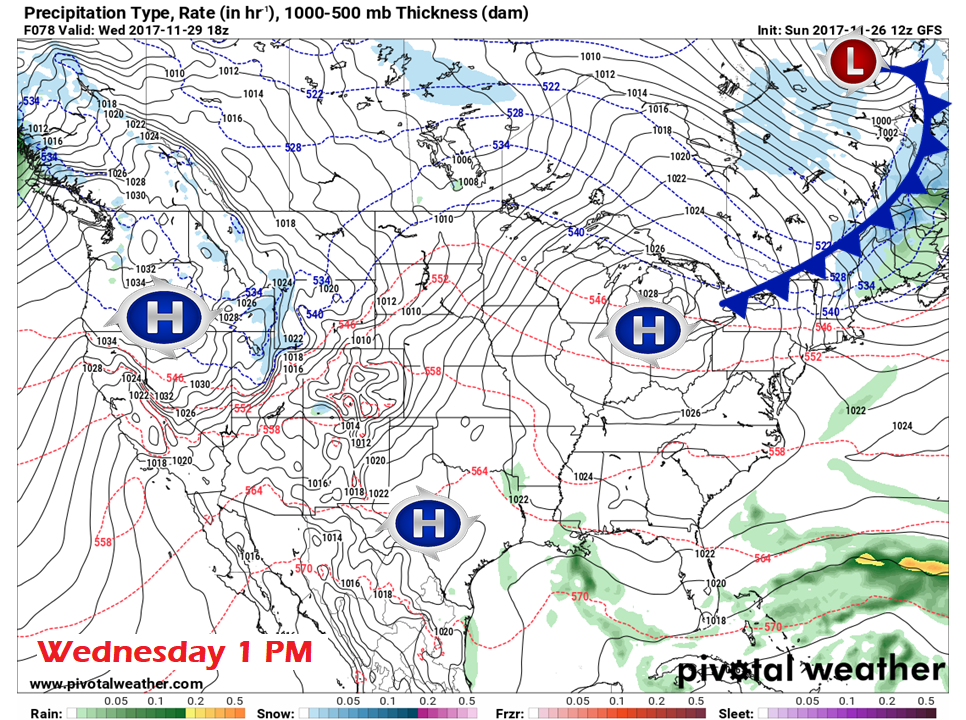 Given the weak nature of the front, I am not expecting much in the way of precipitation amounts with this one. That said, the mountains and north are likely to see some snow shower activity Wednesday morning, and rain showers for the south and east. The snow showers may drop enough accumulation for some slick spots for the foothills, mountains, and north country. This front appears to move quick enough so that the sun may poke out over western and southern areas in the afternoon, and perhaps the north and east by around sunset. High pressure returns Thursday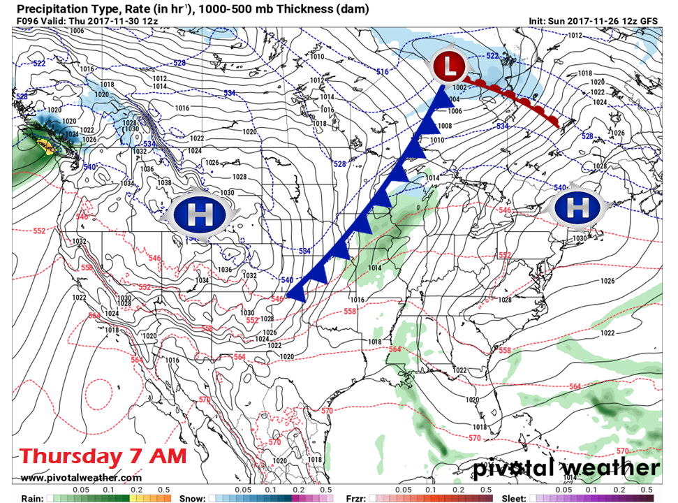 By Thursday morning, high pressure once again settles over New England. The long wave front by then will have taken shape over the Midwest and will slide eastward during the day. High pressure will exit to the east, and the southwest flow will pick up in the afternoon, prior to the front's arrival. Questions for Friday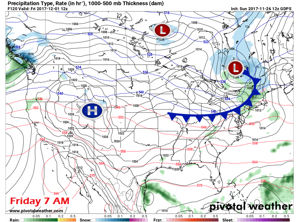 This is a definitely "stay tuned" forecast. The Canadian model depicted here is likely the best guesstimate in how this will play out as far as precipitation concerns. Snow showers / wintry mix for the interior, showers for the coast. It would be great to put that in a box and call it good, but that isn't the case just yet. 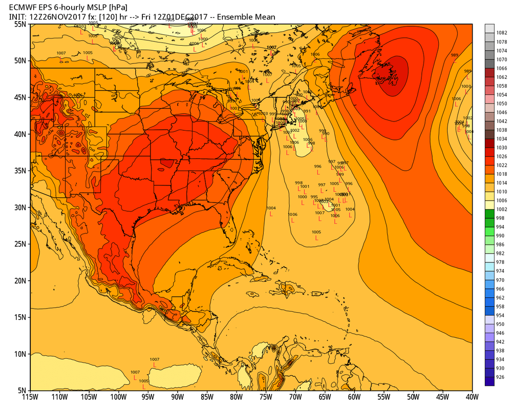 There is all kinds of ensemble disagreement on where and if a secondary low forms along the front. That leaves many questions on the table to how this will play out. For now, expect a stormy day that could linger into Saturday. For now, I am going with the Canadian model as a basis for how it could start off. How it ends is a mystery for now.
IF the secondary low does form, it could mean a plowable snow event for the mountains and the north. South and east of there is a big question mark. I will update on this as the week unfolds. - Mike |

Mike Haggett
|


