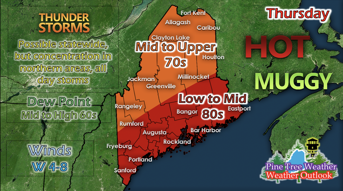
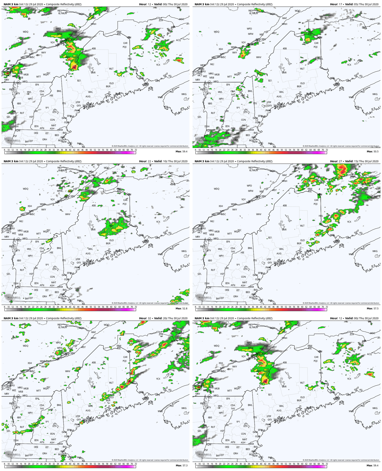
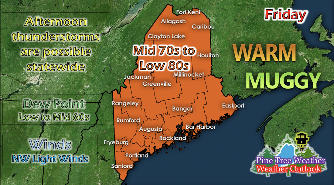
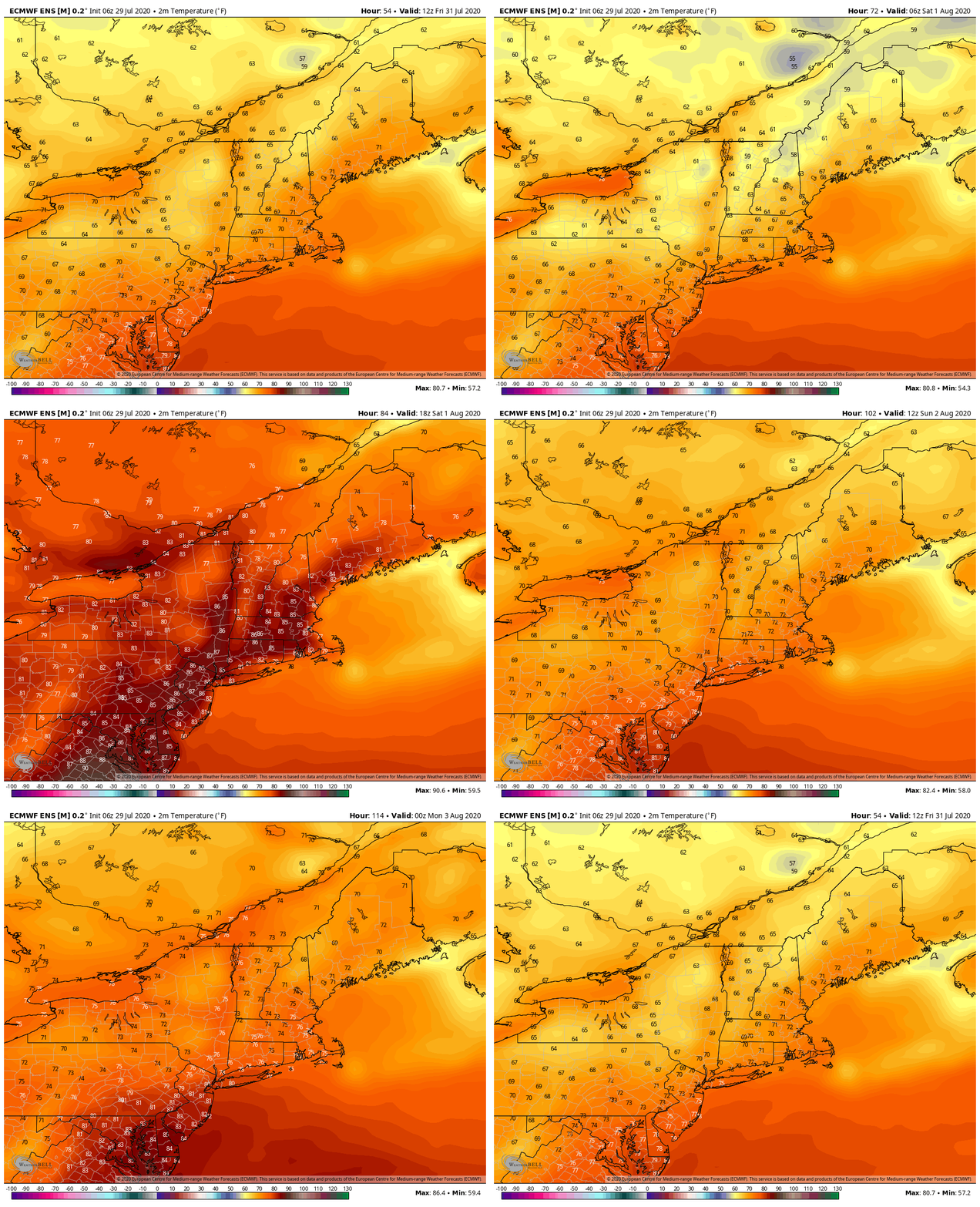
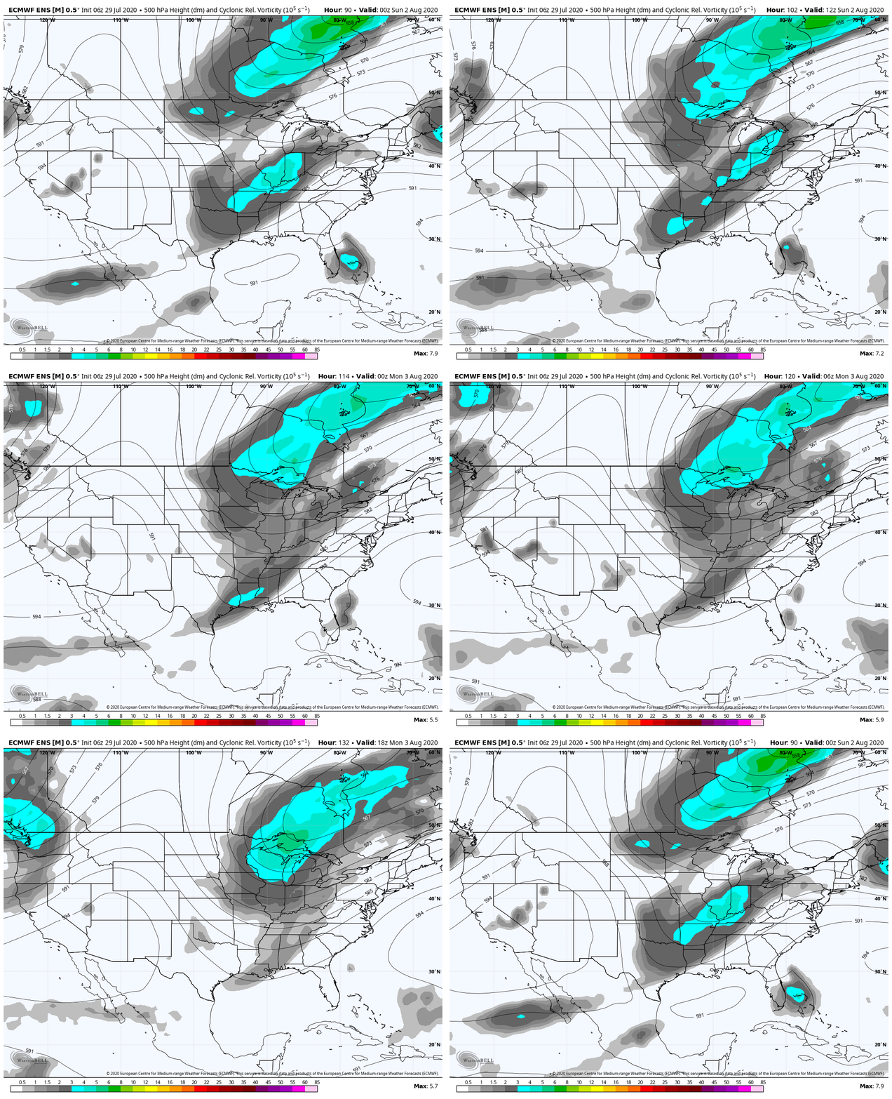
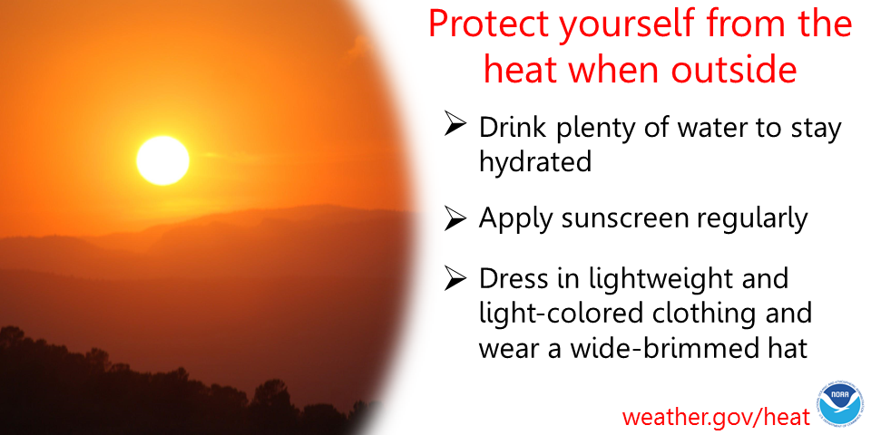
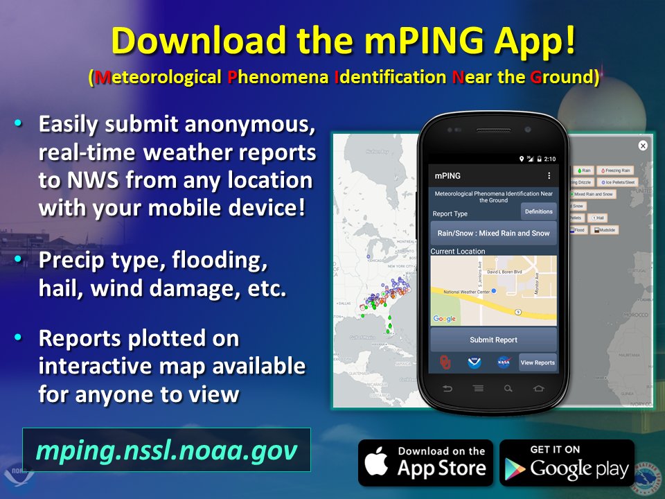
Thunderstorms on Thursday, a look at this weekend's temperatures and next week's potential system7/29/2020 Thursday: Thunderstorms and slightly cooler temperaturesA low pressure system will be passing north of Maine tonight and into Thursday morning, pushing a cold front into the state. With this cold front brings all day thunderstorms and slightly cooler temperatures. Northern and some parts of central and western Maine will be in the mid to upper 70s, and southern and coastal areas will be in the low to mid 80s. Dew points range from mid to high 60s statewide, with possible higher dew points closer to the coast. Winds are westerly from 4 to 8 mph as the cold front passes through. The GIF above runs from 8 AM to 8 PM on Thursday and is a short-range model's run of reflectivity for Thursday's thunderstorms. As the cold front passes through, it creates lift across the state and thunderstorms are possible to initiate statewide. The greatest possibility for stronger storms is in the afternoon, where daytime heating creates greater instability during the day. None of these storms are expected to become severe, due to lack of high CAPE values (energy in the atmosphere). Friday: Slightly cooler temperaturesAfter the passing of the cold front and thunderstorms on Thursday, Friday is met with slightly cooler daytime high temperatures. Statewide is expected to range from mid 70s to low 80s, with northern areas more likely to be in the mid to upper 70s and southern areas more likely to be in the upper 70s to low 80s. There's no distinct line to where there will be certain temperatures, so statewide is described to be in the mid 70s to low 80s. Dew points drop a little bit to low to mid 60s. Winds from the northwest bring slightly drier air (the reason the dew point dropped a little), and winds will be light on Friday. Some afternoon pop-up storms are possible statewide, but aren't very likely to happen. Weekend temperature outlookThe GIF above runs from 8 AM Friday to 8 AM Monday and shows a temperature run from a long-range model. As the recent low pressure system passes by, a high pressure system comes in for the weekend, bringing a small increase in temperatures. Dew points look to remain in the 60s statewide, so it'll be muggy, but a generally nice weekend for Maine. Next week's incoming systemThe GIF above runs from 8 PM Saturday to 8 PM Monday and shows 500 mb (mid-level) vorticity. A widespread vorticity signature is making its way to the New England region in the beginning of next week. This means that a pretty strong low pressure system is coming next week, around Sunday night into Monday morning. Surface low pressure systems tend to move faster than the vorticity signature its emitting. This means we expect to see some sort of precipitation or storms or both by the end of the weekend or the beginning of next week. More information on this potential will be talked about once more information from future model runs are released. Heat SafetyThe summer heat is in full swing, and with it comes some danger to the body if not properly protected. It's important to apply sunscreen regularly when exposed, especially in the afternoon hours, where the sun's strength is at its peak. It's equally important to drink plenty of water to stay hydrated and dress in lightweight and light-colored clothing, with some sort of hat to protect your face. Stay safe in the summertime heat and practice heat safety! Help forecast verification, and stay informed!
For more information, please follow Pine Tree Weather on Facebook and Twitter.
Thank you for supporting this community based weather information source that is funded by your financial contributions. Stay updated, stay on alert, and stay safe! Thank you so much for all of your continued support! This is my Venmo if you'd like to contribute: @Kaitlyn-Lardeo Have a great day! - Kaitlyn |
Mike Haggett
|

