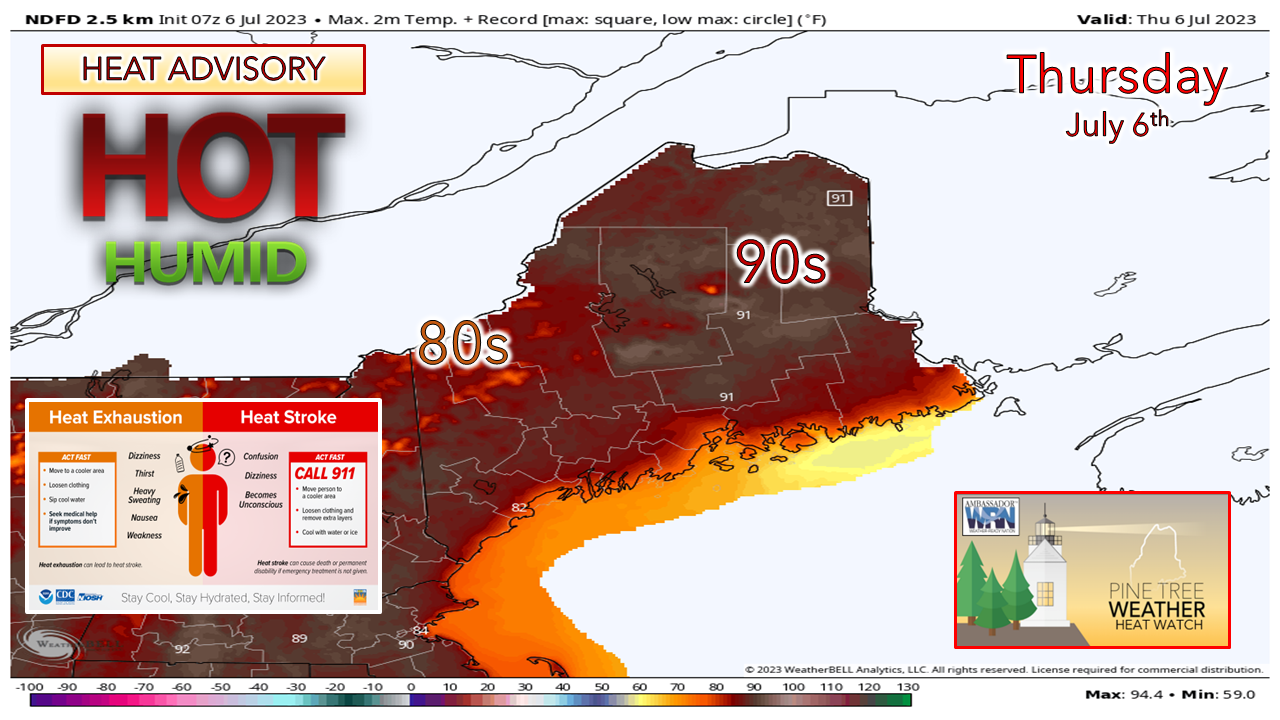
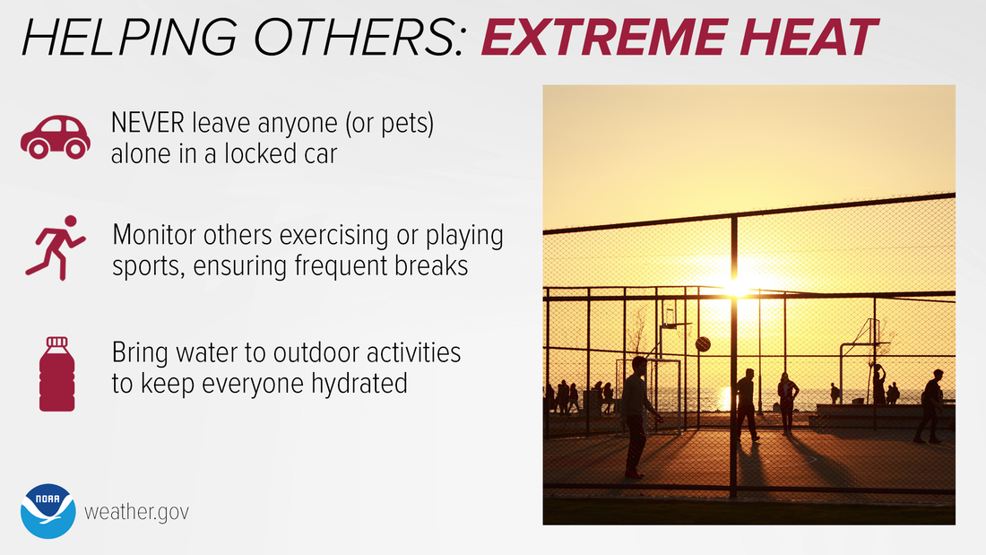
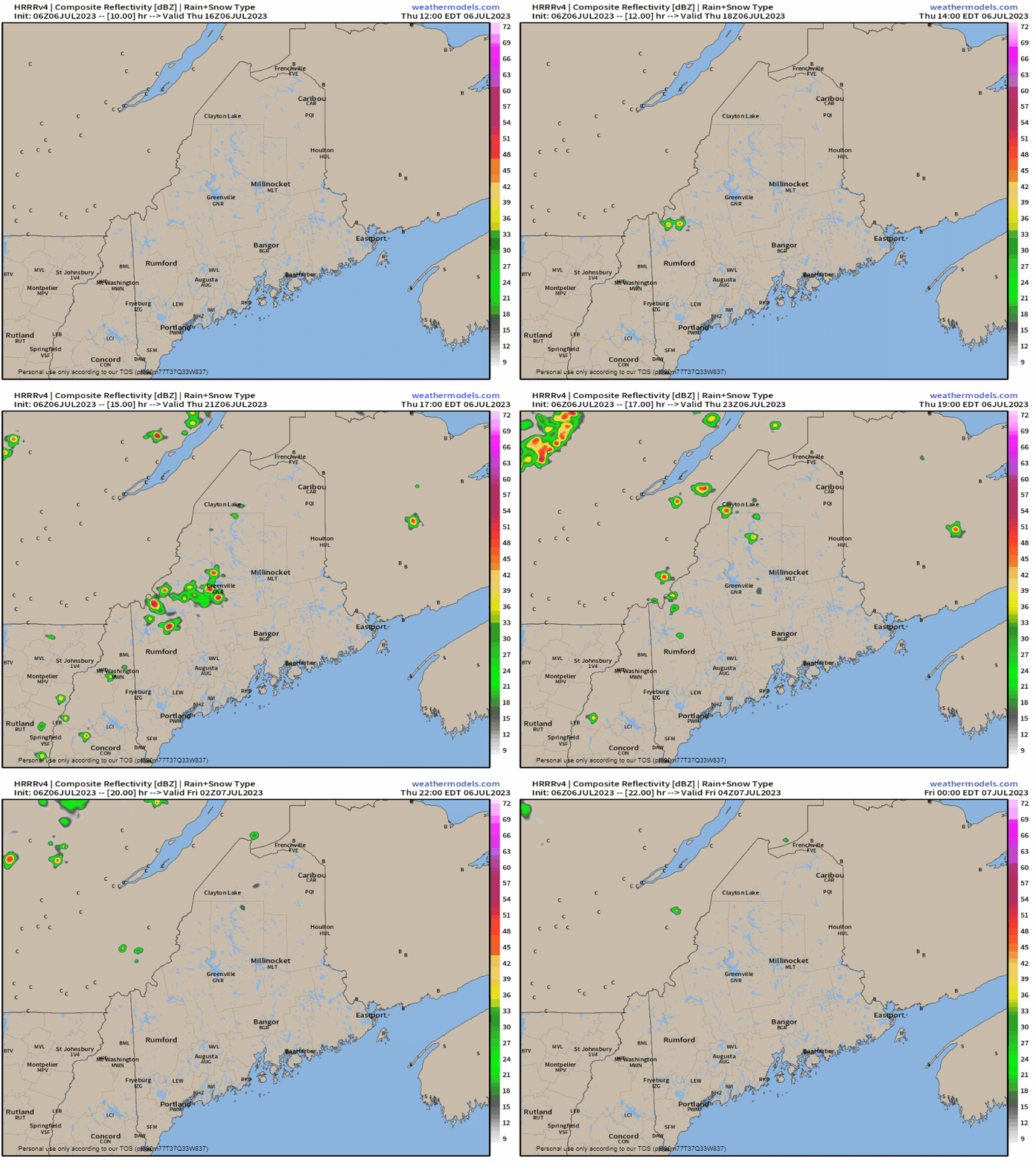
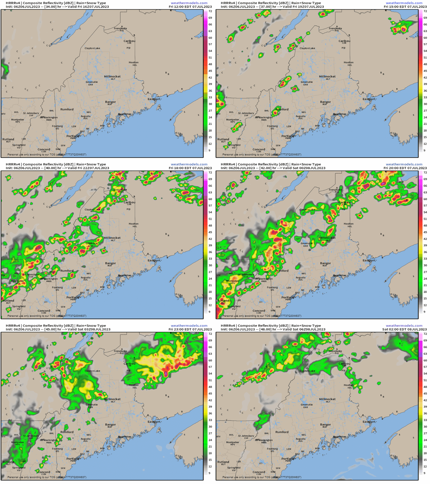
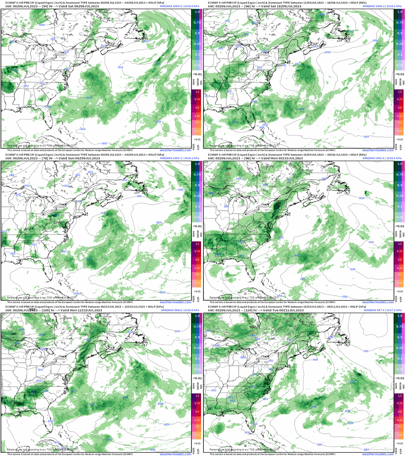
The hottest day of the summer so farFor those patiently waiting for summertime heat, you've been rewarded. The heat index spiked into the 90s on Wednesday and will do so again on Thursday. Caribou will take a run at a record high (91° in 1976) as will Bangor (91° in 2019), Millinocket (91° in 2010), and perhaps Houlton (93° in 1976). A bit of a sea breeze is expected to bring relief to the shorelines but may not venture in too far with high pressure to the west. If you are headed to the ocean beach, do so early. High tide will around 2 PM this afternoon, crowding space there. Children, the elderly, and those with chronic illness are especially vulnerable to heat exposure. NEVER leave anyone (or pets) alone in a locked car. Monitor people exercising or playing sports, ensuring frequent breaks. Bring water to outdoor activities with others to keep everyone hydrated. Learn the signs of heat-related illnesses at weather.gov/safety/heat-illness Thursday 12 PM to Midnight Friday - There could be a few pop-up showers with perhaps an isolated storm along the Quebec border in the afternoon. I am not expecting too much in the way of a severe threat, but with the dew points in the upper-60s to low 70s, that idea can't be completely dismissed. Torrential rain with flash flood potential is the main concern as these are likely to be slow moving dumpers. After sunset, showers and storms fizzle out as the atmosphere cools. Expect areas of fog in spots, which could be locally dense. Showers and storms for interior areas FridayFriday 12 PM to Saturday 2 AM - Friday does not appear to be as hot as clouds increase as a cold front approaches from the west. With high pressure to the east and low pressure attached to the front to the west, it will get the sea breeze going stronger which will bring relief from the heat further inland, especially MidCoast and DownEast areas on up into Bangor. Showers with the risk of a strong to severe storm is expected once again for the mountains on up into The County. Heavy rain, gusty wind and small hail is possible with stronger storms. Slow moving frontal boundary over the weekendSaturday 2 AM to Monday 8 PM - The atmospheric set up is for a strong ridge of high pressure south of Greenland and a strong upper low cutting across central Canada. Model ideas are varied in how the two are going to interact. I do expect showers and storms around over the weekend, with the better chance for activity over the interior. Cooler temperatures will be on the way with forecast highs in the 70s, with the juicy dew points just a few degrees below that. Shower activity is expected to increase Sunday afternoon into early Monday as the front passes through. Low pressure may develop around the Carolinas early on Tuesday and move northeast, which could bring another round of heavy rain to area. Stay tuned for updates on that Click here for the old school Weather Channel Local ForecastScroll to the bottom and click on Hazardous Weather, scroll back up, enter your town, then click go! Pine Tree Weather is funded from followers like you. I would appreciate your financial support. Click here for how you can contribute. You may not like the weather, but I hope you like what I do, and support my efforts. Thank you! Stay updated, stay on alert, and stay safe! - Mike NOTE: The forecast information depicted on this platform is for general information purposes only for the public and is not designed or intended for commercial use. For those seeking pinpoint weather information for business operations, you should use a private sector source. For information about where to find commercial forecasters to assist your business, please message me and I will be happy to help you. |
Mike Haggett
|

